Your cart is currently empty!
Find Out Which Indigenous Lands You Currently Inhabit on This Map

Have you ever considered whose history lies buried beneath the foundations of your home or office? While standard maps define our world through political borders and property lines, they often obscure the rich, enduring presence of the Indigenous peoples who have stewarded these lands for millennia.
Contents
show
A powerful digital initiative is now peeling back these layers, offering a transformative way to visualize our surroundings and challenging us to acknowledge the deep, often unspoken connections that predate modern geography.
A Digital Window into Ancestral Lands
Native Land Digital, a Canadian non-profit organization led by Indigenous people, has developed a comprehensive digital tool designed to illuminate the history of lands often obscured by modern geopolitical borders. Established as a web-based resource and accessible via iOS and Android mobile applications, this interactive map details Indigenous territories, languages, and treaties across the globe.
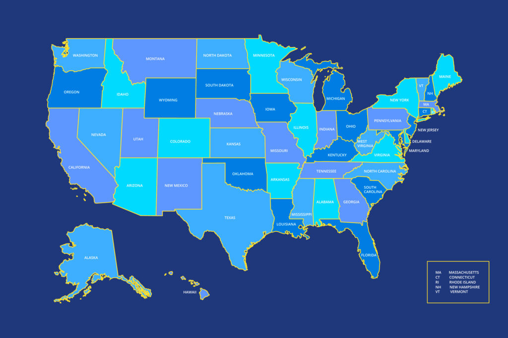
While the project offers detailed insights into North America, the database is vast, covering regions in Central and South America, Africa, Australasia, Nordic Europe, and parts of Asia. The platform allows users to input specific addresses to discover the ancestral connections tied to that location. For instance, a search for the White House in Washington, D.C., reveals that the residence is situated on land formerly inhabited by the Nacotchtank, or Anacostan, people.
Created in 2015 and formally incorporated in 2018, the initiative serves as an evolving educational resource. By visualizing these connections, the tool provides a starting point for understanding the complex history of habitation that predates current state lines.
Redefining Our Relationship with the Land
The organization’s mission extends far beyond digital cartography. According to Native Land Digital, the project strives to challenge the conventional Western concept of land ownership. In their mission statement, they explain that land is often treated as a commodity to be divided and owned, whereas Indigenous perspectives view it as something to be honored and treasured.
By mapping these territories, the non-profit aims to facilitate a deeper conversation about colonialism and the “complexities of history.” The goal is to build stronger relationships between Indigenous and non-Indigenous communities by acknowledging the original stewards of the environment.
This digital effort is described as an exercise in “righting the wrongs of history.” It pushes users to confront the reality that many modern cities and neighborhoods sit atop ancestral homelands. The organization notes that while some may find this history uncomfortable, “truth is the best teacher.” Ultimately, the map is intended to be a tool for reflection, inspiring individuals to understand their own place within this historical context.
An Evolving Map, Forged in Collaboration

Creating a definitive map of Indigenous territories is an intricate task filled with logistical and ethical challenges. Native Land Digital openly acknowledges that the project is a “work in progress” rather than a finalized legal document. Unlike modern political maps that use rigid lines to delineate ownership, Indigenous territories often overlap and shift over time, making them difficult to define with static borders.
The organization faces the profound responsibility of defining “Indigenous” across different eras and ensuring that communities can represent themselves on their own terms. To maintain accuracy, the team relies on a variety of valid sources, including oral histories, written records, and maps sketched by reasonable authorities. When conflicts arise between sources, they generally err on the side of being “more expansive” to honor the breadth of historical presence.
Users are cautioned that the map does not represent legal boundaries. Instead, it relies heavily on community contributions to refine its accuracy. The non-profit encourages users to view the map as a starting point for their own research rather than an absolute authority. They actively welcome tips and updates from users to correct errors, reflecting a commitment to collaboration and the evolving nature of historical understanding.
Tools for Education and Acknowledgement
Beyond the map itself, Native Land Digital provides specific resources designed to turn awareness into action. The organization publishes materials such as a teacher’s guide and a territory acknowledgement generator, which are increasingly used in classrooms and public events. These tools assist individuals in offering formal land acknowledgments—statements often read at the start of gatherings to recognize the original inhabitants of the area.
However, the National Museum of the American Indian notes that acknowledging land is a complex process that requires care. They suggest that individuals reach out to local Indigenous communities for guidance rather than relying solely on digital tools. This is crucial because, as the museum explains, many Indigenous people no longer live on the lands to which they have ancestral ties, yet they sustain their sense of belonging through “languages, oral traditions, ceremonies, and other forms of cultural expression.”
By providing these educational pathways, the project aims to facilitate meaningful conversations rather than performative gestures. The map serves as the initial spark, but the deeper work involves utilizing these resources to understand the living history and enduring presence of Native Nations today.
Moving Forward with Awareness
The Native Land Digital map offers more than a history lesson; it provides a chance to see our neighborhoods through a new lens. While the scope of global history can feel overwhelming, this tool breaks it down into something tangible, the ground beneath our feet.
Engagement doesn’t require grand gestures immediately. It starts with simple curiosity. The organization suggests beginning by looking up your own address or childhood home. Learning the names of the traditional inhabitants is a small but meaningful step toward recognizing the rich human history that predates modern development.
From there, readers can explore local resources. Many communities host cultural events, markets, or educational talks led by Indigenous groups. Supporting these initiatives, whether by attending an art show, buying from Indigenous creators, or simply reading the resources linked on the map, helps bridge the gap between past and present.
This map invites us to be more conscious residents. By taking a few moments to explore the data, we move beyond passive residence to active understanding, fostering a deeper respect for the diverse histories that shape our shared world.