Your cart is currently empty!
The Surprising History Behind Straight American Roads And Winding British Lanes
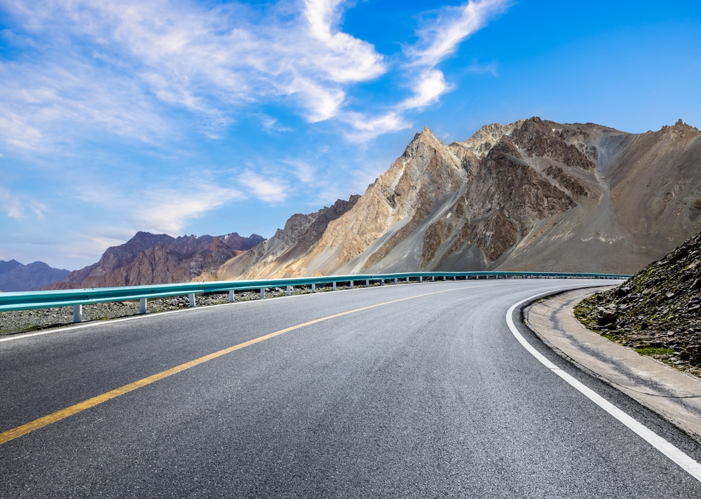
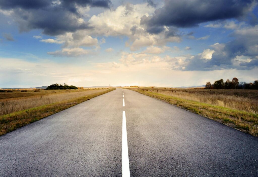
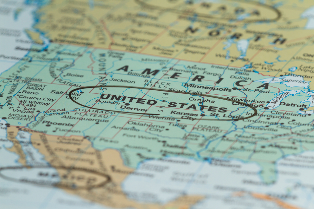
For anyone who has ever compared maps of the United States and the United Kingdom, the contrast is striking. American highways often stretch in long, ruler-like lines that cut across states and landscapes with almost geometric precision. British roads, on the other hand, seem to twist and curve endlessly, weaving through towns and countryside like tangled threads.
Contents
show
At first glance, it may seem like this difference comes down to driving habits or modern engineering preferences. But the real explanation goes far deeper. The shapes of roads in both countries are rooted in centuries of history, geography, and the way land itself was organized long before cars even existed.
Many people discovering this contrast online have been surprised to learn that the roads we drive on today are, in many cases, reflections of decisions made hundreds of years ago. In fact, the difference between straight American highways and winding British lanes tells a much larger story about settlement patterns, transportation history, and the evolution of infrastructure.
A Tale of Two Landscapes
One of the biggest reasons roads in the United States appear so straight is geography. Large portions of the country, particularly in the Midwest and Great Plains, consist of vast stretches of relatively flat land. When engineers began building roads across these regions, they were not forced to navigate dense ancient settlements or complicated terrain. Instead, they had the freedom to create direct routes across open space.
In contrast, the landscape of the United Kingdom is far older in terms of settlement and infrastructure. Towns, villages, and farmland boundaries had already been established long before modern road planning took shape. Roads were not built first and settlements later. Instead, they were gradually adapted from paths that had existed for generations.
Many British roads follow natural features such as hills, rivers, and ancient property lines. Rather than cutting straight through the countryside, these routes often bend around obstacles or follow terrain that made travel easier for people on foot or horseback centuries ago.
The difference in terrain also plays a role. Britain contains more varied landscapes in a relatively small area, including hills, valleys, rivers, and historic farmland. Roads frequently had to navigate these features rather than flattening them. In the United States, especially in newly settled regions, planners had the option to create long uninterrupted routes.
The Grid System That Shaped America
Another key factor behind America’s straight roads dates back to the late eighteenth century. In 1785, the young United States government introduced a surveying method that would permanently shape the country’s infrastructure. Known as the Public Land Survey System, it divided large areas of land into precise square sections.
Under this system, land was organized into townships measuring six miles by six miles. Each township was then divided into smaller one mile square sections. These boundaries created a massive grid that stretched across huge portions of the country, particularly throughout the Midwest.
Because property lines were already laid out as straight lines, it was both practical and economical for engineers to build roads along those borders. Roads naturally followed the grid, connecting farms, towns, and cities along neat right angles.
Over time, this approach produced road networks that resemble graph paper when viewed from above. Long rural highways often run straight for miles before meeting another road at a perfect ninety degree intersection.
This grid-based planning was not just about convenience. It was designed to make land ownership easier to manage and sell in a rapidly expanding nation. As settlers moved westward, the grid allowed new communities to develop quickly with clear boundaries and predictable road access.
Roads Built Before Cars Existed
The United Kingdom tells a very different story. Many roads that drivers use today began as simple paths used by travelers centuries ago.
Before automobiles, people traveled primarily on foot, horseback, or by carriage. Paths emerged naturally as people followed the most practical routes between villages, markets, and farmland. These routes often curved along ridges to avoid muddy valleys or followed riverbanks that provided reliable navigation.
Some British roads can trace their origins back even further to Roman Britain. Roman engineers built an extensive network of roads across the island nearly two thousand years ago. While Roman roads were often relatively straight, later development layered additional routes on top of older paths, producing the irregular network seen today.
Over the centuries, these routes were gradually widened, paved, and improved. However, they were rarely rebuilt from scratch. Instead, they followed the paths that already existed.
As towns grew and new buildings appeared, roads had to adapt to the structures already in place. Instead of demolishing entire neighborhoods to create straight highways, roads curved around existing homes, churches, and marketplaces.
This organic evolution is one of the main reasons British road maps look so different from American ones. The network developed slowly, shaped by centuries of human activity rather than by a single centralized planning system.
The Influence of Early Transportation
Transportation technology also influenced how roads developed in both countries. In early America, wagons were the primary mode of long distance land travel. One of the most famous examples was the Conestoga wagon, a large freight vehicle used in the eighteenth century.
Drivers typically sat on the left side of these wagons and controlled the reins with their left hand while using a whip in the right hand. This positioning made it easier to judge distance when passing other wagons if traffic stayed to the right side of the road. Over time, right side travel became standard practice in the United States.
Meanwhile, in Britain and many of its former colonies, traffic developed around a left side system. Some historians believe this custom dates back to horseback travel. Riders kept to the left side of paths so their dominant right hand could remain free to defend themselves if needed.
By the eighteenth century, this practice had become widely recognized. In busy areas such as London Bridge, keeping to a particular side helped manage crowds and reduce accidents. As carriages and later automobiles appeared, the left side tradition remained firmly in place.
These choices influenced the layout of roads as well as the way traffic flowed through them. In Britain, roundabouts became a common solution for managing intersections in older road networks where straight crossings were not always possible.
In the United States, where grid systems dominated, intersections were typically built as right angle crossings controlled by stop signs or traffic lights.
Why American Roads Tend to Be Wider and Faster

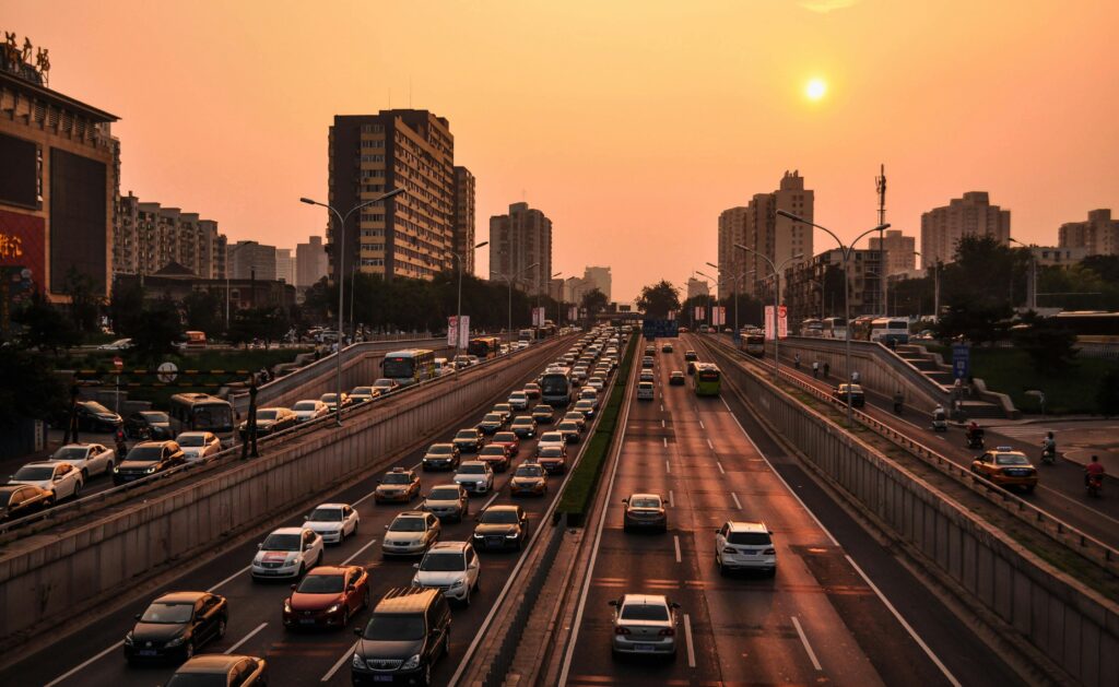
Another difference between the two countries lies in the purpose of many major roads. In the United States, roads were often designed to connect distant regions across large territories. Long straight highways made it easier for vehicles to travel at higher speeds while covering great distances.
During the twentieth century, the development of the Interstate Highway System further reinforced this design philosophy. Highways were engineered for efficiency, safety, and speed, often cutting directly through landscapes to create the shortest possible route between cities.
Wide lanes and multiple carriageways became common features. Some American highways include an extraordinary number of lanes. The Katy Freeway in Texas, for example, is widely considered one of the widest highways in the world, with dozens of lanes designed to accommodate heavy traffic.
In Britain, road development followed a different path. The country’s smaller size and long established towns meant that highways often had to fit within existing spaces. Expanding roads was not always possible without major disruption to communities or historic landmarks.
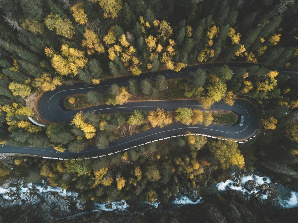
As a result, many British roads remain narrower and more winding than their American counterparts. Instead of long straight corridors, drivers frequently encounter curves, roundabouts, and complex junctions.
A Road Network Shaped by Centuries

The contrast between American and British roads ultimately reflects the different stages of development in each country.
The United Kingdom has been continuously settled for thousands of years. Roads developed gradually as people moved between villages, farms, and trading centers. Each generation adapted the network slightly, but rarely replaced it entirely.
In the United States, large areas were mapped and organized long before they were heavily populated. This allowed planners to design transportation routes with future growth in mind. Straight roads and grid systems made it easier to build towns, distribute land, and connect distant regions.
Even today, these historical decisions continue to shape how people travel. Modern vehicles, GPS navigation, and high speed highways may seem like symbols of the present, but the roads beneath them often follow patterns established centuries ago.
Driving Culture and Infrastructure Differences
Road design also influences driving culture. In the United States, wide multi lane highways encourage steady high speed travel over long distances. Road trips between cities can involve hundreds of miles of straight highway with minimal curves.
British driving often requires a different approach. Narrow roads and frequent bends demand greater attention to changing conditions. Drivers regularly encounter roundabouts, tight turns, and older road layouts that reflect the historic development of towns.
Urban design also differs. Many American cities were built using grid patterns where streets intersect at right angles. This system makes navigation relatively straightforward, with predictable blocks and numbered streets.
British cities often have irregular street patterns that evolved over centuries. Roads may branch off at unusual angles or curve unexpectedly through historic districts.
These differences can surprise travelers moving between the two countries. Someone used to straight highways in the United States may find British roads challenging at first. Likewise, drivers accustomed to winding rural lanes in Britain may be amazed by the scale and straightness of American highways.
The Legacy Visible on Modern Maps
Today, satellite imagery and digital maps have made it easier than ever to see the contrast between these road systems. From above, American road networks often appear as neat grids stretching across farmland and suburbs.
British maps reveal a far more intricate pattern. Roads curve around villages, fields, and hills in ways that reflect centuries of gradual development.
Neither system is inherently better than the other. Each represents a practical response to the conditions in which it was created.
In the United States, vast open landscapes and relatively recent settlement allowed planners to design efficient straight routes. In the United Kingdom, deep historical roots meant that roads evolved alongside communities rather than replacing them.
What the Difference Teaches Us
The contrast between American and British roads offers a fascinating reminder that infrastructure is not only about engineering. It is also about history, geography, and culture.
Roads may seem like purely practical structures designed for transportation. Yet they also preserve the story of how societies grew and adapted over time.
The straight highways that cut across American states reflect a nation that expanded rapidly across open land with the help of careful surveying and modern planning. The winding lanes of Britain reveal a landscape shaped by thousands of years of human movement, where each path carries traces of earlier generations.
Understanding this difference adds a new layer of appreciation to something most people take for granted. The next time someone notices a perfectly straight American highway or a twisting country road in Britain, they are not just looking at asphalt and paint. They are seeing the visible imprint of history on the landscape.
In many ways, the roads beneath our wheels are historical documents. They record how people traveled, settled, traded, and connected long before modern transportation existed. And that may be why so many people are fascinated when they first discover why the roads in these two countries look so different.