Your cart is currently empty!
2026 Super El Niño Could Be the Strongest in 150 Years. Here Is What That Means for the World
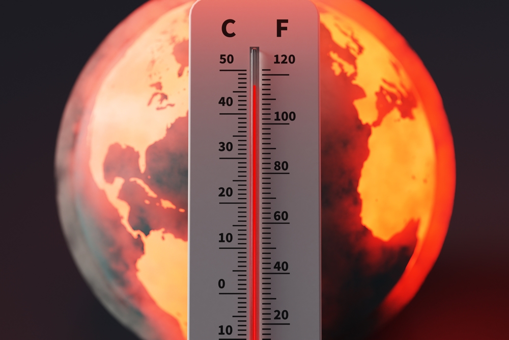
Beneath the surface of the equatorial Pacific Ocean, something is building. A vast reservoir of warm water has been pushed eastward by an extraordinary series of wind events, and meteorologists around the world have spent recent weeks watching their forecast models converge on a conclusion that, until very recently, seemed almost too dramatic to take seriously. What is taking shape may not simply be another El Niño. It may be the strongest such event in the modern instrumental record, perhaps the strongest since the 1870s, and it is arriving on a planet that has never before encountered a climate disturbance of this magnitude under conditions this warm.
Contents
show
The implications stretch from rice paddies in India to reservoirs in the American Southwest, from coral reefs in the Pacific to the Amazon’s drying margins. And yet for all the alarm in the climate community, the most striking feature of this developing event may be how much remains unknown about it.
What the Models Are Now Showing
The National Oceanic and Atmospheric Administration puts the probability of El Niño emerging by July at 61 percent, with a one-in-four chance of reaching “very strong” intensity. That threshold, defined by sea surface temperatures more than two degrees above normal in a key stretch of the central Pacific, has been crossed only three times since 1950, in 1982-83, 1997-98, and 2015-16. Each of those events upended global weather and economies in ways that took years to fully reckon with.
This time, scientists who track these phenomena most closely believe something rarer may be unfolding. Paul Roundy, a professor of atmospheric science at the University at Albany, has watched the odds shift dramatically in just a few weeks. “I would suggest there is roughly a 50 per cent chance of the event becoming the strongest in the historical record right now,” he told BBC Science Focus. A few weeks earlier, he had placed those odds at 20 percent.
The reason for the shift lies in the atmosphere itself. Powerful westerly wind bursts over the Pacific have pushed warm water eastward toward the equator with a momentum that closely parallels conditions in early 1997, which preceded what most climatologists consider the strongest El Niño of the twentieth century. According to Roundy, the warm water pool now sits roughly half a degree warmer than it did at the equivalent point in that earlier event. Forecasters caution that the spring months tend to muddy seasonal predictions, a phenomenon known as the spring predictability barrier, but the trajectory has grown difficult to dismiss.
A Phenomenon, Briefly Explained
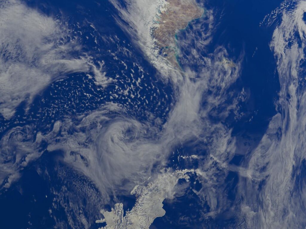
El Niño is the warm phase of a recurring oceanic cycle known as the El Niño-Southern Oscillation, or ENSO. In normal years, trade winds push warm surface waters westward across the Pacific. Every few years, those winds weaken or reverse, allowing heat to spread eastward along the equator. Sea surface temperatures climb, and the atmospheric circulation that depends on them reorganizes. Weather patterns thousands of miles away begin to shift in response.
A super El Niño simply means a far more intense version of this cycle. The label is reserved for events that push central Pacific temperatures more than two degrees above their seasonal average, a threshold that produces outsized effects on rainfall, drought, heat, and storm activity across nearly every inhabited continent.
The Global Forecast
If the current event develops as projected, its fingerprints will appear in regions that have little obvious connection to the equatorial Pacific. In the United States, summer rainfall could rise across the Midwest and West while drier conditions stretch from the Gulf Coast to the Atlantic Seaboard. As winter approaches and the event matures, the southern storm track typically strengthens, delivering heavy rain from California eastward. The northern tier of the country tends to run warmer than average.
Australia, southern Africa, India, parts of South America, and the Amazon basin face the opposite risk: heat and drought, often severe enough to reduce harvests and stress water supplies. Southeast Asian monsoons weaken. Peruvian fisheries struggle as warm surface waters disrupt the cold-water upwelling that anchovies and other species depend on. Atlantic hurricane activity tends to decline thanks to increased wind shear, while typhoons in the western Pacific often grow more intense.
A Historical Shadow

The reason climate scientists speak of this event with such concern lies partly in what happened the last time something comparable occurred. From 1876 to 1878, a super El Niño triggered the Great Drought, a famine that researchers writing in the Bulletin of the American Meteorological Society have called arguably the worst environmental disaster ever to befall humanity. Estimates published in that research put the death toll between 12.2 and 29.3 million in India, 19.5 to 30 million in China, and roughly 2 million in Brazil. Outbreaks of malaria, plague, dysentery, smallpox, and cholera ravaged populations already weakened by hunger.
Modern forecasting has changed what is possible in response. Accurate El Niño predictions, which date back to the early 1980s, allow governments, aid agencies, and farmers to anticipate the worst months in advance. Andrew Kruczkiewicz, a researcher at Columbia University’s Climate School, has worked to get usable forecast information into the hands of officials and growers in the developing world. He notes that organizations like the Red Cross and Red Crescent are already preparing to stage food supplies in regions susceptible to drought and flooding linked to the coming event.
The Economic Toll
A study published in Science in 2023 traced the financial wreckage of past super El Niños across five-year windows that followed each event. Researchers attributed $4.1 trillion in global income losses to the 1982-83 cycle and $5.7 trillion to 1997-98. The damage was not evenly distributed. Some countries, particularly those that benefit from milder winters or shifted storm tracks, came out ahead. Others, especially in the developing world, lost years of growth they would never recover.
What separates a typical El Niño from a super El Niño, in economic terms, is the breadth of overlapping disruption. Crop losses, hydropower shortfalls, fisheries collapses, and infrastructure damage from flooding and storms all tend to occur in the same window, leaving little capacity for any one sector to absorb the shock.
India’s Particular Exposure

Few countries have as much riding on the monsoon as India, where the June to September rains deliver nearly 70 percent of the annual precipitation. India’s weather office has already forecast a below-average monsoon for 2026, with the developing El Niño expected to weigh on rainfall in the second half of the season. Agriculture contributes about 18 percent of the country’s nearly four-trillion-dollar economy and employs nearly half its population of 1.5 billion.
In six of the last six El Niño years, India received below-average rains. A repeat would mean smaller harvests of rice, cotton, and soybeans, with knock-on effects for winter crops like wheat and rapeseed planted into drier soils. New Delhi may again restrict exports of farm goods, as it did during the 2023 cycle, and increase imports of palm and soybean oil. Hydropower, which supplies roughly 6 percent of India’s electricity, could also come under pressure.
A Warmer World Means a Different El Niño
What makes the 2026 event unlike its predecessors is the climate it will arrive in. Global temperatures already sit more than 1.4 degrees above pre-industrial levels, a baseline that has never coexisted with a strong El Niño in the historical record. Dr. Daniel Swain, a climate scientist at the University of California Agriculture and Natural Resources, framed the stakes plainly in a recent statement. “We’ve never experienced a strong or very strong El Niño event amid pre-existing conditions that were this warm globally,” Swain said, adding that unprecedented flood, drought, and wildfire extremes by late 2026 and into 2027 would not be surprising.
Wildfires concern him particularly. A super El Niño laid over already elevated baseline temperatures, could ignite unusually intense fires in regions that rarely burn, including the Amazon and peatlands across Oceania, where smoldering fires can persist for months. Either 2026 or 2027, Swain noted, stands a strong chance of setting a new global temperature record.
Lasting Imprints on the Climate System
A study published in Nature Communications in December 2025 examined whether super El Niños do more than disrupt a single year’s weather. Researchers led by Aoyun Xue analyzed all three modern super El Niños alongside climate model simulations and found that events of this intensity significantly raise the likelihood of what they call climate regime shifts, abrupt and persistent transitions in temperature, sea surface conditions, and soil moisture that can endure for years or even decades after the El Niño itself has faded.
Hotspots identified in the research include the central North Pacific, the Gulf of Mexico, East Africa, the Amazon, central Australia, and the Maritime Continent surrounding Indonesia. Under continued global warming, the authors found, this regime-shifting effect would be greatly amplified. The implication is unsettling: some of the changes set in motion during a 2026 super El Niño may not simply reverse when Pacific temperatures cool again.
Roundy urged caution about leaning too heavily on that conclusion, given that only three super El Niños have been studied in modern detail. Drawing decades of climate trajectory from such a small sample, he argued, demands humility.
What Preparation Looks Like Now, and What It Could Look Like
Better forecasts have changed the math of response. Aid groups can move food and medicine before crises peak. Farmers can plant differently. Insurers and energy companies can hedge against expected swings. But the global aid infrastructure that has historically anchored response in the developing world has weakened. Nathan Lenssen, a scientist at the NSF National Center for Atmospheric Research and the Colorado School of Mines, warned that recent cuts to United States foreign aid, including the dismantling of USAID, may complicate access to and distribution of food and medicine in the wake of El Niño-driven disasters. USAID, he noted, has been central to supporting populations before, during, and after climate-driven famines for decades.
The Open Question
The hard truth is that scientists cannot yet say with confidence how powerful this event will become or how its effects will unfold across regions and seasons. “Climate change has made El Niño events of the past less informative for events today,” said Lenssen, capturing a sentiment that runs through nearly every conversation about the developing event.
What forecasters can say is that the ingredients have aligned in a way they have not aligned in living memory, that a planet running hotter than at any point in the post-industrial era is about to absorb a shock from the most powerful climate cycle nature produces, and that the next eighteen months will test the limits of how much disruption modern systems can manage. The Pacific has stirred before. This time, it may be saying something we have not heard in 150 years.