
Your cart is currently empty!
NOAA Warns Super El Niño Could Bring Extreme Weather Across America
A powerful shift in the Pacific Ocean could shape America’s weather in ways forecasters have rarely seen before. NOAA now believes there is a strong possibility that the developing El Niño could reach an intensity beyond anything in the modern record.
Contents
show
That does not mean every forecast impact will happen exactly as predicted. But the changing odds have put flooding, heavy rain, unusual warmth, drought, and significant snow firmly on the map for the months ahead.
NOAA Detects an Unusual Signal in the Pacific
On August 13, NOAA’s Climate Prediction Center released its latest assessment of conditions in the tropical Pacific Ocean. The update contained a projection that immediately stood out: this may become more than simply another strong El Niño.
Michelle L’Heureux, a physical scientist at the Climate Prediction Center, has spent years studying these patterns.
The latest projections suggest the Pacific could be moving toward an intensity with no direct equivalent in the modern observational record.
Seasonal outlooks are built around probabilities rather than guarantees. Even so, the numbers in this forecast have become strong enough to draw attention to what the coming fall and winter could bring.
How El Niño Can Change the Weather
In typical conditions, trade winds push warm surface water across the Pacific toward Indonesia. During El Niño, those winds weaken and warm water spreads back toward the eastern Pacific.
That movement can alter atmospheric circulation and influence the jet stream. Because the jet stream helps steer storms across North America, changes in the Pacific can eventually affect where rain, snow, and warmer conditions develop.
An El Niño is considered especially powerful when tropical Pacific sea surface temperatures remain at least 2 degrees Celsius above normal for several months. According to the source material, the current event already ranked as the second strongest for this point in the calendar, behind the famous 1997 event.
The Numbers Could Enter Uncharted Territory
NOAA is using the Relative Oceanic Niño Index, or RONI, to measure the event’s strength. The index examines three-month temperature averages in the central Pacific and adjusts for warming across the broader tropical ocean.
That adjustment helps account for the fact that the world’s oceans are warming overall. Without it, a warmer global baseline could make ordinary variations appear stronger than they actually are.
The highest three-month RONI value since 1950 was 2.4 during the 1982 and 1983 event. The 1997 event reached 2.3, while the 2015 event reached 2.2.
NOAA’s August forecast placed the median projection for October through December at 2.66. If that estimate proves accurate, it would exceed every previous value in the modern record.
The Climate Prediction Center placed a 69% chance on this El Niño surpassing previous events. It also put the probability of very strong conditions across the fall and winter above 90%.
Four States Are Being Watched for Snow
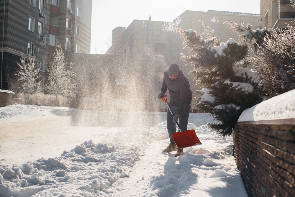
California, New Hampshire, New York, and Vermont were highlighted in connection with the potential for significant snow. That forecast should not be confused with a claim that these are simply the four states facing the greatest overall risk.
California’s snow potential is focused heavily on the Sierra Nevada, where powerful winter storms can produce major accumulations at higher elevations. In the Northeast, New Hampshire, New York, and Vermont could also see significant snowfall if temperatures and storm tracks align.
Several factors could determine whether a powerful storm produces snow or rain:
- Elevation: Higher terrain is more likely to experience snow during a wet winter storm.
- Temperature: Small changes can determine whether precipitation falls as rain or snow.
- Storm tracks: Seasonal patterns affect the odds, but individual storms still follow different paths.
- Timing: A wet period can produce very different conditions depending on when cold air arrives.
The differences can be dramatic even within the same state. A storm that buries a Sierra mountain pass could produce heavy rain in nearby valleys.
The Gulf Coast Faces a Serious Flood Threat
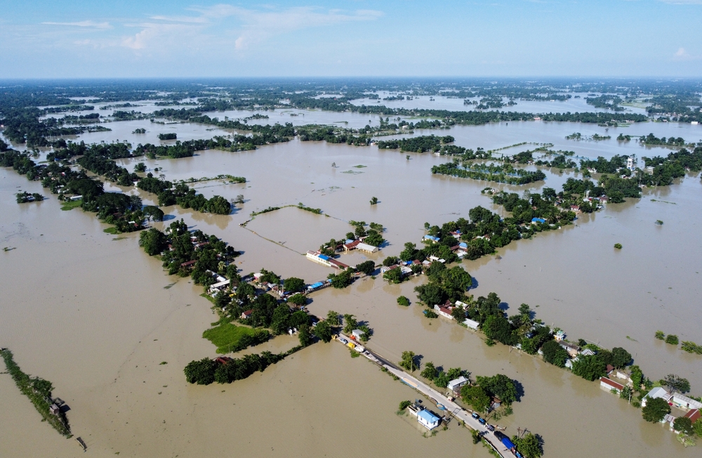
NOAA’s strongest confidence for above-normal precipitation is focused on the Gulf States and parts of the Southeast through the Mid-Atlantic. That is where the forecast becomes particularly concerning for communities already familiar with severe storms and flooding.
Johanna Infanti, a meteorologist at the Climate Prediction Center, said, “The highest probabilities for above-normal precipitation are over the Gulf States and parts of the Southeast to Mid-Atlantic, indicating the areas where we have the most confidence.”
National Weather Service duty officer Mark Wiley described the potential consequences in comments to Newsweek. He said, “The risk of flash flooding and river flooding would increase along with the threat for severe weather to include a higher probability of tornadoes with the highest risk area generally being across the Deep South, the Gulf Coast into Florida.”
Heavy precipitation does not necessarily mean constant rain for months. The danger increases when repeated storms hit already saturated ground or when intense rainfall overwhelms rivers and drainage systems.
California Could Get Relief and New Problems
California’s outlook presents both opportunity and danger. More precipitation could help replenish water supplies, but powerful storms can also bring flooding, landslides, dangerous travel conditions, and rapidly rising rivers.
According to the source material, coastal California and adjacent southern Arizona have better-than-even odds of above-normal precipitation during the heart of winter. Previous major El Niño periods, including 1997 and 1998, brought exceptional precipitation to parts of the state.
Past events offer useful comparisons, but they do not guarantee a repeat. Every El Niño develops alongside other weather and climate patterns that can change how its effects appear locally.
Other Parts of the West Could Turn Warmer and Drier
The forecast does not point toward increased precipitation everywhere. The source indicates that western Washington and Oregon could have a 60% to 70% probability of above-normal warmth from October through February.
Parts of Montana and Idaho appear in one of the drier areas of the seasonal outlook. The contrast shows how one major Pacific pattern can create completely different concerns across the same country.
Some communities may prepare for excessive water while others watch drought conditions and declining snowpack. Seasonal climate patterns can shift the odds, but they cannot determine the exact weather every town will experience.
Michelle L’Heureux addressed that uncertainty directly, saying that “even if this ends up being a historic El Nino, there will be impacts in some locations that do not align with the expected El Nino impact.” Her warning reinforces the difference between a seasonal outlook and a day-by-day weather forecast.
The Effects Could Spread Around the World
El Niño can influence far more than American weather. Warmer ocean temperatures can also contribute to higher global temperatures, particularly when they combine with the broader warming already affecting the climate system.
Jon Gottschalck, chief of the operational prediction branch at the Climate Prediction Center, said, “Warmer ocean temperatures associated with El Nino, together with its tendency to favor warmer conditions in many areas, often contribute to warmer than normal global annual temperatures.”
According to the source, NOAA placed a 99.9% probability on 2026 finishing among the five warmest years ever measured. The same source reports that the event has a 97% chance of continuing into early spring 2027.
Elsewhere, the consequences could involve too little water rather than too much. Early outlooks cited in the source point toward increased drought and bushfire concerns in Australia, along with a delayed monsoon across parts of Southeast Asia.
Five Months of Warning Could Make a Difference
The Climate Prediction Center cannot control what the Pacific Ocean does. Its job is to detect major changes early enough for communities, emergency agencies, and infrastructure managers to prepare for what could follow.
That preparation can include checking flood response plans, reassessing water management, improving drainage, and addressing vulnerable roofs or properties before severe weather arrives. The forecast does not promise disaster, but it provides information that could help reduce the damage if the predicted patterns develop.
A winter influenced by an exceptionally powerful El Niño will eventually be measured in rainfall, snow totals, flooding, and the disruption experienced by real communities. NOAA’s warning provides time to prepare, and that may be the most valuable part of the forecast.