Your cart is currently empty!
Africa Is Slowly Splitting in Two as the East African Rift Creates a Future Ocean

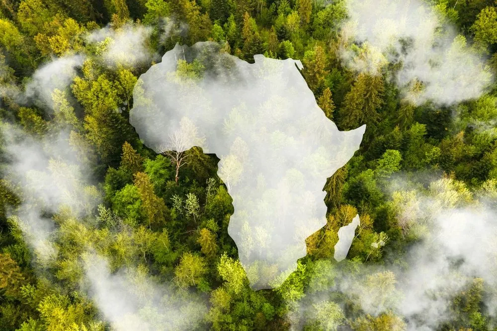
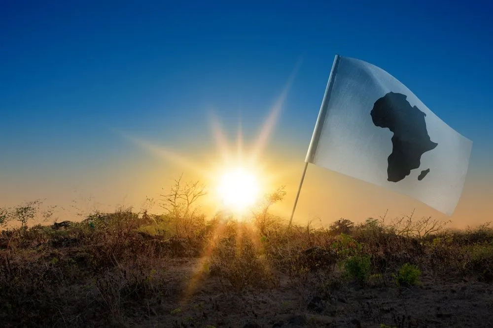
Africa is often described as the cradle of humanity, a continent whose landscapes have supported civilizations, wildlife, and complex ecosystems for millions of years. From sweeping deserts to dense rainforests and fertile highlands, it appears timeless and immovable. Yet far below the surface, powerful geological forces are quietly reshaping the land. Scientists say Africa is undergoing a slow but dramatic transformation that could eventually divide the continent into two separate landmasses, forming an entirely new ocean basin in the process. This change is not sudden or catastrophic, but rather a patient unfolding of Earth’s natural mechanics that has been happening for millions of years and will continue long after modern societies have changed or disappeared.
Contents
show
What makes this process so striking is that it is happening now, within a timeframe that scientists can actively study rather than reconstruct solely from ancient rock records. New interpretations of older geological data are giving researchers clearer insight into how Africa’s crust is stretching and thinning beneath the East African Rift system. According to geologists, the continent is being pulled apart in a slow, persistent motion that has been compared to “the zip on a jacket,” gradually opening from the northeast toward the south. While the final result lies five to ten million years in the future, the forces responsible are already shaping landscapes, influencing volcanic activity, and subtly altering the region’s geological identity.
A Continent Shaped by Constant Motion
The idea of Africa splitting in two may feel unsettling, but from a geological perspective, it is part of a much larger and familiar pattern. Earth’s continents have never been fixed in place. Over billions of years, landmasses have collided, broken apart, and drifted across the planet’s surface, forming new oceans and mountain ranges while closing others. Africa itself has been assembled and reassembled multiple times throughout deep history.
This movement is explained by the theory of plate tectonics, which describes how Earth’s outer shell is divided into massive plates that float atop the semi-molten mantle below. These plates move extremely slowly, often just millimetres per year, but their cumulative motion reshapes the planet over geological time. Oceans open where plates pull apart, and continents fracture when the stress becomes too great for the crust to hold together.
Africa’s current transformation is one of the clearest modern examples of continental breakup in progress. Unlike ancient splits that must be inferred from fossil records and rock formations, this one can be measured, monitored, and studied using modern scientific tools, offering a rare window into how new oceans are born.
The Vast Scale of the East African Rift
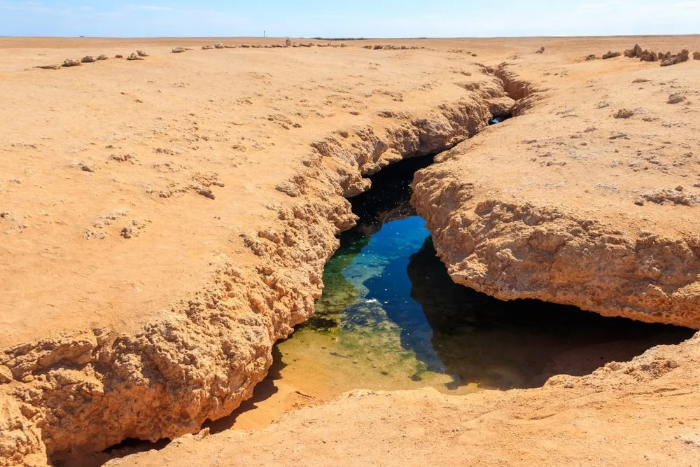
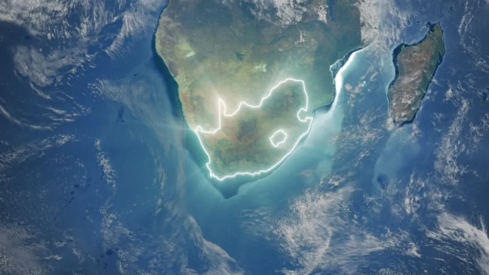
At the centre of Africa’s gradual separation lies the East African Rift, a massive tectonic feature stretching roughly 4,000 miles from Jordan in the Middle East down through eastern Africa to Mozambique. This rift marks a zone where the continental crust is weakening and pulling apart. On average, it spans 30 to 40 miles in width, cutting through deserts, highlands, and populated regions.
The rift is not a single crack but a complex system of fractures, faults, and volcanic zones. As the crust stretches, it becomes thinner, allowing magma from below to rise closer to the surface. This process fuels frequent volcanic activity and earthquakes across the region, making the rift one of the most geologically active areas on the continent.
Over millions of years, this stretching is expected to deepen and widen the rift valley, eventually cutting through major lakes such as Lake Malawi and Lake Turkana. As the land sinks and separates further, seawater is expected to flood in, beginning the slow creation of a new ocean basin.
The Zipper-Like Split Across Africa
Scientists often describe Africa’s separation using a vivid comparison. The tearing motion progresses from northeast to south, much like “the zip on a jacket,” gradually opening the continent along the rift line. This imagery reflects how the process is not uniform but advances step by step along weak points in the crust.
If the rifting continues to its eventual conclusion, Africa will be divided into two distinct landmasses. The larger western portion would contain countries such as Egypt, Algeria, Nigeria, Ghana, and Namibia. The eastern landmass would include Somalia, Kenya, Tanzania, Mozambique, and a significant portion of Ethiopia.
Between these two regions, new oceanic crust would form as magma rises, cools, and solidifies. This is the same process that created oceans like the Atlantic, which began as a continental rift before expanding into a vast body of water over tens of millions of years.
Why the Afar Region Matters Most
One of the most scientifically important locations in this transformation is the Afar region, where the Red Sea meets the Gulf of Aden. This area is unique because three major rift systems converge there, forming what geologists call a triple junction. These include the Main Ethiopian Rift, the Red Sea Rift, and the Gulf of Aden Rift.
Triple junctions are rare and valuable to scientists because they reveal how continental crust begins to transition into oceanic crust. In Afar, the crust is exceptionally thin, volcanic activity is intense, and deep fractures are clearly visible, making it one of the few places on Earth where the earliest stages of continental breakup can be directly observed.
Researchers consider Afar to be a preview of Africa’s geological future. The conditions seen there today are similar to those that existed in other parts of the world just before new oceans began to form, offering insight into how Africa’s eventual split may unfold.
Old Magnetic Data Reveals New Evidence
To better understand the mechanics of Africa’s separation, scientists revisited magnetic data collected during airborne surveys conducted in 1968 and 1969. These surveys recorded subtle variations in Earth’s magnetic field preserved in the rocks below, data that had remained largely underexamined for decades.
Using modern analytical techniques, researchers reinterpreted these measurements and discovered clear magnetic patterns linked to ancient reversals of Earth’s magnetic field. These patterns act like geological time markers, allowing scientists to trace the movement of tectonic plates and identify areas of seafloor spreading.
In the Afar region, the magnetic signals provide strong evidence that seafloor spreading between Africa and Arabia began tens of millions of years ago. The research team concluded, “With this publication, the magnetic data from the 1968 Afar Survey has been resurrected, we hope, from an undeserved obscurity.”
How Fast the Continent is Actually Moving
Despite the dramatic outcome, the pace of Africa’s split is extremely slow. According to Dr Emma Watts, a geochemist at Swansea University, movement in the northern segment of the rift is occurring at a rate of approximately 5 to 16 millimetres per year.
“Regarding timescales, this process of Africa being torn apart will take several million years before it is completed,” Dr Watts previously told the Daily Mail. At this speed, decades are required for changes that measure only a few centimetres, and millions of years are needed for an ocean basin to fully form.
Scientists estimate the complete separation of Africa will occur within five to ten million years. While this timeframe feels incomprehensibly distant to humans, it is relatively rapid when viewed through the lens of Earth’s geological history.

What This Means for People and the Environment
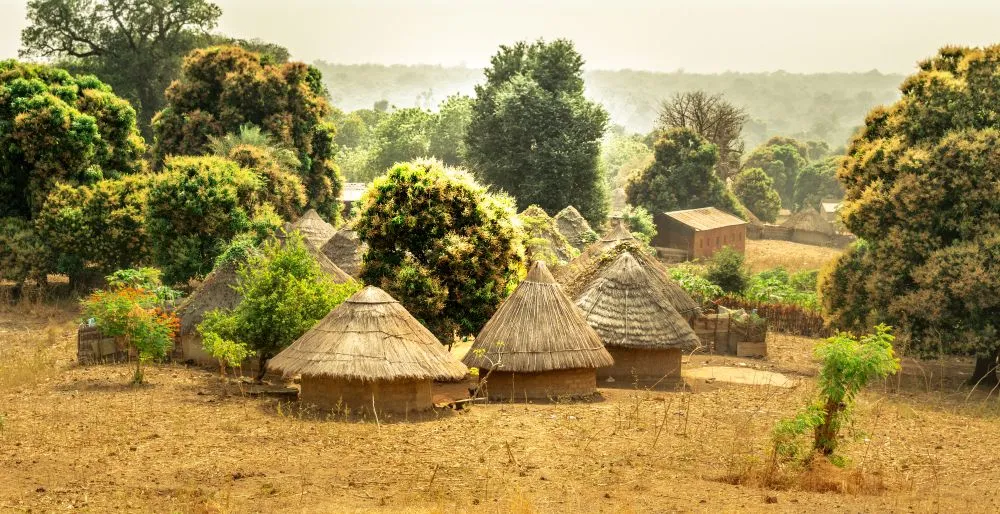
For people living along the East African Rift today, the continental split will not directly affect daily life in the near future. However, the region’s geology already plays a significant role in shaping environmental and economic conditions.
Volcanic activity enriches soils with minerals, supporting agriculture in parts of East Africa. The rift also offers vast potential for geothermal energy, which countries such as Kenya and Ethiopia are already harnessing as a renewable power source. At the same time, seismic activity poses risks that require careful planning and monitoring.
Understanding the rift is therefore essential not only for scientific curiosity but also for sustainable development, disaster preparedness, and long-term environmental planning across the region.
A Planet That Never Stops Changing
Researchers involved in the study emphasize that Africa’s gradual transformation is a reminder that Earth is constantly evolving. Professor Peter Styles of Keele University described the findings by saying, “These findings give a unique perspective on how our planet is constantly changing and shifting right beneath our feet.”
By reanalyzing decades old data with modern tools, scientists are gaining clearer insight into the earliest stages of continental breakup and ocean formation. This knowledge helps explain how past landscapes were shaped and how future ones will emerge.
While no human will witness Africa’s final split, the forces driving it are active today. The East African Rift stands as a quiet but powerful example of Earth’s restless nature, showing that even the most ancient continents are temporary features in a planet that is always in motion.