Your cart is currently empty!
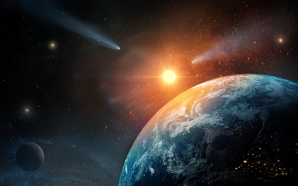
Australia Is Moving North Faster Than Any Other Continent
Seven centimeters. That is roughly the rate your fingernails grow in a year. It is also the speed at which an entire continent is drifting across the surface of the Earth.
Contents
show
Australia is officially the fastest moving land mass on the planet, sliding north at about seven centimeters every single year. It sounds small, almost insignificant. But when that movement is multiplied across decades, centuries, and eventually millions of years, it becomes one of the most extraordinary long term stories unfolding beneath our feet.
According to multiple studies, that slow and steady drift is not just a geological curiosity. It is part of a much bigger process that could one day close the Pacific Ocean and form a brand new supercontinent known as Amasia. The timeline stretches 200 to 300 million years into the future. Still, the forces behind it are active right now.
Australia Is Drifting Faster Than Any Other Continent
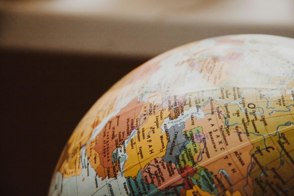
Australia sits on the Indo-Australian Plate, one of the most dynamic tectonic plates on Earth. While continents such as North America move roughly 2.5 centimeters per year, and Antarctica and Africa shift between 1.5 and 2.5 centimeters annually, Australia is racing ahead at nearly three times that speed.
Seven centimeters per year might not feel dramatic. Yet between 1994 and 2017, Australia moved approximately 1.6 meters to the northeast. That was not theoretical. It was measurable.
In fact, the movement created a practical problem.
Australia’s national GPS coordinates had not been updated since 1994. By 2017, the continent had physically shifted so much that digital maps were out of alignment by more than a meter and a half. For everyday navigation, that might not seem critical. For precision industries such as surveying, aviation, agriculture technology, and autonomous systems, it mattered a great deal.
On January 1, 2017, Australia effectively changed its official position. The government updated the entire national coordinate system, shifting it 1.8 meters north to realign with global positioning systems. It was the first correction in 23 years. The update slightly overcorrected so that by 2020, the coordinates would match perfectly with satellite data. A new dynamic system was then introduced to continuously account for ongoing continental drift.
It is rare that we can say a country physically moved. But in this case, it did.
The Science Beneath Our Feet

To understand why Australia is moving so quickly, we have to zoom out far beyond national borders.
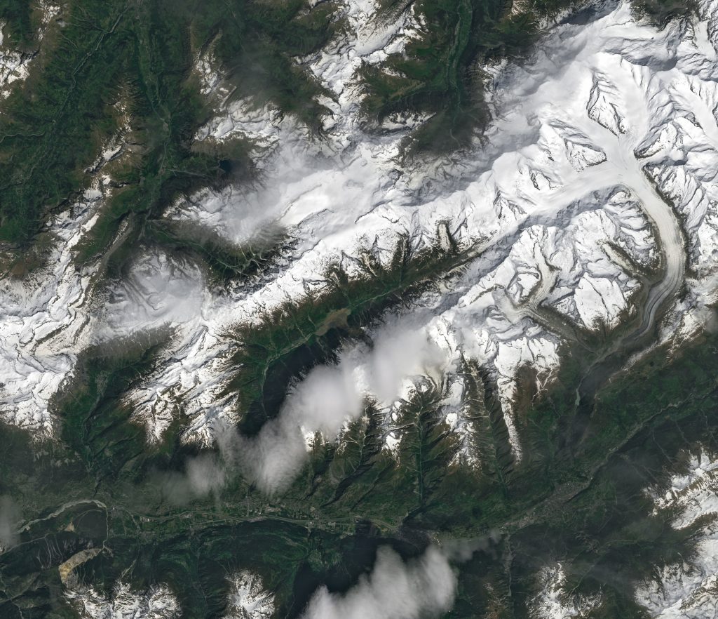
Earth’s outer shell is not a single unbroken surface. It is divided into enormous slabs of rock called tectonic plates. These plates float atop a softer, semi-molten layer known as the mantle. Heat rising from deep within the planet drives slow convection currents, which in turn nudge the plates along like pieces of a giant jigsaw puzzle.
Where plates meet, they interact in different ways:
- Convergent boundaries, where plates collide.
- Divergent boundaries, where plates pull apart.
- Transform boundaries, where plates slide past one another.
The Indo-Australian Plate is moving northeast because it is being pushed and pulled by forces at its boundaries. To the north, it is gradually colliding with Southeast Asia. To the east lies the vast Pacific basin, where complex subduction zones are actively reshaping the ocean floor.
Every year, a few centimeters of the Pacific Plate are forced beneath neighboring plates in a process known as subduction. This is especially visible around the so called Ring of Fire, where frequent earthquakes and volcanic eruptions mark intense tectonic activity.
Australia’s movement is part of this broader pattern. It is not drifting randomly. It is being guided by powerful geological forces that have been shaping Earth for billions of years.
The Pacific Ocean Is Slowly Disappearing

At first glance, the Pacific Ocean appears endless. It spans roughly 10,000 kilometers at its widest point and covers more surface area than all the world’s land combined. Yet scientists say it is shrinking.
The Pacific is actually the remnant of an ancient superocean called Panthalassa, which began forming around 700 million years ago when an earlier supercontinent broke apart. Since the time of the dinosaurs, the Pacific has been gradually contracting.
Recent research published in the journal National Science Review suggests that this contraction is not temporary. Using advanced supercomputer simulations, researchers from Curtin University in Australia and Peking University in China modeled how tectonic plates may evolve over hundreds of millions of years.
Their findings indicate that the Pacific Ocean is likely to close entirely within 200 to 300 million years. As subduction continues around its edges, the basin shrinks. Unlike younger oceans such as the Atlantic or Indian, the Pacific’s oceanic crust is older and denser, making it more susceptible to being pulled downward into the mantle.
Dr Chuan Huang, one of the lead researchers, explained that over the past two billion years, Earth’s continents have collided roughly every 600 million years in what scientists call the supercontinent cycle. Based on that rhythm, the present arrangement of continents is due to come together again.
If the Pacific closes, something extraordinary would happen.
Meet Amasia, The Next Supercontinent
The proposed future landmass has already been given a name: Amasia.
Amasia would form when the Americas collide with Asia after the Pacific Ocean disappears. Australia is expected to play a key bridging role, first colliding with Asia and later helping connect the merging continents.
Computer simulations suggest this could occur in roughly 250 million years. Some earlier models proposed alternative scenarios, such as the Atlantic Ocean closing instead. However, the latest modeling indicates that the Pacific is the more likely candidate to vanish.
The concept of Amasia is not new, but the tools used to explore it are more sophisticated than ever. By simulating plate movements on powerful supercomputers, researchers can test how variations in oceanic crust strength and mantle dynamics influence long term outcomes.
If Amasia forms, the global map would look unrecognizable.
North America could be pressed against eastern Asia. South America might fuse into the same northern cluster. Australia would no longer be an island continent. Instead, it could become deeply embedded within a giant continental interior.
Sea levels are predicted to be lower. Vast inland regions could become extremely arid, with dramatic daily temperature swings between scorching days and freezing nights. Biodiversity patterns would shift. Ocean circulation would change. Climate systems would reorganize.
Professor Zheng Xiang Li, a co-author of the research, has suggested that a single dominant landmass would dramatically alter Earth’s ecosystems. The interior of such a supercontinent could resemble today’s largest deserts, only on a much grander scale.
We Have Been Here Before
While Amasia sounds like science fiction, supercontinents are not theoretical. They are part of Earth’s deep past.
Around 335 million years ago, nearly all of Earth’s land was joined together in a supercontinent known as Pangea. Dinosaurs once roamed across landscapes that today are separated by thousands of kilometers of ocean.
Before Pangea, there were other supercontinents. The geological record suggests a repeating cycle of assembly and breakup spanning billions of years. Continents merge, remain together for a time, then fracture apart as tectonic forces reorganize the surface.
This cyclical behavior is known as the supercontinent cycle. On average, it appears to operate on roughly 600 million year intervals, though the timing is not exact.
If that pattern holds, the current arrangement of seven continents is only temporary.
Alternative models have imagined different futures. Some scientists have proposed Pangaea Proxima, in which the Atlantic Ocean eventually closes and the continents reunite in a configuration somewhat similar to the ancient Pangea. Others have described Novopangaea or Aurica as possible outcomes, depending on which ocean basins expand or contract.
However, the latest modeling from Curtin University leans toward the Pacific closure scenario, placing Amasia as the most plausible next chapter in Earth’s tectonic story.
How Certain Is This Prediction
Projecting 200 million years into the future is an extraordinary scientific challenge.
Paleogeologist Ronald Blakey has cautioned that while plate movements over the next 50 to 100 million years can be estimated with some confidence, predictions beyond that become increasingly speculative. The geological record is full of unexpected shifts, sudden reorganizations, and complex feedback mechanisms.
Tectonic plates do not always behave in simple, linear ways. Changes in mantle convection, variations in crustal thickness, and even large scale volcanic events can alter trajectories.
The recent Amasia simulations take into account factors such as the cooling of Earth’s interior over billions of years. As the planet cools, oceanic lithosphere becomes thicker and stronger, influencing how easily it can subduct.
While the precise details of Amasia’s formation may evolve with new data, the underlying concept that continents periodically reunite remains well supported by geological evidence.
In other words, the map will change. The only question is how.
What Australia’s Movement Means Right Now

It is tempting to dismiss a 250 million year forecast as irrelevant to modern life. Yet Australia’s drift has already had measurable consequences.
The 2017 coordinate correction demonstrated that continental motion is not abstract. It affects satellite navigation, infrastructure planning, and scientific measurement. Precision agriculture, mining operations, and autonomous vehicles all rely on accurate geospatial data.
Beyond technology, Australia’s northward journey also shapes seismic risk and long term landscape evolution. As the continent inches closer to Southeast Asia, tectonic interactions may intensify over geological timescales.
On human timescales, seven centimeters per year adds up to about seven meters per century. In a thousand years, that becomes seventy meters. Even within recorded history, continents have shifted in ways that subtly influence coastlines, river systems, and earthquake patterns.
We often think of continents as permanent fixtures. In reality, they are travelers.
A Planet In Motion

The idea that oceans can vanish and continents can collide challenges our sense of permanence.
The Pacific Ocean is the oldest ocean basin on Earth. It has existed in some form for hundreds of millions of years. Yet in geological terms, even oceans have lifespans.
If the Pacific closes and Amasia forms, Earth’s surface will undergo one of the most dramatic reorganizations imaginable. Weather systems would adapt. Marine life would evolve in new patterns. Entire mountain ranges would rise where ocean once existed.
The process would unfold slowly, almost imperceptibly from generation to generation. No human civilization is likely to witness even a fraction of it. And yet it is happening now.
Every year, as Australia creeps north by another seven centimeters, it contributes to a story that stretches far beyond our lifetimes.
Reflecting On Deep Time
There is something humbling about continental drift.
Human history spans only a few thousand years. Written records cover even less. Compared to a 600 million year tectonic cycle, our civilizations are brief flashes.
Yet through science, modeling, and careful measurement, we can glimpse chapters of Earth’s future long before they unfold.
Australia’s steady movement is a reminder that stability is often an illusion. The ground beneath us is dynamic. Oceans expand and contract. Mountains rise and erode. Supercontinents assemble and fracture apart.
It also offers perspective. In a world preoccupied with daily headlines, economic cycles, and political shifts, the slow choreography of tectonic plates reminds us that we inhabit a planet shaped by forces far older and larger than ourselves.
Seven centimeters per year may not feel dramatic. But over millions of years, it can close an ocean.
The next time you glance at a map, consider this: the borders you see are temporary. The oceans are not fixed. And somewhere beneath the Pacific, plates are grinding together, quietly preparing the planet for its next great transformation.
Australia is on the move. It has been for millions of years. And if the models are correct, it is heading toward a future where the world’s continents unite once again in a single vast landmass called Amasia.
We may never see that world. But we are living in the early stages of its creation.