
Your cart is currently empty!
Scientists Discover 16 Mysterious Shapes Buried Beneath Mars That Could Reveal Its Ancient Climate
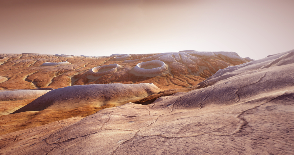
More than 100 feet beneath the dusty surface of Mars, scientists have discovered something that could change how we understand the Red Planet’s ancient past. China’s Zhurong rover detected 16 polygon-shaped structures hidden beneath Utopia Planitia, a vast Martian basin where the ground appears to hold clues to a very different world. The formations cannot be seen from the surface, but radar measurements have revealed a buried landscape that may have been shaped by freezing temperatures, moisture, and dramatic environmental changes billions of years ago.
Contents
show
The discovery has raised an intriguing possibility about Mars’s climate history. If the structures formed through repeated freezing and thawing, parts of the planet that are relatively far from the poles may once have experienced conditions capable of producing ice-related geological changes. Researchers believe the buried terrain could preserve evidence of an ancient environment that eventually disappeared beneath newer deposits, leaving behind a geological mystery that modern technology is only beginning to uncover.
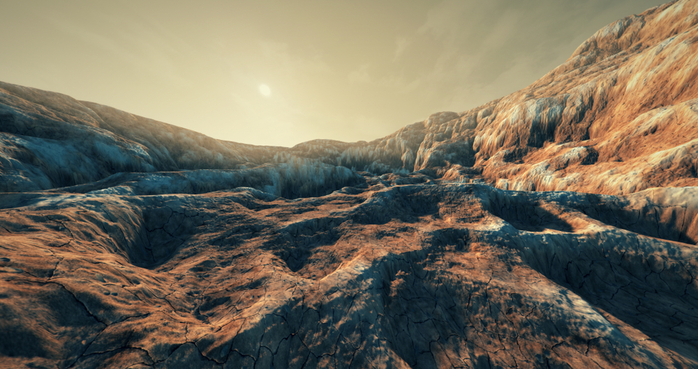
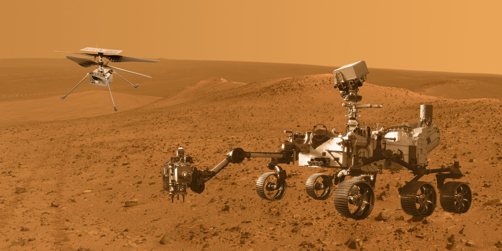
China’s Zhurong rover landed on Mars in May 2021 as part of the Tianwen-1 mission, marking a major milestone in the country’s space exploration program. Its destination was Utopia Planitia, a vast northern lowland that has fascinated planetary scientists for decades. The region was previously visited by NASA’s Viking 2 lander in 1976, but Zhurong arrived with more advanced equipment capable of investigating the ground beneath the surface rather than simply photographing the landscape above it.
One of the rover’s most important instruments was its ground-penetrating radar, which allowed researchers to examine underground structures by analyzing reflected signals. Instead of relying entirely on visible rocks and surface features, scientists could investigate changes in the materials hidden beneath the Martian soil. The radar revealed 16 polygonal structures buried more than 35 meters, or approximately 115 feet, underground, offering a rare glimpse into a landscape that has remained concealed for an enormous stretch of geological time.
The structures were identified across a radar survey extending roughly 1.9 kilometers, or 1.2 miles. Their distinctive shapes attracted attention because polygonal terrain can develop through several geological processes, including repeated temperature changes that cause the ground to crack. The researchers examined the radar patterns alongside the region’s geological history to determine which explanation best fitted the available evidence.
The findings were published in Nature Astronomy in November 2023. The researchers interpreted the formations as ancient polygonal terrain that most likely developed through thermal contraction cracking, potentially involving repeated freezing and thawing. Although radar cannot reveal every detail of how the structures formed, the discovery provided new evidence that Mars’s buried geological record may contain clues to environmental conditions very different from those experienced today.
The Strange Shapes May Have Formed Through Freezing And Thawing
Polygon-shaped ground is familiar in some cold regions on Earth, where changes in temperature can cause the soil to contract and fracture. When moisture enters the ground and temperatures fall, ice can develop within cracks and influence the surrounding material. Repeated changes between freezing and warmer conditions can gradually create distinctive patterns across the terrain, leaving behind polygonal shapes that sometimes remain visible long after the original conditions have changed.
Researchers believe a similar process may explain the structures beneath Utopia Planitia. In the proposed formation sequence, moisture first moved through the ground before freezing conditions encouraged ice to form within cracks. Thermal contraction and repeated environmental changes then contributed to fractures that divided the terrain into polygon-like sections. Eventually, newer layers of material accumulated above the formations, burying the original surface and preserving its shape beneath the ground.
The researchers also considered whether volcanic activity could have produced the structures. Mars has a remarkable volcanic history, including Olympus Mons, the tallest known volcano in the Solar System, and polygonal formations can develop in volcanic landscapes on Earth. However, the team found no evidence of basaltic extrusions at the explored site that would support a volcanic explanation, making a sedimentary origin involving thermal processes a more convincing interpretation.
The exact process remains uncertain because the formations have not been excavated or examined directly. Scientists have inferred their likely origin from the radar data and the surrounding geological context, meaning other details about their development may still emerge. Even with those limitations, the discovery provides a compelling reason to investigate whether ancient Martian soil experienced repeated changes in temperature and moisture that helped shape the landscape long before it became the cold, dry environment seen today.
Mars May Have Experienced Dramatic Climate Changes
The location of the buried polygons makes the discovery particularly interesting. Utopia Planitia lies at approximately 25 degrees north of the Martian equator, well away from the planet’s polar regions. If freezing and thawing helped create the structures, suitable conditions for those processes may once have existed at latitudes where modern Mars would not be expected to experience the same pattern of environmental changes.
One possible explanation involves changes in Mars’s axial tilt, also known as its obliquity. A planet’s tilt influences how sunlight reaches different regions throughout the year, affecting the intensity and distribution of its seasons. Mars is believed to have experienced substantial variations in axial tilt over geological time, potentially creating climatic conditions that differed considerably from those present today.
If the planet’s tilt was significantly higher when the polygons formed, its middle latitudes could have experienced much more pronounced seasonal changes. Those conditions may have influenced where water and ice accumulated, potentially allowing repeated freezing and thawing to occur in regions that are now relatively dry. The researchers therefore suggested that the structures provide evidence consistent with the possibility of high obliquity in ancient Mars.
However, the radar observations do not establish the exact tilt of Mars when the terrain developed. High obliquity is a possible explanation for the geological evidence, rather than a confirmed measurement of the planet’s ancient orientation. Determining how much the climate changed, how long those conditions lasted, and how they affected different parts of the planet will require further research into Mars’s geological record.
What Happened After The Polygons Were Formed?
Another intriguing detail is that the polygonal structures lie beneath layers of material that look different from the buried terrain itself. This suggests that the landscape changed after the polygons developed, with later deposits covering the original surface and preserving its distinctive pattern underground. Whatever conditions allowed the formations to emerge eventually gave way to a different environment or a new phase of geological activity.
The researchers linked this contrast between the buried terrain and its covering material to a possible transformation in the ancient Martian climate. The original formations may have developed when moisture and temperature conditions favored thermal cracking, while later changes altered how material accumulated across the region. The available evidence does not establish precisely what triggered the transition, leaving several possible explanations open for further investigation.
Earlier studies of Utopia Planitia identified underground layers that researchers associated with episodes of flooding and sediment deposition. These findings suggest that the region experienced a complicated history involving the movement and accumulation of material over long periods. The newly identified polygons add another piece to that picture by revealing the horizontal structure of buried terrain, rather than focusing only on the vertical sequence of layers.
The formations do not prove that liquid water exists at the site today, nor do they establish exactly how much water was present billions of years ago. Instead, they provide geological evidence that may help researchers reconstruct the environmental conditions that shaped ancient Mars. By examining how the polygons relate to the surrounding deposits, scientists may eventually establish a clearer timeline of how the region evolved and why its earlier landscape became buried.
Why Scientists Are Looking Beneath The Martian Surface
Mars missions have traditionally relied heavily on surface images, geological measurements, and observations of visible landforms. Those tools have revealed ancient channels, sedimentary deposits, volcanic features, and other evidence that the planet experienced a much more varied geological history than its present appearance suggests. Radar technology adds another dimension by allowing researchers to investigate structures hidden beneath layers of soil and sediment.
Zhurong’s findings demonstrate how much information can remain concealed beneath an apparently ordinary landscape. The surface of Utopia Planitia may not reveal the polygons directly, but underground radar measurements have exposed patterns that could preserve evidence of ancient environmental processes. Such discoveries are particularly valuable on Mars, where direct excavation of large areas remains difficult and expensive.
Other missions have also shown that the Red Planet remains geologically interesting. NASA’s InSight lander recorded marsquakes, providing evidence of seismic activity, while orbital observations have helped scientists map extensive geological features across the planet. Each type of measurement reveals different information, allowing researchers to build a more detailed picture of how Mars changed over billions of years.
Future investigations could help determine whether similar buried polygons exist in other regions and whether their formation followed comparable processes. Additional information about the composition and structure of the underground deposits would also help scientists test competing explanations. The more researchers learn about these hidden formations, the better they may understand the environmental changes that transformed ancient Mars into the world explored by modern spacecraft.
The Buried Polygons Could Rewrite Part Of Mars’s History
The discovery of 16 polygonal structures beneath Utopia Planitia has opened a new window into the Red Planet’s distant past. Their possible connection to freezing and thawing raises important questions about how water and ice behaved at lower latitudes, while the layers covering the formations suggest that the environment changed after the original terrain developed. The evidence does not provide every answer, but it gives scientists a new way to investigate the planet’s ancient climate.
For now, the buried polygons remain a geological puzzle whose full history has yet to be established. Their shapes, depth, and relationship with surrounding deposits offer clues that researchers can use to test different explanations for their formation. More than 100 feet below the Martian surface, an ancient landscape has survived beneath layers of newer material, preserving evidence of conditions that may have vanished billions of years ago.