
Your cart is currently empty!
Scientists Say A Huge Glacier Collapse May Have Triggered Nepal’s Deadly Flood
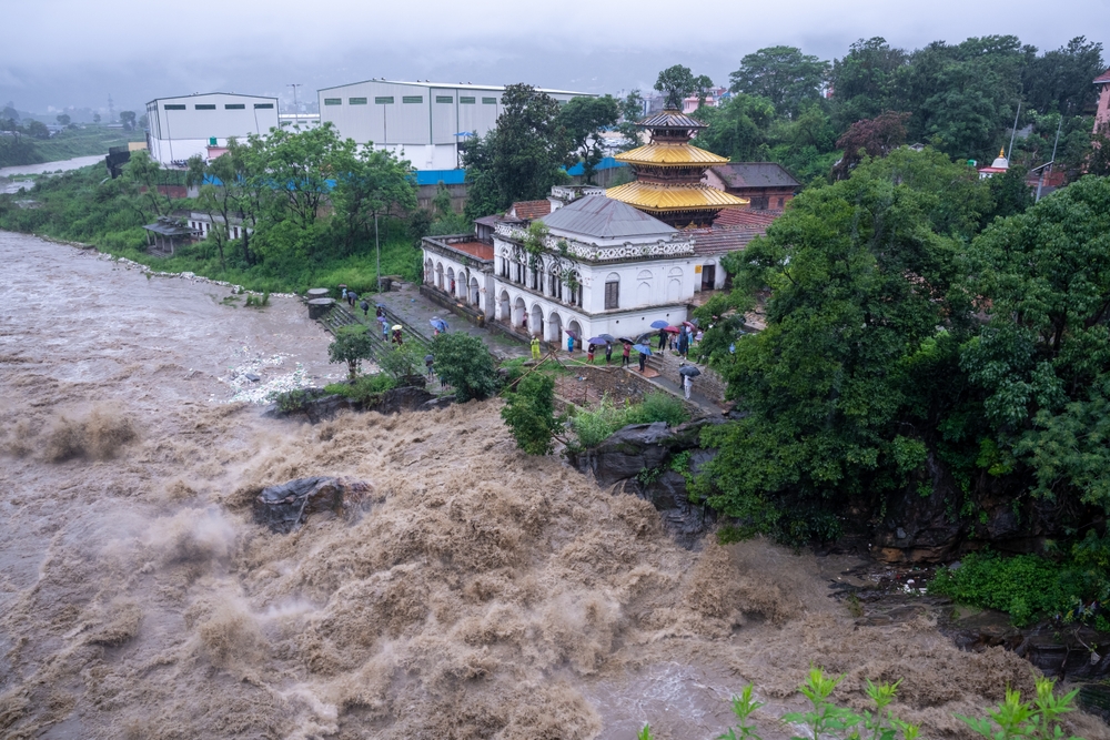
What first appeared to be an earthquake-related disaster may have started with a catastrophic collapse high in the Himalayas. Scientists investigating Nepal’s deadly floods now believe a huge mass of glacier ice and rock crashed into a valley, unleashing a devastating chain of events downstream.
Contents
show
The impact was reportedly so powerful that it registered as a magnitude 5.2 event. Within a short period, enormous volumes of water, mud, ice, and boulders surged through the mountain region, leaving hundreds dead and many more missing.
Scientists Point To A Massive Glacier Collapse
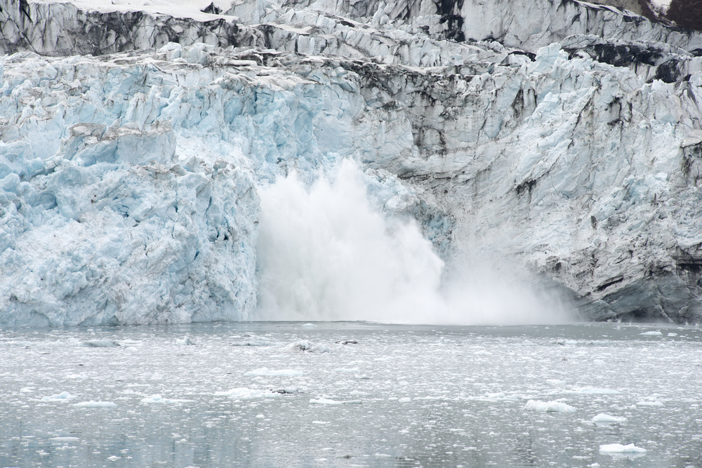
Preliminary investigations suggest the disaster near Nepal’s border with Tibet was caused by a major glacial collapse. Early reports had raised the possibility that an earthquake triggered a landslide, but the US Geological Survey later clarified that the event was linked to what scientists described as a “glacial collapse.”
Dr. Simon Cook, a glacier expert at the University of Dundee, told the BBC that his team detected the collapse of the lower part of a glacier near Langtang Lirung. The glacier was located around 15 km from the flood site, with the collapsed material believed to have travelled downstream through the steep Himalayan terrain.
The International Centre for Integrated Mountain Development, known as ICIMOD, also found evidence that there may have been “an ice-rock avalanche originating from a high-altitude area.” Its analysis suggested that a large volume of ice and rock debris entered the Lende Khola, a tributary of the Bhote Koshi river, causing a sudden and destructive surge downstream.
The Floodwaters Rose With Terrifying Speed
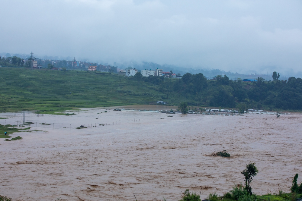
The scale of the event has shocked scientists studying the disaster. ICIMOD reported that water levels in rivers downstream rose by between seven and nine metres within just 30 minutes, while several water monitoring stations were washed away or severely damaged by the force of the flood.
Professor Göran Ekström described the disaster as a “massive geophysical event.” He explained that when enormous amounts of rock move rapidly down a mountain, the energy produced can generate heat and melt glacier ice, potentially adding even more water to an already dangerous flow.
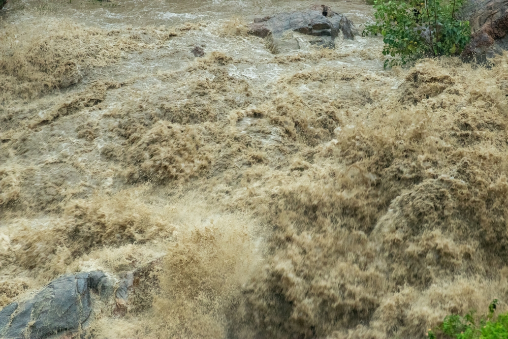
Ekström estimated that floodwaters may have reached between 130 and 160 feet high in some areas. He also suggested that the water may have travelled at speeds of up to 44 mph, turning the narrow mountain valley into a fast-moving channel of water, mud, debris, and ice.
Why The Mountain Terrain Made It Worse
The geography of the region may have intensified the disaster. Langtang Lirung sits among some of the steepest terrain in the Himalayas, where valleys can funnel enormous volumes of debris and water downhill at high speed.
Mike Searle, a professor of earth sciences at Oxford University, told the BBC that the disaster may have involved several stages. “The sheer wave of debris suggests there could have been a landslide first; the water built up, dammed the river, and then it burst in one huge great flood,” he said.
Searle said the entire process could have taken hours or even days before the devastating flood was unleashed. The combination of steep slopes, unstable material, ice, and narrow river channels created conditions capable of turning a mountain collapse into a catastrophic flood.
A Second Landslide Sparked Fresh Concerns
The first collapse may not have been the only immediate threat. Ekström said a second landslide occurred around three hours later, raising fears that the initial disaster had left nearby slopes unstable and vulnerable to further collapses.
Another major concern involves rivers blocked by mud, rock, and other debris. These blockages can create temporary natural dams, allowing huge amounts of water to build up behind them before the barrier eventually fails.
Scientists and emergency authorities are now concerned about several ongoing dangers:
- Unstable slopes: Further landslides could occur after the original collapse weakened surrounding terrain.
- Blocked rivers: Mud and debris can form temporary dams that trap large volumes of water upstream.
- Sudden flood surges: If those natural barriers collapse, water can rush downstream with little warning.
- Damaged monitoring stations: Destroyed equipment can make it harder to track rapidly changing river conditions.
- Remote mountain terrain: Rescue teams face difficult access to communities affected by flooding and landslides.
No forecast before Wednesday’s disaster had predicted that an avalanche would strike that particular location. That uncertainty highlights one of the biggest challenges facing communities beneath unstable Himalayan glaciers and mountains.
Hundreds Have Been Killed And Many Remain Missing
The human toll from the floods has been devastating. One report cited at least 358 deaths as of Thursday morning, based on figures from Nepali police, while local authorities said more than 1,300 people had gone missing from the affected area.
The same report said that 476 of those who had lost contact with authorities were foreign tourists, according to Nepal’s National Disaster Risk Reduction and Management Authority. The Nepal Tourism Board also reported that at least 63 American tourists were among those missing.
A second report included in the supplied references later put the death toll at at least 469 people. The changing figures reflect the difficulty of assessing casualties in remote areas where roads, bridges, communications, and monitoring infrastructure have been badly affected.
Foreign Tourists Were Caught In The Disaster
The Himalayan region attracts large numbers of visitors for trekking, climbing, and mountain tourism. That has added an international dimension to the search for those still missing, as authorities work to establish contact with people who may have been travelling through isolated areas.
Flooding in this terrain can cut off entire communities within hours. When bridges are destroyed and roads disappear beneath mud and debris, rescue teams can struggle to reach affected areas or determine who managed to escape.
The number of missing people may continue to change as search and rescue operations move forward. Authorities are still working to identify victims and locate those who remain out of contact following one of the region’s deadliest recent disasters.
The Himalayas Have Faced Similar Flood Threats Before
This is not the first time the region has experienced a dangerous flood linked to ice and high mountain environments. On July 8, 2025, the Bhotekoshi river suddenly surged after a glacial lake outburst in the Lhende river near the Nepal-China border.
Scientists have repeatedly warned that the Himalayas contain large numbers of glacial lakes that could become dangerous if their natural barriers weaken or collapse. A study by ICIMOD and the United Nations Development Programme identified 3,624 glacial lakes across Nepal, India, and Tibet.
Of those lakes, 47 were classified as potentially dangerous and at risk of bursting, including 21 in Nepal. The concern is that melting ice can change the shape and stability of mountain landscapes, creating new hazards for communities living downstream.
Other Glacier Collapses Have Turned Deadly
In 2021, a major section of a Himalayan glacier collapsed in the Chamoli region of northern India. The resulting cascade of debris and water killed around 200 people, showing how quickly a collapse high in the mountains can become a disaster far below.
Scientists later estimated that the force of the Chamoli collapse was equivalent to 15 atomic bombs, according to a BBC report referenced in the supplied material. Similar incidents involving glacier collapses and destructive mountain flooding have also been reported in Switzerland and Italy.
Dr. Cook pointed out that these types of hazards have become increasingly visible in mountain regions around the world. While each event has its own causes, scientists are closely watching how warming temperatures and changing ice conditions may affect already unstable landscapes.
Climate Change May Be Increasing The Danger
Scientists are careful about directly attributing one individual disaster to climate change. However, several experts say that rising temperatures are contributing to wider changes across the Himalayan environment, including melting glaciers and thawing permafrost.
Ekström said that landslides in mountainous regions are becoming more frequent and linked that trend to the melting of glaciers. Dr. Cook also explained that warming temperatures can shrink glaciers and weaken frozen ground that helps hold some mountain slopes together.
“The logic is that with a warming planet, you will see shrinking glaciers, lots of snow melt,” Cook told the BBC. He said thawing and degrading permafrost could increase the risk of landslides, debris flows, glacial meltwater, lake outbursts, and glacier collapses.
Himalayan Ice Is Disappearing Faster
An ICIMOD analysis released earlier this year found that glaciers in the Hindu Kush Himalaya are now losing ice at twice the rate recorded since 2000. That rapid loss is changing a region that provides water to millions of people across Asia.
Searle also pointed to another powerful force shaping the landscape: tectonic movement. The Himalayas continue to rise as tectonic plates push against one another, gradually making some mountain slopes and glaciers steeper.
“As the mountain is rising, the glacier gets steeper and steeper, and it’s inevitable that parts of it fall off,” Searle said. Smaller collapses may happen without causing a major disaster, but scientists believe this latest event was unusual because such a large amount of ice and debris may have collapsed at once.
Scientists Still Do Not Know What Triggered It
The exact cause of the glacier collapse remains unclear. Scientists have identified several possible factors, including steep terrain, tectonic movement, melting ice, unstable permafrost, and the natural forces constantly reshaping the Himalayas.
Searle suggested that the disaster may have resulted from two processes working together: the long-term uplift of the Himalayas and rising temperatures affecting glaciers. “These floods happen all the time, but not at this scale,” he said of the extraordinary nature of the event.
For now, investigators are still piecing together what happened in the hours and days before the collapse. Satellite data, geological analysis, and evidence from the affected valleys may help scientists understand how the disaster unfolded.
The tragedy has exposed the terrifying speed at which conditions can change in high mountain regions. A collapse far above a populated valley can set off a chain reaction that reaches communities downstream before anyone has a chance to prepare.
Nepal Faces The Aftermath Of A Catastrophic Event
The immediate focus remains on the search for survivors and those still missing. Rescue efforts are taking place in difficult conditions, while authorities also face the continuing risk of unstable slopes and blocked rivers.
Scientists will continue investigating the collapse to determine exactly what triggered it and whether similar dangers remain in the surrounding region. The answers could be crucial for communities living beneath some of the world’s fastest-changing glaciers.
For the people caught in the flood’s path, the science behind the disaster cannot undo what happened. But understanding how a mountain of ice and rock became a deadly wall of water may be vital to identifying future dangers before another valley is hit.