
Your cart is currently empty!
Archaeologists Discover Ancient Scottish Island Built Before Stonehenge
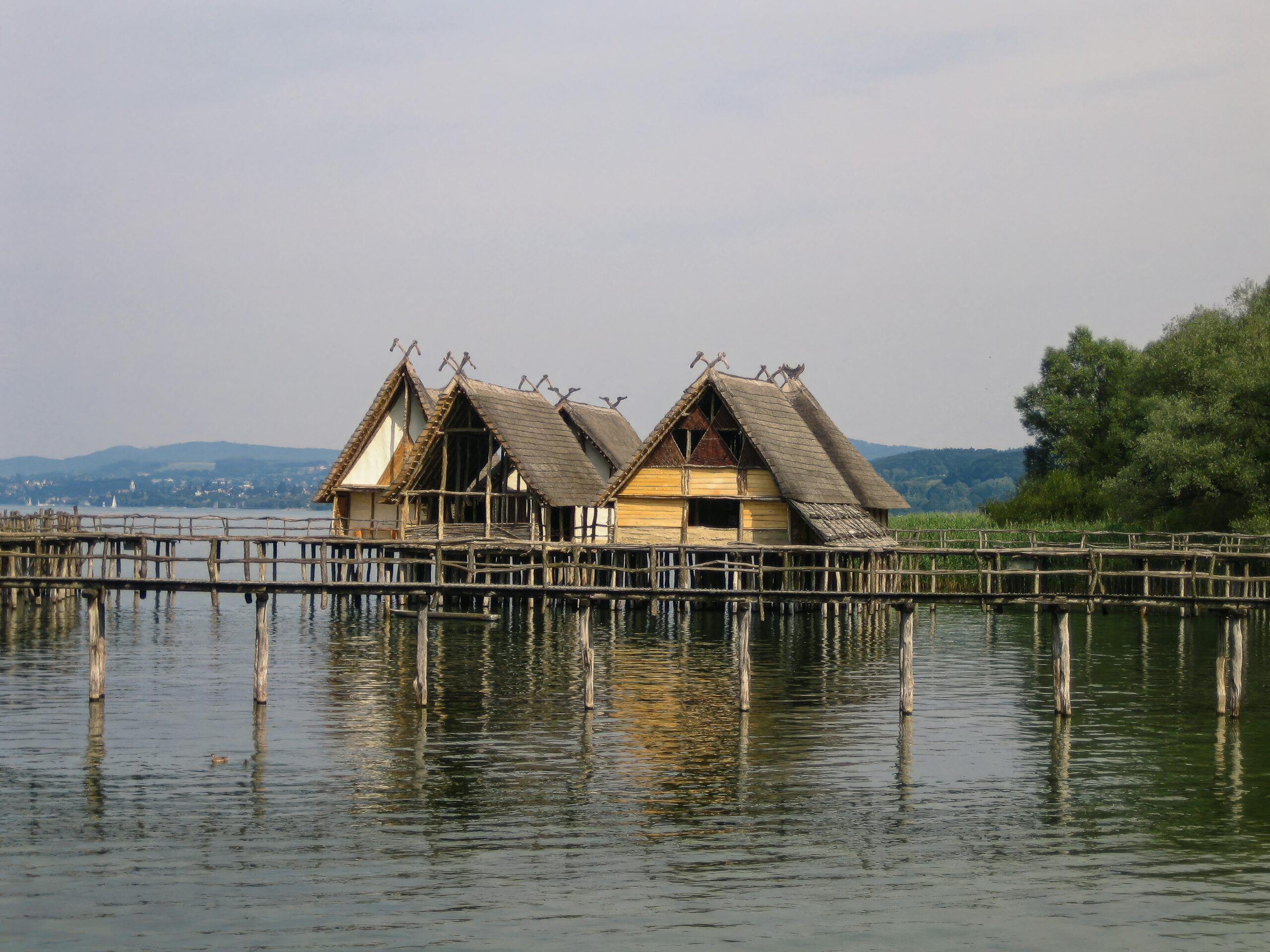
For years, the tiny island sitting in a remote Scottish loch looked like little more than a rough circle of stone surrounded by murky water.
Contents
show
Now archaeologists say it may be one of the most astonishing prehistoric engineering projects ever uncovered in the British Isles.
Researchers investigating the crannog at Loch Bhorgastail on the Isle of Lewis discovered that the artificial island was originally built on a massive wooden platform around 5,000 years ago. That makes it older than Stonehenge and far older than experts once believed these mysterious islands could be.
The discovery is forcing archaeologists to rethink what Neolithic communities in Scotland were capable of building thousands of years before modern engineering existed.
The Island Was Hiding A Huge Wooden Structure
From above, the island appears deceptively simple.
A ring of stone rises just above the surface of the loch, with more of the structure visible beneath the shallow brown water. For decades, archaeologists believed the island was primarily stone-based, with some timber hidden underneath.
Excavations changed that assumption almost immediately.
Dr Stephanie Blankshein from the University of Southampton explained that researchers realized they were looking at something far more complex once digging began.
“When we actually started excavating, is when we realised that it was actually this coherent, quite large timber structure that was under what you would see as the stone island today,” she said.
Beneath the visible stone cap, archaeologists uncovered a carefully layered foundation made from timber and brushwood. The original platform measured around 23 meters across and appears to have been intentionally engineered to support an island built directly in the water.
The construction would have required enormous planning, manpower, and resources.
Researchers believe prehistoric builders first created a circular wooden platform before covering it with brushwood and later reinforcing it with stone. Over the following centuries, more layers were added as the structure evolved.
At one point, the island was even connected to the shore by a stone causeway that now lies underwater.
The scale of the work has stunned archaeologists because it suggests communities living in Scotland during the Neolithic period had organizational abilities far beyond what many people imagine.
The Crannog Is Older Than Stonehenge
One of the most shocking parts of the discovery is the age of the structure itself.
Radiocarbon dating places the earliest phase of the crannog between 3500 and 3300 BC. That means people were building artificial islands in Scotland before some of the most famous monuments in Britain even existed.
Stonehenge is believed to have begun construction around 3000 BC.
For years, crannogs were mostly associated with the Iron Age and medieval Scotland. Archaeologists thought many of these islands had been built and reused over later historical periods.
That timeline has now changed dramatically.
Researchers say several crannogs across Scotland may actually trace their origins back to the Neolithic era, making them among the oldest engineered island structures in Europe.
The implications are massive.
Instead of isolated farming communities living simple lives, evidence increasingly points toward organized societies capable of carrying out major construction projects in difficult environments.
Dr Blankshein said the sheer effort required to build the island reveals how important these sites must have been.
“While we still don’t know exactly why these islands were built, the resources and labour required to construct them suggest not only complex communities capable of such feats, but also the great significance of these sites,” she explained.
That mystery remains one of the biggest unanswered questions surrounding crannogs.
Archaeologists Still Do Not Know Why The Islands Were Built
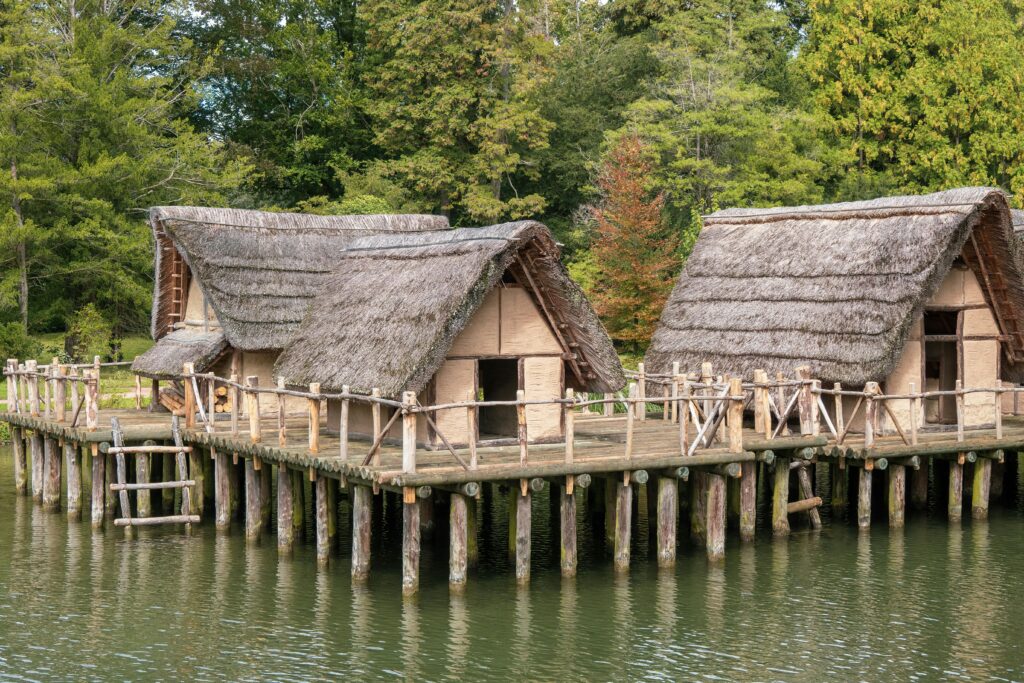
Crannogs have puzzled historians and archaeologists for generations.
Hundreds of these artificial islands are scattered throughout Scotland and Ireland, yet experts still debate their original purpose.
Some researchers believe they may have served as protected homes built away from predators or enemies.
Others think they were ceremonial gathering spaces connected to rituals, feasting, or community events.
At Loch Bhorgastail, archaeologists discovered hundreds of fragments of Neolithic pottery in the surrounding water, including pieces of bowls and jars that once contained food.
The discoveries suggest the island was a place where people gathered regularly.
Researchers now suspect communal cooking, feasting, and social ceremonies may have taken place there thousands of years ago.
Several clues point in that direction:
- Large amounts of pottery were deliberately left around the island.
- Food residue has been found inside some vessels.
- The construction effort would have required coordinated group labor.
- The island occupied a visually striking position within the loch.
- The causeway connected the structure directly to the shoreline.
What makes the site especially fascinating is how long it remained active.
Evidence suggests the island continued evolving over thousands of years.
Around 2,000 years after the original platform was built, people added another layer of brushwood and stone during the Middle Bronze Age. Activity continued again roughly 1,000 years later during the Iron Age.
That means generation after generation kept returning to the same mysterious island.
Even now, archaeologists are unsure whether the later communities fully understood who built the original structure beneath them.
The Discovery Required An Entirely New Technology

Finding the ancient foundations was not easy.
The island sits in extremely shallow water, which creates major problems for archaeologists trying to map underwater structures.
Modern underwater surveys often rely on sonar equipment or advanced marine technology, but shallow water creates a frustrating blind spot known among researchers as the “white ribbon.” Traditional land surveying tools stop working at the water’s edge, while many marine systems cannot function properly in water less than a meter deep.
Loch Bhorgastail presented nearly every challenge possible.
Fine sediment clouded the water. Floating vegetation blocked visibility. Light reflected unpredictably across the surface. Even small waves distorted images.
Professor Fraser Sturt from the University of Southampton described shallow water imaging as one of archaeology’s biggest technical frustrations.
“Photogrammetry is very effective in deep water but runs into problems at depths of less than a metre,” he explained.
Instead of giving up, researchers built an entirely new imaging system.
They mounted two waterproof cameras side by side on a custom frame and moved them through the water with centimeter-level accuracy. The cameras captured overlapping photographs from multiple angles while divers carefully controlled their movement underwater.
The technique is called stereophotogrammetry.
By combining thousands of overlapping images, researchers could create a highly detailed three-dimensional reconstruction of both the visible island and the submerged wooden foundations hidden beneath it.
The result allowed archaeologists to study the entire structure as one connected site instead of treating the underwater and above-water sections separately.
That breakthrough changed everything.
The 3D Models Revealed What The Human Eye Could Not
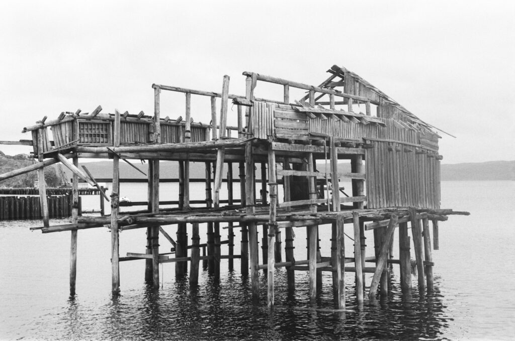
Once the images were processed, the team began seeing details impossible to identify from the surface.
The digital models exposed the full shape of the submerged timber platform and helped archaeologists reconstruct how the island changed over time.
Researchers could suddenly trace different construction phases stretching across thousands of years.
The earliest version of the island appears to have started as a massive circular wooden platform laid directly into the loch.
Brushwood was then layered over the timber to stabilize the surface.
Later generations added stone reinforcements and expanded sections of the structure as water levels and community needs changed.
The models also revealed the remains of the underwater stone causeway leading toward shore.
Without the imaging technology, many of these details would have remained invisible.
Researchers say the project demonstrates how rapidly archaeological technology is changing the way ancient sites are studied.
In the past, underwater excavation often required archaeologists to rely heavily on hand drawings, tape measurements, and partial reconstructions.
Now, advanced imaging systems allow experts to create full digital landscapes accurate down to a few millimeters.
At Loch Bhorgastail, the precision achieved underwater reportedly matched the accuracy of aerial drone surveys conducted above land.
That level of detail is especially important because the site exists in what researchers describe as a “liminal zone” between land and water.
Treating both environments as part of the same structure gave archaeologists a much clearer understanding of how the island functioned.
The Discovery Is Changing How Experts View Neolithic Scotland

For decades, many people imagined Neolithic Britain as a landscape of scattered farming settlements with limited technology.
Discoveries like Loch Bhorgastail are beginning to paint a very different picture.
The island required engineering knowledge, coordinated labor, access to timber, transportation systems, and long-term planning.
Building an artificial island in the middle of a loch 5,000 years ago would not have been a casual project.
Researchers increasingly believe prehistoric communities in Scotland were capable of highly organized construction efforts that rivaled other major Neolithic cultures across Europe.
The crannog also highlights how important water may have been to these communities.
More than half of the modern world’s population lives close to freshwater, and archaeologists say ancient humans were no different.
Rivers, coastlines, lakes, and marshlands offered transportation routes, food resources, and natural gathering places.
The edges between land and water often became centers of human activity.
That is partly why discoveries like Loch Bhorgastail matter so much.
They offer a rare glimpse into how ancient communities interacted with these environments and reshaped them to fit their needs.
Instead of simply adapting to nature, prehistoric people were actively engineering landscapes thousands of years earlier than many realize.
The Isle Of Lewis Has Become An Archaeological Treasure Trove
The Isle of Lewis, located in Scotland’s Outer Hebrides, has become one of the most important regions for studying prehistoric Britain.
The island is already famous for the Lewis Chessmen, mysterious standing stones, and ancient settlements spread across its rugged coastline.
But the crannogs hidden within its lochs may prove equally important.
Researchers say many similar sites remain unexplored beneath Scottish waters.
Some may be invisible from shore.
Others could still contain preserved wooden structures protected by layers of mud and low-oxygen water conditions.
That preservation is critical.
Wood normally decays over time, especially in wet environments. Yet underwater conditions in certain lochs can preserve ancient organic material for thousands of years.
At Loch Bhorgastail, archaeologists found timber that still clearly showed how the original builders positioned and layered the structure.
The site was first discovered in 2009, but only recent advances in imaging technology made it possible to fully understand what lay beneath the stone surface.
Researchers now hope the same methods can be used at other crannog sites across Scotland and Ireland.
If similar structures are uncovered elsewhere, archaeologists may eventually rewrite major sections of prehistoric British history.
Why The Discovery Has Captured So Much Attention Online
Stories involving lost ancient structures almost always explode online, but Loch Bhorgastail has drawn particular fascination because it combines several things people love.
There is mystery.
There is ancient engineering.
And there is the unsettling realization that people living 5,000 years ago may have been far more sophisticated than modern stereotypes suggest.
Social media users have compared the discovery to uncovering a forgotten civilization hidden beneath the water.
Others were stunned to learn prehistoric people built artificial islands long before modern machinery existed.
Part of the fascination comes from how modern the idea sounds.
Today, artificial islands are associated with massive luxury developments in places like Dubai or large engineering projects in China.
The realization that Neolithic communities in Scotland were creating their own versions thousands of years ago feels almost unbelievable.
Yet the evidence is sitting beneath the loch.
The wooden foundations are real.
The stone causeway is real.
And the pottery fragments scattered through the water prove people returned to the site repeatedly over centuries.
The discovery also taps into a growing public fascination with lost prehistoric worlds.
Over the past decade, archaeologists have uncovered increasingly complex evidence showing ancient humans built massive monuments, sophisticated settlements, and carefully planned ceremonial sites long before written history began.
Every new discovery chips away at the old idea that prehistoric societies were primitive.
Loch Bhorgastail may be one of the clearest examples yet.
Archaeologists Believe There Is Much More Left To Discover
Despite years of excavation, researchers say they have only begun to understand the site.
Large sections of the underwater structure remain unexplored.
Archaeologists still do not know exactly who built the island, how long construction took, or what specific rituals or activities happened there.
The surrounding landscape may hold additional clues.
Researchers hope future surveys could uncover more artifacts, hidden structures, or environmental evidence explaining how the loch looked thousands of years ago.
There is also growing interest in whether similar islands exist elsewhere beneath Scottish waters.
Many lochs have never been surveyed using modern photogrammetry techniques.
That means entire prehistoric structures could still be sitting unnoticed underwater.
The team behind the project believes their low-cost imaging method could transform shallow-water archaeology around the world.
Instead of relying on expensive deep-sea equipment, archaeologists may now have a portable system capable of mapping difficult underwater environments with remarkable precision.
That could help researchers investigate ancient harbors, submerged settlements, and lakeside ritual sites far more effectively than before.
For now, though, Loch Bhorgastail remains one of the most extraordinary examples ever uncovered.
A small island sitting quietly in a Scottish loch turned out to contain the remains of a massive prehistoric engineering project older than Stonehenge itself.
And after 5,000 years hidden beneath the water, it is finally beginning to reveal its secrets.