
Your cart is currently empty!
Super Typhoon Champi Sets a Terrifying 2026 Record as Its Reach Extends Toward Canada
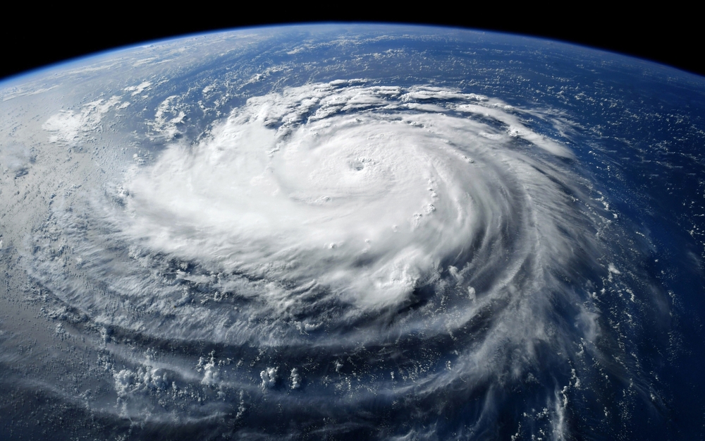
Super Typhoon Champi has reached wind speeds of 184 mph, making it the strongest tropical cyclone on Earth in 2026 by maximum sustained wind speed. The powerful storm has intensified over the western Pacific to the equivalent of a Category 5 hurricane, placing it among the most intense tropical systems recorded this year.
Contents
show
As Champi continues toward Taiwan, meteorologists are watching how the storm interacts with the jet stream, a powerful atmospheric current that influences weather patterns across vast distances. The resulting changes could contribute to unsettled conditions across Ontario and Quebec as October draws to a close and November begins.
Champi Has Taken the Top Spot Among 2026’s Strongest Storms
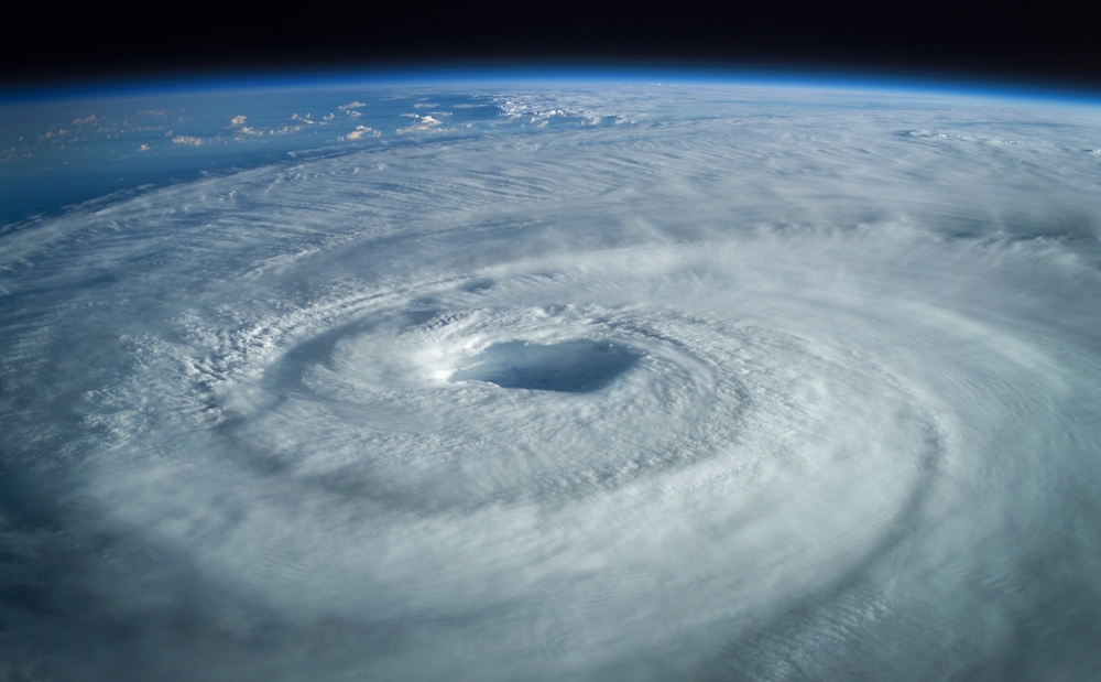
Champi reached peak sustained winds of 296 km/h (184 mph), placing it at Category 5-equivalent intensity on the hurricane wind scale. It has now become the world’s strongest tropical cyclone of 2026 when measured by maximum sustained wind speed, according to the supplied report.
The storm also becomes the seventh Category 5 storm recorded globally this year. Before Champi intensified, Hurricane Polo held the year’s wind-speed record with maximum sustained winds of 285 km/h (177 mph). Champi surpassed that figure by approximately 11 km/h (7 mph), giving it the lead among the year’s most powerful tropical cyclones by this measure.
Champi passed Guam early Sunday morning local time, with radar imagery showing a well-organized storm structure as it continued across the western Pacific. Its development reflects how quickly favorable oceanic and atmospheric conditions can help a tropical cyclone intensify.
Hurricane Polo Still Holds an Important Intensity Advantage
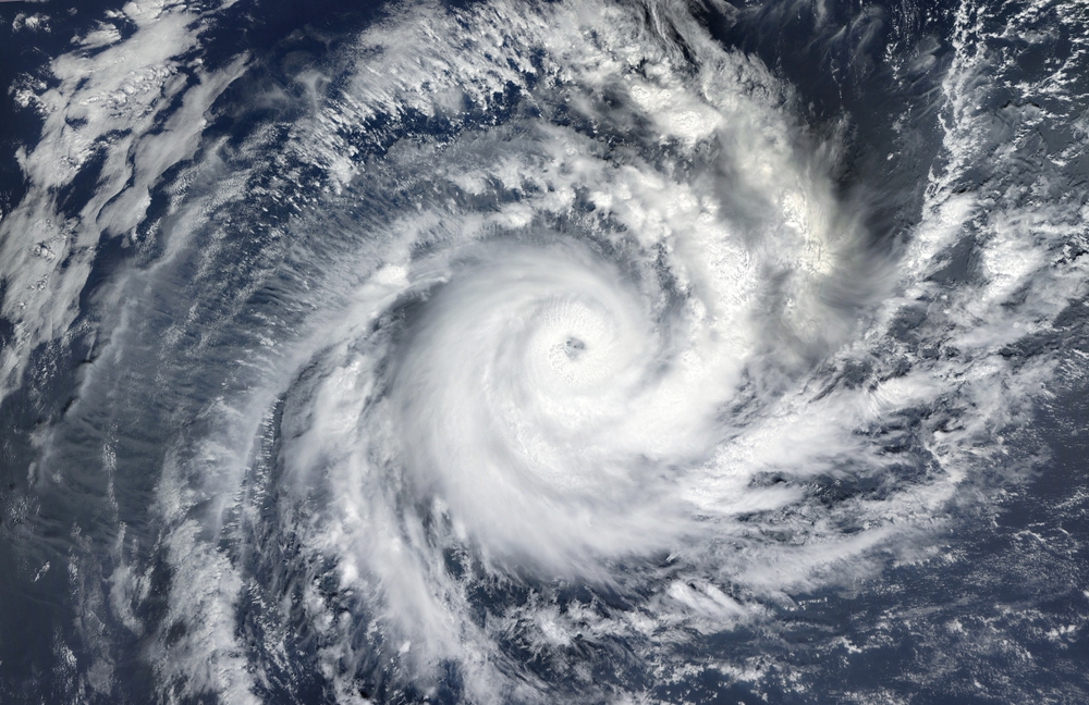
Despite Champi’s wind-speed record, Hurricane Polo recorded a lower minimum central pressure. Polo reached 892 millibars, compared with Champi’s 895 millibars. Lower central pressure generally indicates a more intense tropical cyclone, although pressure alone does not capture every aspect of a storm’s strength.
The distinction explains why comparisons between powerful storms can produce different results depending on the measurement being used. Champi has the higher maximum sustained wind speed, while Polo recorded the lower central pressure.
The two storms therefore lead in different categories:
- Maximum sustained wind speed: Champi leads with 296 km/h (184 mph), compared with Polo’s 285 km/h (177 mph).
- Minimum central pressure: Polo leads at 892 millibars, compared with Champi’s 895 millibars.
- Overall comparison: Champi holds the 2026 wind-speed record, while Polo retains the advantage in minimum central pressure.
Polo’s pressure reading also made it the second-most intense hurricane on record in the eastern Pacific, according to the supplied report. Champi’s achievement remains significant, but the comparison shows why a single measurement cannot describe every aspect of tropical cyclone intensity.
The Warm Pacific Waters Helping Champi Intensify
Champi’s extreme wind speeds have developed in an environment containing several conditions favorable to tropical cyclone intensification. Sea surface temperatures in the surrounding western Pacific are running around 30°C (86°F), slightly warmer than normal for this time of year. Warm ocean water supplies heat and moisture that can fuel a storm’s development.
However, warm water alone does not guarantee that a tropical cyclone will strengthen. The atmosphere must also support the storm’s circulation, allowing thunderstorms to organize and air to move efficiently through the system.
Champi has benefited from deep atmospheric moisture, relatively low wind shear and upper-level conditions that help remove air from above the storm. These ingredients have supported the system’s organization and allowed it to maintain its exceptional intensity.
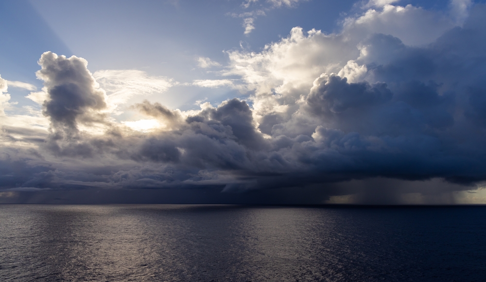
Several environmental factors have contributed to Champi’s development:
- Warm sea surface temperatures: Water near 30°C has provided a substantial source of heat and moisture.
- Deep atmospheric moisture: Moist air has helped support thunderstorms around the storm’s circulation.
- Low wind shear: Limited changes in wind speed and direction with altitude have allowed the storm to maintain its structure.
- Favorable upper-level conditions: Air moving away from the storm at high altitude has supported the circulation below.
- Internal organization: Champi’s organized structure has helped it take advantage of the favorable surrounding environment.
Together, these conditions have allowed Champi to reach Category 5-equivalent intensity. However, the environment supporting the storm is expected to become less favorable as it continues across the Pacific.
Champi Is Forecast to Weaken as It Moves Toward Taiwan
Despite its record-setting winds, Champi is not expected to maintain its current intensity indefinitely. The storm is forecast to continue tracking west toward Taipei before turning northwest later in the week. As it moves, it is expected to encounter conditions that are less favorable for continued intensification.
The supplied forecast indicates that Champi could weaken to Category 4 or Category 3 intensity by Thursday or Friday. If that prediction holds, the storm will fall below Category 5 status within days of reaching its peak.
A reduction in wind speed does not automatically eliminate the danger associated with a powerful tropical cyclone. Storms can continue producing destructive winds, heavy rainfall and dangerous coastal conditions after their peak intensity has passed. Their potential impacts depend on their track, size, rainfall and proximity to populated areas.
The supplied material does not provide a detailed breakdown of expected local impacts along Champi’s future path. People in potentially affected areas should follow official local weather warnings rather than assuming the storm will become harmless once its winds begin to weaken.

How Champi Could Influence Weather Across Canada
Champi’s influence may extend beyond the western Pacific because the storm is interacting with the jet stream. This fast-moving current of air high in the atmosphere helps steer weather systems and shapes the movement of air masses across large parts of the planet.
Changes in the jet stream can contribute to weather shifts far from a tropical cyclone. Champi’s more westerly track toward Taiwan is expected to contribute to downstream effects reaching Canada, according to the supplied report.
The storm itself is not expected to travel to Canada. Instead, changes in atmospheric circulation associated with Champi could influence weather patterns farther downstream, reinforcing a broader pattern already expected for late October and early November.
Ontario and Quebec are among the regions being watched for changes during the middle and later part of next week. The forecast points toward periods of unsettled and changeable weather, with the possibility that these conditions could linger into the following week.
Warmer-than-normal temperatures are still expected to dominate overall, although brief interruptions could bring changes to the pattern. The exact timing and strength of these effects remain uncertain as atmospheric conditions continue to evolve.
What Ontario and Quebec Could Experience in Early November
The current outlook suggests that warmer-than-normal weather will remain a prominent feature across Ontario and Quebec, even as conditions become more unsettled at times. The overall temperature pattern could remain mild while individual days bring changes in cloud cover, precipitation or other local conditions.
The supplied forecast does not specify exact temperatures or rainfall totals for particular cities. However, it identifies several developments worth watching as October transitions into November:
- Ontario: The province could experience unsettled weather during the middle and later part of next week.
- Quebec: Similar changes could affect the province as the jet stream pattern develops.
- Warmer temperatures: Temperatures above seasonal averages are expected to remain the dominant feature.
- Brief interruptions: Short-lived changes could interrupt the warmer conditions.
- Early November: The unsettled pattern could continue into the following week.
These points describe the broad forecast rather than a guarantee of specific weather in every location. Conditions can differ considerably across both provinces, and the timing of unsettled periods may change as forecasts are updated.
For residents, the practical concern is the possibility of changing conditions rather than an expectation of a single major weather event. Checking local forecasts before travel or outdoor activities will provide a clearer picture as the end of October approaches.
Champi’s Next Moves Could Shape the Weather Story
Champi has already secured the year’s highest maximum sustained wind speed among tropical cyclones, but the storm’s development is still unfolding. Its expected weakening toward Category 4 or Category 3 intensity will determine how its structure changes as it moves toward Taiwan. Meanwhile, its interaction with the jet stream could contribute to weather changes thousands of miles away.
The potential Canadian effects are less direct than the storm’s immediate impacts across the Pacific. The current outlook points toward warmer-than-normal temperatures alongside more unsettled periods in Ontario and Quebec during the transition into November. The precise timing and local intensity of those changes will depend on how the wider atmospheric pattern develops.
Champi may lose its Category 5-equivalent strength within days, but the weather pattern surrounding it could remain significant long after its peak. For Canada, the key development to watch is whether the forecasted shift toward more unsettled conditions unfolds as expected.