
Your cart is currently empty!
US Waives Protections for Native American Graves to Build Border Wall Across Ancient Sacred Sites
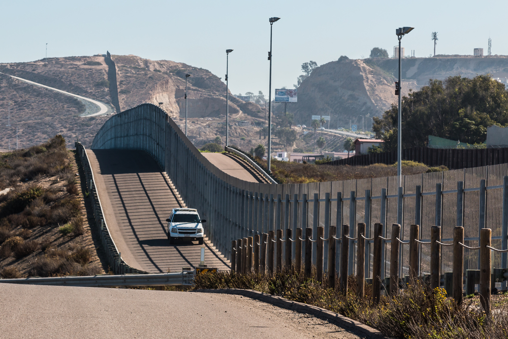
On July 27, 2026, the federal government set aside the law that protects Native American graves, along with dozens of other safeguards, for one stretch of the Texas border. There was no new act of Congress. One signature, and the protections were gone.
Contents
show
To understand what was just signed away out there, you have to meet Carolyn Boyd.
Boyd is an anthropology professor at Texas State University and the founder of Shumla, a research center built to study and protect the ancient murals of the Lower Pecos Canyonlands, the wild limestone country where the Pecos River meets the Rio Grande. She has spent her life learning to read some of the oldest murals in North America, and she will not call them pictures. “They are the voices of 175 generations that lived in the region,” she said.
A border wall is now headed straight for those voices. And the laws that stood between the bulldozers and the canyons have just been switched off.
A Federal Waiver Has Changed The Rules
On July 27, 2026, the Department of Homeland Security issued another waiver covering border barriers and related infrastructure across a remote section of Texas.
The area stretches from the canyon country around Big Bend toward Lake Amistad. The waiver applies to physical barriers, roads, staging areas, drainage systems, lighting, cameras and sensors.
Among the protections waived are the National Environmental Policy Act, Endangered Species Act, Clean Water Act, National Historic Preservation Act and Native American Graves Protection and Repatriation Act.
The Native American Graves Protection and Repatriation Act is particularly significant because it provides federal protections involving Native American human remains, funerary objects and certain cultural items.

The waiver does not mean every protected site will necessarily be destroyed. It does mean that laws that would normally impose restrictions or require certain reviews no longer stand in the way of the covered construction.
That distinction matters because the exact infrastructure plan has changed repeatedly.
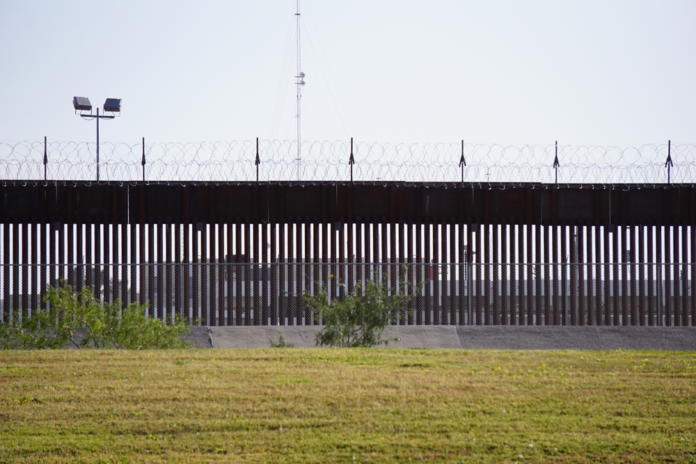
Earlier proposals raised concerns about a tall steel bollard wall. More recent plans in parts of the Lower Pecos have involved lower vehicle barriers and patrol roads, although the July waiver itself covers a broader range of possible infrastructure.
For archaeologists, the uncertainty is part of the problem.
They know the landscape contains thousands of years of human history. They also know that not everything has been found.
A Library Written on Limestone
Where the Pecos River empties into the Rio Grande west of Del Rio, the desert splits open into deep, pale canyons. Tucked into their rock shelters is an 8,600-acre archaeological district holding more than 300 known rock art sites, some of them murals that run for hundreds of feet. In one of them, Panther Cave, a painted cat nine feet across still leaps along the shelter wall, exactly where its maker left it.
The oldest of these, the Pecos River Style murals, “were first produced around 5,700 years ago,” according to Boyd. And for roughly 4,000 years afterward, the artists who followed kept painting the universe in the same visual language, generation after generation, never breaking the chain.
The most famous panel, the White Shaman mural, spans some 26 feet of shallow cave wall above the river. Researchers treat it less like a picture and more like a text. When Boyd consulted elders from the Wixárika, also known as the Huichol, an Indigenous people of western Mexico with ancestral ties to these deserts, they reached a consensus about what it says: the story of the creation of the sun.
Long before anyone drew a border here, someone stood in that cave and painted an answer to one of the oldest questions we have: where the light came from.
What the Government Signed Away
The Department of Homeland Security waiver took effect July 27 and covers planned border barriers and roads from the canyon country of Big Bend to the area around Lake Amistad. Among the suspended laws: the National Environmental Policy Act, the Endangered Species Act, the Clean Water Act, the National Historic Preservation Act, and the Native American Graves Protection and Repatriation Act, the federal shield for Indigenous burial sites.
The power comes from the REAL ID Act of 2005, which lets the Homeland Security secretary waive any law that stands in the way of building border barriers and roads.
The money is already moving. On June 3, a $2.6 billion contract for barriers and patrol roads through Val Verde County went to Fisher Sand & Gravel, part of a planned $46 billion buildout of physical wall and AI-powered surveillance along the border.
The White Shaman Mural Is More Than A Painting
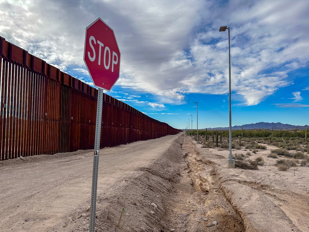
This is not gentle ground. To anchor a tall steel barrier in solid limestone canyon country, crews are expected to blast.
Raymond Skiles, a retired National Park Service biologist who spent his career in the Big Bend region, has no illusions about what that means. “You add dynamite or whatever blasting is required to the 35-foot steel bollard wall, and I have no doubt that those will be seriously damaged,” he said.
The numbers are hard to hold. About 80 known rock art sites sit south of the proposed barrier line, with 13 more within 500 meters of it. Across the region, at least 425 Texas archaeological sites, including 84 painted murals, could be disturbed by the expansion.
And a bulldozer does not need to touch a mural to kill it. Landowners and researchers fear construction vibrations alone could destabilize the rock faces the paintings live on, undoing in a single building season what fifty-seven centuries of flood and sun could not.
“This [border wall] route goes in and out of different canyons, so the potential for damage to these rock art sites and just archaeology in general is very large,” said Amanda Castañeda, Shumla’s archaeology director.
Construction Could Damage Sites Without Touching Them
The biggest concern is not necessarily a bulldozer driving directly into a painted wall.
The surrounding landscape can be fragile enough that construction activity nearby may pose a threat.
Heavy equipment creates vibration. Road construction changes the terrain. Excavation can disturb archaeological deposits that remain hidden beneath the surface.
Blasting presents an even more obvious concern if construction requires cutting into limestone.
Raymond Skiles, a retired National Park Service biologist who spent much of his career in the Big Bend region, warned about the consequences of using explosives near ancient rock art.
“You add dynamite or whatever blasting is required to the 35-foot steel bollard wall, and I have no doubt that those will be seriously damaged,” Skiles said.
Rock art is already vulnerable to natural deterioration.
Skiles told KSAT that some cave paintings can naturally spall, meaning pieces of the rock surface can detach over time. Human construction could accelerate that process.
Researchers have identified dozens of sites close to proposed construction areas.
Boyd told KSAT that about 80 known rock art sites would be south of the proposed wall line, with another 13 within 500 meters of it.
The larger archaeological picture is even harder to measure.
A June report from The Border Chronicle noted that only around 17% of the border in DHS’s Big Bend Sector had been formally archaeologically surveyed. That means the known sites may represent only part of what exists across the landscape.
That creates an uncomfortable possibility.
A construction crew could disturb something archaeologists have never had the opportunity to document.
The Landmark America Named, Then Waived
Here is the part that aches. In January 2021, the Lower Pecos Canyonlands Archeological District was named a National Historic Landmark, the country’s own declaration that these canyons matter. Boyd points at the whiplash: the very government that assigned that designation and recognized its importance, she said, “may be responsible for its destruction through the (border) wall.”
“I’ve probably given myself brain damage from shaking my head so much,” she said.
The fear is not abstract. In April 2026, border wall construction crews in Arizona ran heavy machinery over a sacred desert ground carving believed to be more than 1,000 years old. “It’s the canary in the coal mine,” Castañeda said of that loss. And this land has lost art before: when Amistad Dam rose and the reservoir filled, whole galleries of ancient painting drowned. A Wixárika elder named Matsuwa, visiting the region, was visibly upset by what the water had taken.
The People Refusing to Let It Vanish
Nobody who loves these canyons is acting like the story is over. Shumla’s researchers keep finding, recording, and studying the murals, working so that whatever happens next, the voices in the rock remain part of the human record.
Boyd is asking for something anyone can do. She urges people to “make calls to elected officials and spread the word as much as possible.” The current waiver map spares Shumla’s active research area, though as The Border Chronicle reported, that could change “with the swipe of a pen.”
And the land itself has been the murals’ bodyguard all along, its cliffs too steep and its canyons too deep for casual reach. That is part of why the paint survived long enough for us to fight for it.
The Oldest Voices On The Border Are Still Speaking
The Lower Pecos murals were painted long before anyone imagined an international boundary dividing the river.
Their creators lived in a landscape that later became part of Mexico and the United States.
Different governments eventually claimed authority over it. The landscape outlasted them all.
That is what makes the current fight so difficult to reduce to a simple argument about walls.
The question is what happens when a modern infrastructure project encounters evidence of people who lived there thousands of years ago.
The government can change a map with a signature.
It cannot recreate a mural after it has been blasted from a canyon wall.
The oldest paintings in the Lower Pecos have already survived longer than every border, government and political administration that came after them. What happens next will determine whether they survive the latest one.