Your cart is currently empty!
Scientists Uncover a Prehistoric Lost World Under a Mile of Antarctic Ice
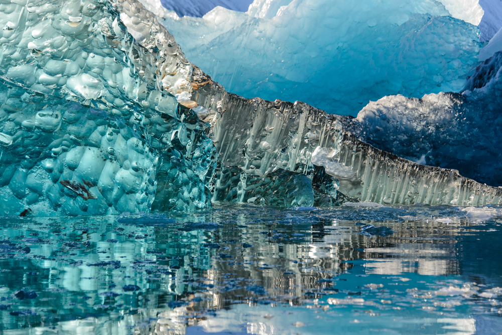
Far beneath the desolate, freezing surface of East Antarctica, a staggering geological secret has been locked away in absolute darkness for millions of years. Under a mile of solid ice, scientists have uncovered a pristine, prehistoric landscape perfectly frozen in time—a haunting snapshot of a forgotten era when the most hostile continent on Earth was teeming with life.
Contents
show
But this subterranean discovery is far more than just a breathtaking window into the planet’s past. As the globe continues to warm, the mysteries sleeping within this buried world hold the vital clues needed to understand the rapidly approaching future of our own.
Unearthing a Prehistoric Landscape in East Antarctica
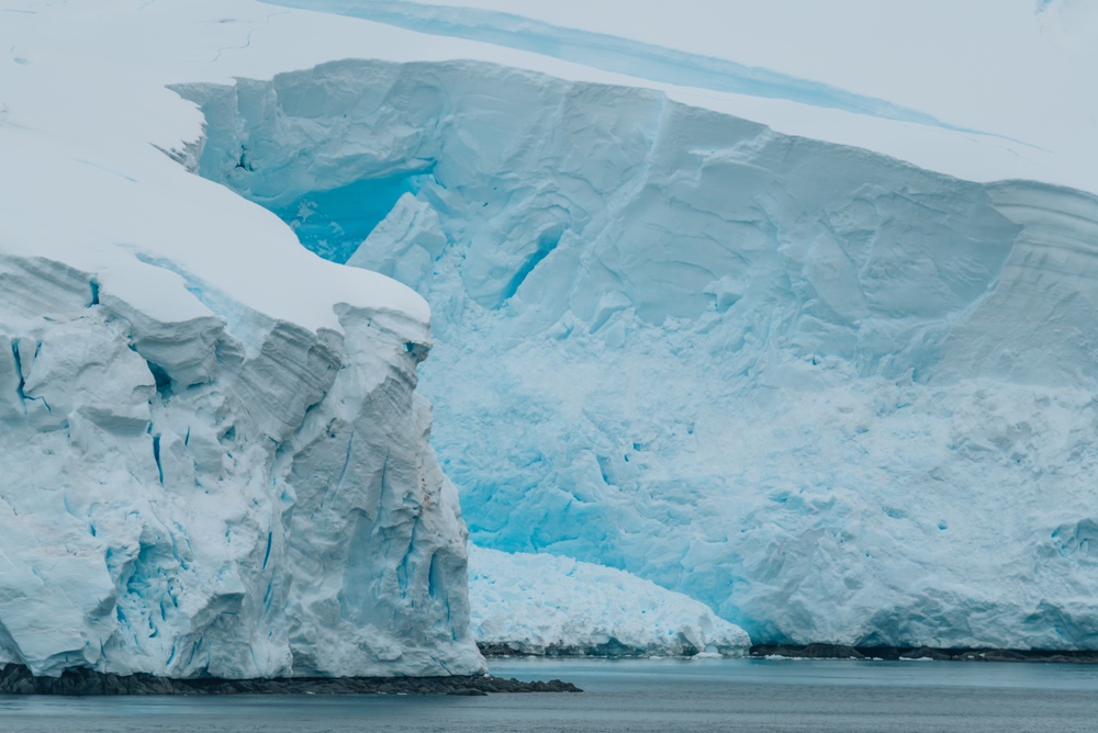
Deep beneath the frozen expanse of East Antarctica’s Wilkes Land, a prehistoric landscape has remained entirely untouched by sunlight for more than 34 million years. Buried under nearly 1.2 miles (two kilometers) of solid ice, this newly mapped terrain covers approximately 12,000 square miles—an area roughly the size of Maryland.
Instead of a flat, featureless bedrock, researchers discovered a dramatic and complex topography. The subterranean terrain features three massive blocks of elevated land, each stretching between 75 and 105 miles in length. These landmasses are separated by sweeping valleys that span up to 25 miles wide and plunge almost 4,000 feet deep. Crucially, the geological patterns of these channels and ridges indicate they were carved by powerful, flowing rivers over millions of years, rather than by the grinding force of glaciers.
This geological revelation was made possible by advanced remote sensing. A research team led by glaciologist Professor Stewart Jamieson at Durham University utilized the Canadian RADARSAT satellite system to detect minuscule dips and bumps on the surface of the ice. Because ice flows over buried terrain much like a bedsheet draped over furniture, these subtle surface undulations hint at the massive structures below. The team then confirmed the satellite data with airborne radio-echo sounding, sending radar pulses straight through the ice to map the bedrock’s exact shape.
“This finding is like opening a time capsule,” Professor Jamieson noted when the discovery was published in Nature Communications. Emphasizing the mystery of the continent’s subterranean world, he added, “The land underneath the East Antarctic ice sheet is less well-known than the surface of Mars.”
When Antarctica Was Green
To understand the sheer significance of this subterranean discovery, one must look back to an era when Antarctica was anything but a frozen wasteland. Following the continent’s separation from Australia approximately 80 million years ago, East Antarctica experienced a remarkably warm and hospitable climate. Depending on the specific epoch, conditions ranged from the cool, temperate environment of modern-day Patagonia to something closely resembling a tropical climate. In fact, scientists have previously discovered fossilized palm tree pollen along the Antarctic coast, painting a vivid picture of a landmass once blanketed by lush forests.
During this temperate window, the Wilkes Land terrain was a dynamic, living ecosystem. Its sweeping valleys and towering ridges were systematically carved by vast river networks flowing toward the newly formed continental coastline. “The landscape is like a snapshot of the past,” Jamieson explained, emphasizing that these deep riverbeds were shaped over an immense period of geological time. While the region’s incomplete fossil record leaves the exact wildlife a mystery, the presence of sprawling forests strongly suggests a diverse prehistoric animal population thriving where there is now only ice.
This vibrant world came to a halt roughly 34 million years ago during the Eocene-Oligocene transition. As the global climate cooled rapidly, small glaciers began forming on the hills alongside these rivers. Eventually, a massive ice sheet expanded to cover the entire continent. However, instead of violently scraping and destroying the ancient river valleys—the typical behavior of advancing glaciers—the temperature at the base of the ice plummeted. Researchers note that it functioned much like switching on a deep freezer, perfectly sealing the topography in place while the rest of the continent was aggressively reshaped by glacial erosion.
“It is remarkable that this landscape, ‘hidden in plain sight’ for many years, can tell us so much about the early and long-term history of the East Antarctic Ice Sheet,” noted study co-author Professor Neil Ross of Newcastle University. By locking this ancient river system in suspended animation, the deep freeze has inadvertently provided scientists with an invaluable, untouched window into the Earth’s climatic history.
A Hidden Roadmap for Sea Level Rise
While discovering a lost world under the ice is a geological marvel, its true value lies in what it reveals about the planet’s immediate future. Earth’s climate is currently warming at a pace that puts global temperatures on track to reach levels last seen between 14 and 34 million years ago—an era when the world was up to 12.6 degrees Fahrenheit (7 degrees Celsius) hotter than it is today. To accurately predict how the massive East Antarctic Ice Sheet will react to these incoming conditions, scientists desperately need to know what lies beneath it.
The stakes are extraordinarily high. The East Antarctic Ice Sheet is the largest body of ice on the planet, and the specific basin sheltering this ancient landscape contains enough frozen water to raise global sea levels by more than 25 feet. If even a fraction of this ice destabilizes, coastal communities worldwide would face severe flooding.
This is where the ancient topography comes into play. The physical shape of the bedrock acts as a direct control mechanism for glacial movement. Deep, sweeping river valleys can function as frictionless superhighways, allowing melting ice to flow rapidly toward the ocean. Conversely, the towering ridges of an ancient landscape act as natural brakes, slowing down retreating ice and blocking warm, intruding seawater from eating away at a glacier’s base.
Without a detailed map of this subterranean terrain, predicting the speed of sea level rise is largely guesswork. As Professor Jamieson points out, “That landscape controls the way that ice in Antarctica flows, and it controls the way it might respond to past, present and future climate change.”
Filling the Blank Spots on the Map

Despite the magnitude of the Wilkes Land discovery, this 12,000-square-mile time capsule represents just a fraction of the Antarctic continent. Covering a total of 5.4 million square miles, Antarctica remains the least mapped landmass on Earth. The success of using subtle surface ice undulations to detect deep bedrock structures, however, has provided researchers with a proven blueprint to uncover other hidden topographies.
The subglacial environment of Antarctica is not entirely static. Over the past few decades, scientists have identified a sprawling, active hydrological network beneath the ice, comprising more than 400 subglacial lakes—including the massive Lake Vostok—interconnected by rivers of liquid water. This modern subglacial plumbing system exists in stark contrast to the ancient, frozen-in-time river valleys of Wilkes Land.
Understanding how these two systems interact is the next major frontier for glaciologists. Liquid water at the base of an ice sheet acts as a natural lubricant. If active subglacial rivers intersect with the deep, frictionless channels of an ancient topographical landscape, the combination could theoretically create high-speed corridors for ice to slide toward the ocean. Mapping the remaining uncharted territories is therefore not just an archaeological curiosity; it is a vital step in mapping the continent’s hidden pressure points.
The Wilkes Land landscape is likely not an isolated anomaly. Researchers suspect that other intact prehistoric terrains exist beneath the East Antarctic Ice Sheet, waiting to be identified. As Professor Jamieson noted regarding the team’s future work: “We’ll continue exploring the landscape, doing our best to fill in gaps where surveys don’t exist, and using these new insights to understand how the ice sheet and its underlying landscape have changed over their long history.”
By meticulously piecing together satellite data and conducting targeted radar flights over the continent’s remaining “blank spots,” scientists are steadily pulling back the curtain on a subterranean world that has been hidden for 34 million years.
Secrets the Ice Must Keep
A hidden world rests in absolute darkness under the crushing weight of East Antarctica. For 34 million years, this ancient landscape has slept in perfect silence, untouched by wind, sun, or time. Yet, this frozen relic is more than a geological marvel—it is a quiet oracle.
As global temperatures climb toward levels not seen since these valleys were green, the ice above them grows restless. The physical shape of this buried terrain dictates exactly how the surrounding glaciers will flow, break, and eventually bleed into the oceans. The ice locked above this single basin holds the power to redraw every global coastline.
Keeping this prehistoric landscape buried is the ultimate climate imperative. The deep freeze that has safeguarded these ancient rivers for millennia now depends entirely on aggressively halting greenhouse gas emissions. Some secrets belong in the dark. If the ice finally shatters and this lost world is forced back into the light, the modern world will bear the flood.