
Your cart is currently empty!
Rewilded Valley Stays Lush Green While England Turns Brown During Record Drought
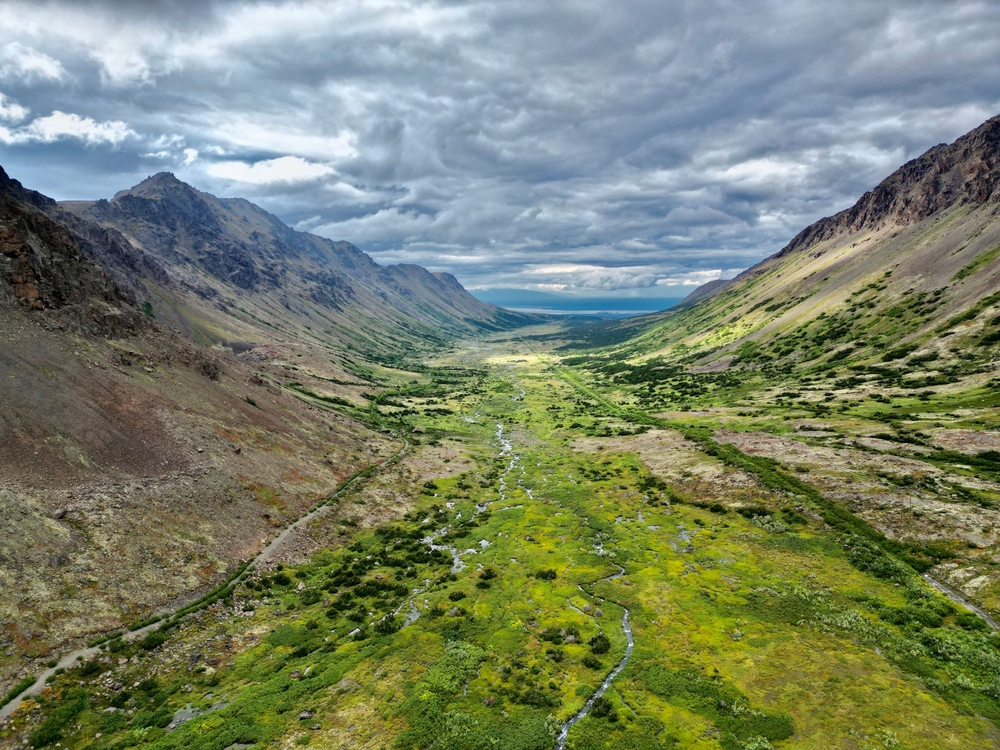
Imagine flying over West Somerset in August 2026 and looking down at a landscape that has been baked dry by one of the most extreme summers on record. Field after field has turned brown after the driest July England has ever recorded. Then, cutting through the parched countryside, one valley stands out like it belongs somewhere else entirely. It is green, wet and still holding water. Aerial images of the National Trust’s Holnicote Estate on Exmoor have exposed a striking contrast, raising one obvious question: why did this stretch of land survive the drought so differently from everything around it? The answer involves thousands of tonnes of soil, a radical river restoration project and a group of beavers.
Contents
show
Ben Eardley, the project manager behind the work on the floodplain, believes what happened at Holnicote could carry lessons far beyond one estate. “Nature is providing solutions to some of the biggest challenges facing society today,” he said. The lush landscape was not kept alive by irrigation or luck. Instead, the valley had been deliberately redesigned to hold onto water rather than send it rushing downstream. Years before England’s record-breaking drought hit, workers had begun undoing generations of drainage and river engineering.
Difference in the moor meadow to the rising hill…though all the rhynes are empty. Very few cattle out as little water, which has to be brought in. pic.twitter.com/K1TCKC9RwU
— Keith Bolling (@BollingKeith) August 22, 2026
England Recorded Just 6.5mm Of Rain In July
England received just 6.5mm of rain across the whole of July 2026, around 10% of the usual monthly average and less than half the previous record low of 13.4mm set in 1911. The Met Office’s rainfall records stretch back to 1836, making the scale of the dry spell difficult to ignore. Southern England was hit even harder, receiving only 1.9mm of rain during the month. By August 10, 71.3% of England had been declared in drought, with around 45 million people living inside drought areas and more than 27 million facing water restrictions. Five heatwaves had already crossed the summer, and large areas of the country were visibly drying out.
Holnicote sat in the middle of those conditions, yet the aerial images showed something completely different. The restored floodplain remained green and wet while much of the surrounding countryside had turned brown. That contrast was the result of a project that began years earlier and focused on one simple idea: stop treating water as something that needs to leave the landscape as quickly as possible.
Workers Put 4,000 Tonnes Of Earth Back Into The River
The Holnicote Estate covers around 12,500 acres, and since 2018 the National Trust’s Riverlands team has been working to reverse decades of intensive river management. A 1.2km stretch of the River Aller had previously been straightened and deepened so that water could move rapidly away from the surrounding land. The restoration team did the opposite. More than 4,000 tonnes of soil were placed back into the channel, while 600 tonnes of timber were installed across roughly 15 hectares of floodplain to slow and spread the water.
The approach is known as Stage 0 restoration, a technique first developed on creeks in Oregon. Instead of trying to maintain a single, deep river channel, the project allows water to move across the wider valley floor through shallow and interconnected routes. Eardley has described the process as “the ‘ctrl, alt, delete’ equivalent of a computer reset”. He said: “For generations as a nation we’ve drained wetlands, straightened rivers and moved water off the land as quickly as possible. Here we’ve reversed that approach and the results are remarkable.”
The River Changed From A Pipe Into A Sponge
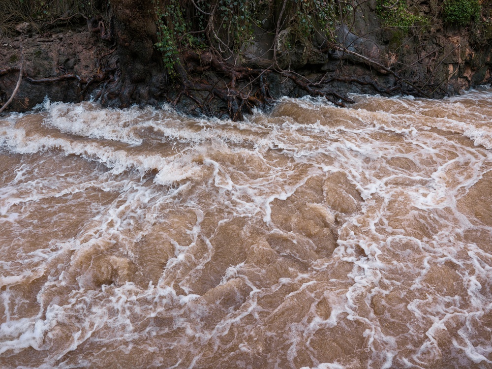
Once freed from its narrow trench, the River Aller began behaving very differently. Water spread across the floodplain and found multiple shallow routes instead of being forced through one deep channel. Pools formed, groundwater levels rose and water remained in the landscape for longer. Monitoring found groundwater had increased by more than a metre in some areas, while seven hectares of new waterscape and wetland appeared. The aquatic habitat at the site grew from 0.18 hectares to 3.42 hectares, an increase of 1,780%.
Dr Richard Mason of Umeå University, who has monitored the site, summed up the transformation by saying: “The river has transformed from a pipe into a sponge.” Ranger Jack Siviter used slightly different language, saying the site “has gone bananas in terms of the amount of wildlife and lush vegetation growth that we’ve seen”. The floodplain now stores water when it is plentiful and releases it slowly over time. That process helped create the striking green landscape seen during one of England’s driest summers.
The changes recorded at Holnicote include:
- Higher groundwater levels: Some areas saw water levels rise by more than a metre.
- More wetland habitat: Seven hectares of new waterscape emerged across the floodplain.
- More aquatic habitat: The area increased from 0.18 hectares to 3.42 hectares.
- Slower water movement: Stormwater now spreads across the landscape instead of rushing downstream.
- Healthier vegetation: Soil retains moisture for longer during dry periods.
Flood Peaks Fell By Around 40%
The same changes helping Holnicote stay green during drought have also affected flooding. Two years of monitoring found average flood peaks downstream had been reduced by around 40%, while turbidity below the restoration site also fell by more than 40%. Water is now released from the valley later, more slowly and with less sediment, reducing pressure on communities downstream including Allerford and Bossington.
That connection between floods and drought is central to what makes the project so unusual. A landscape that can absorb and hold large amounts of water during heavy rainfall has more moisture available when dry conditions arrive months later. The system that slows a winter storm can also keep vegetation alive during a summer drought. Rather than sending rainfall away as quickly as possible, the restored floodplain stores part of it in soil, wetlands and shallow channels.
There are limits to what the aerial images alone can prove. Holnicote is one catchment, and some of the monitoring figures come from National Trust work carried out alongside academic partners rather than a controlled trial. A photograph can show a dramatic difference without proving every reason behind it. Still, the contrast is hard to miss: one restored floodplain held onto enough water to remain visibly green during England’s driest July on record.
Beavers Are Now Helping Shape The Landscape
Beavers became part of the Holnicote project in 2020, when the National Trust introduced a pair into an enclosure. It was the first time the charity had released beavers anywhere. A second enclosure followed, allowing the animals to begin reshaping parts of the landscape through their natural behaviour.
In February 2026, a family of beavers and another pair were released into the wider estate under licence from Natural England. The animals were translocated by the Beaver Trust, with further releases expected to follow. Beavers naturally dam waterways, dig channels and fell trees, creating pools and wetland areas that can retain water. Eardley said: “Beavers are extraordinary partners in our work to restore nature at scale.”
Their work fits directly into the wider restoration effort. Beavers create obstacles that slow water, encourage it to spread and increase the amount of moisture held across the landscape. The changes can look messy compared with a traditionally managed river system, but that mess is part of the point. A floodplain filled with pools, channels, fallen timber and wet vegetation can behave very differently from a straight, engineered watercourse.
Cattle Are Still Grazing The Restored Wetland
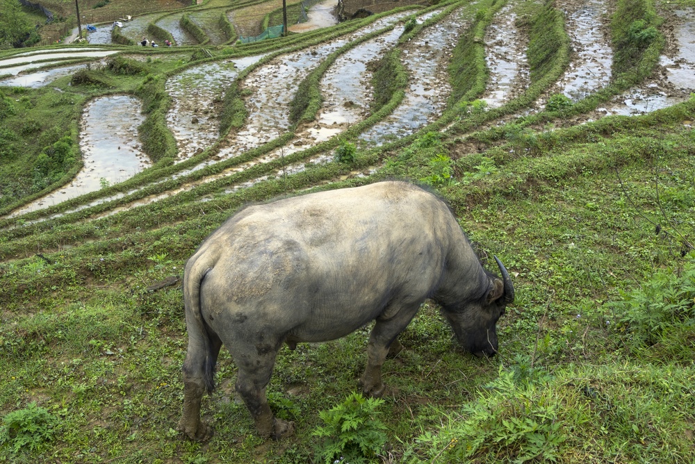
The restoration has not meant taking the entire landscape out of agricultural use. Holly Purdy, a National Trust tenant farmer at Holnicote, has incorporated the wetland restoration area into her farming operation. “This year, we entered a grazing agreement to bring cattle onto the wetland restoration site at Holnicote, helping to build a more diverse grazing platform and increase resilience within our farm,” she said.
The argument behind the approach is that allowing some areas to become wetter can improve resilience across the wider landscape. Eardley has said farmers could have “better, lusher grazing for longer” when groundwater levels are healthier and soil retains more moisture. That does not mean every field becomes a wetland. Instead, the project is testing whether a more varied landscape can support both nature restoration and farming while coping better with extreme weather.
For a country facing more frequent periods of drought and intense rainfall, that balance could become increasingly important. The Holnicote project is built around changing how land responds to water rather than relying entirely on conventional drainage systems designed to move it away.
Wildfire Questions Have Also Sparked Debate
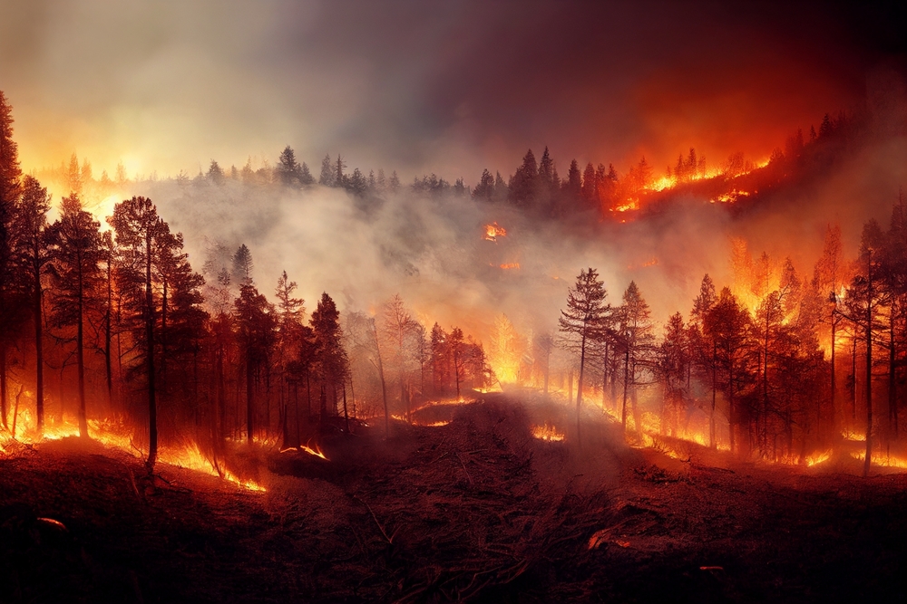
The wider debate around rewilding has become more complicated as Britain experiences hotter and drier summers. During the summer of 2026, a wildfire ripped through lowland heath at Dunwich, another National Trust site, prompting criticism from some commentators who argued that rewilding can increase the amount of vegetation available to burn.
Researchers at the University of Manchester have acknowledged the concern directly. They wrote: “Rewilding is often presented as a wildfire problem; when you stop grazing, cutting or burning, vegetation accumulates and there is more fuel for fires.” However, their research argues that carefully planned rewilding can also make landscapes wetter, patchier and more resistant to fire. The condition of Britain’s peatlands is a major factor. Nearly 80% of England’s peatlands are dry and degraded, while only around 1% are dominated by water-retaining species such as Sphagnum mosses.
Holnicote has not yet faced a major wildfire that could test how its restored floodplain performs under those conditions. The site should not be treated as proof that every rewilding project automatically prevents fires or drought. Its significance lies in something more specific: the landscape held onto water through an extreme dry period, while much of the countryside around it visibly dried out.
Britain Has Lost More Than 90% Of Its Wetlands
The UK has lost more than 90% of its wetlands over the past century, leaving far less land capable of naturally storing water. Holnicote represents only a small attempt to reverse that trend, but the drought images have given people a clear view of what restored wetlands can do. Rain that fell months earlier was still present in the valley’s soil, channels, pools and wetland areas instead of having been rapidly drained away.
That is why the valley remained green while so much of England turned brown. Harry Bowell, the National Trust’s director of land and nature, described the summer as “a stark warning of how our weather systems are changing” and said climate change “is no longer something of the future”. At Holnicote, the answer was visible from the air: the land had been redesigned to keep its water, and during a record drought, it showed exactly what that difference can look like.