Your cart is currently empty!
Satellite Image Reveals a Sudanese Hill That Looks Like a Kiss From Earth
A strange formation in the Sudanese desert has turned an ordinary satellite image into a surprisingly memorable view of Earth. From above, the hill looks uncannily like a giant pair of human lips, giving the impression of a kiss aimed toward space.
Contents
show
The feature has been informally nicknamed Landlocked Lips, and it is easy to see why. It is remote, naturally shaped, and still not fully understood, which gives the image the rare mix of visual curiosity and genuine geological mystery.
The Desert Formation That Looks Like Human Lips
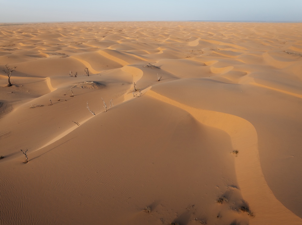
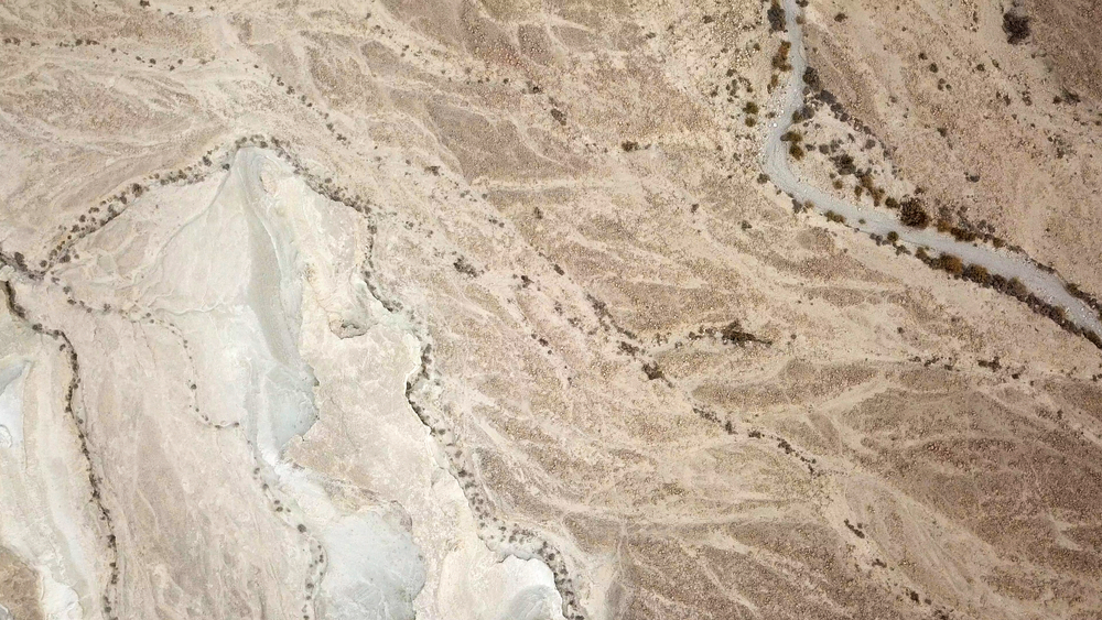
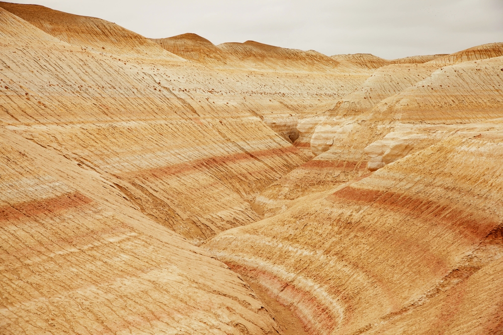
The unusual hill was highlighted by Live Science after being captured in a 2012 Google Earth satellite image. It is located in Sudan’s West Darfur state, roughly 60 miles east of the border with Chad, and measures about 3,000 feet long and 1,200 feet across at its widest point.
The formation stands out because its central ridge and sloping sides create a shape that looks strikingly familiar from above. Its older satellite view showed pinkish slopes against drier surrounding land, which helped sharpen the mouth-like outline and made the resemblance even harder to miss.
The hill does not appear to have an official name or a detailed scientific study attached to it yet. That lack of formal explanation has helped the image travel online, but the most plausible answers point toward ordinary geological forces rather than anything artificial.
Where Landlocked Lips Were Found
The coordinates reported for the hill place it in a rural part of West Darfur, near agricultural fields and scattered vegetation. In the 2012 image, the land around the feature appeared dry and sparsely covered, while later satellite views reportedly show more greenery in the surrounding area.
That change matters because satellite images capture landscapes at a specific moment in time. Rainfall, drought, crop cycles, and seasonal vegetation can all change the way a feature appears from above without changing the underlying shape of the land itself.
This is also part of why the Sudanese hill became so visually compelling. A ridge that might seem ordinary from ground level can look remarkably different from orbit, especially when color, shadow, vegetation, and scale work together in one image.
The Geological Explanation Researchers Are Considering
Josh Roering, a geomorphologist at the University of Oregon, told Live Science: “I see a narrow unit of exposed rock running down the middle of this feature.” He added: “It looks like there’s a dike or narrow unit of resistant rock running through the middle of that ridgeline that erodes more slowly than the surrounding rock and thus sticks out.”
That explanation fits what can be seen in the satellite image. If a harder band of rock runs through the ridge, it could resist erosion while the softer rock around it wears down over time, leaving a raised feature that controls the shape of the slope.
Roering’s interpretation is careful rather than definitive. The hill has not been widely studied on the ground, so researchers would still need field observations, rock samples, and structural mapping before confirming exactly how it formed.
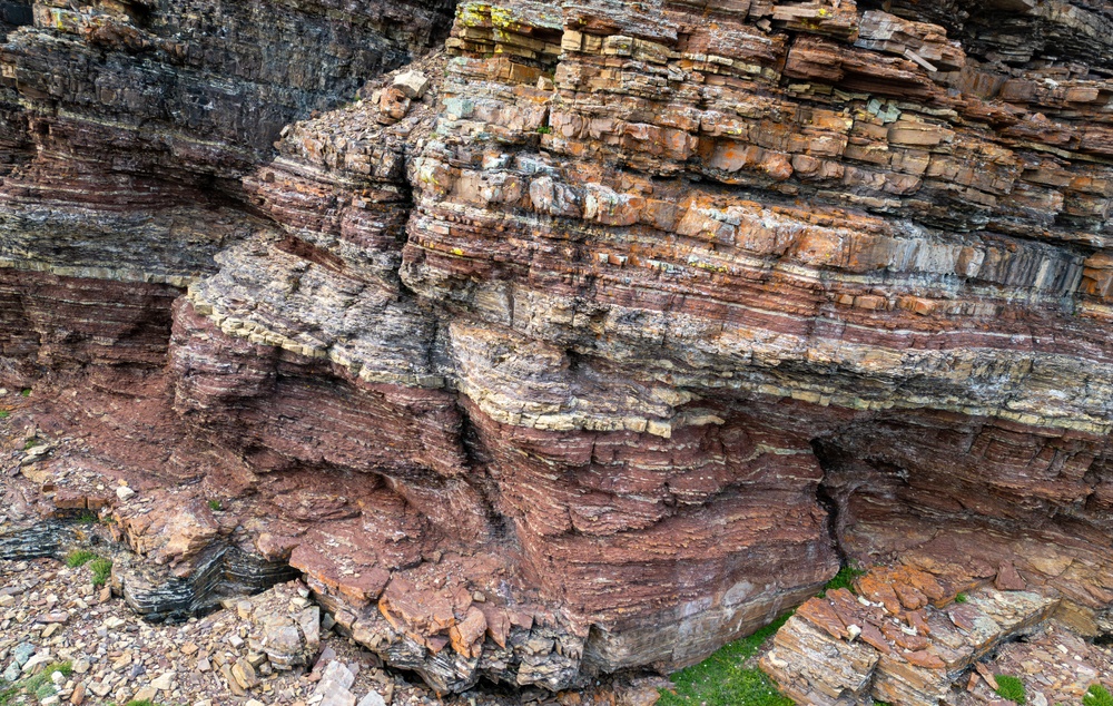
What a Dike Is in Geology
In geology, a dike is a sheet-like body of rock that cuts across older rock layers. The European Geosciences Union describes dikes as features that commonly form when magma moves through fractures in the crust, although dikes can also have other origins depending on the setting.
This matters for the Sudanese hill because dikes often behave differently from the surrounding rocks. If the material in the central ridge is tougher, denser, or more resistant to weathering, it can remain standing while nearby rock breaks down more quickly.
That process can eventually create the kind of long, narrow ridge visible in satellite imagery. It does not prove that Landlocked Lips is a dike, but it gives geologists a reasonable starting point for explaining why the feature has such a defined central line.
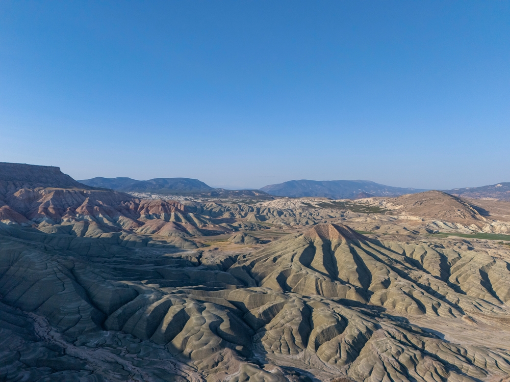
Why Erosion Can Make Familiar Shapes
The forces that shape landscapes rarely work evenly. Wind, water, heat, and chemical weathering can remove softer material faster than harder material, creating ridges, walls, and slopes that look unusually deliberate from above.
The New Mexico Bureau of Geology and Mineral Resources explains that many dikes are more resistant to erosion than the rocks they intrude. When those surrounding rocks are worn away, the dikes can remain as sheet-like or wall-like landforms.
A similar principle may be relevant in Sudan, even if the exact rock type has not yet been confirmed. The central ridge could define the shape of the hill, while color differences, vegetation patterns, and shadows make the outline look more like human lips in satellite imagery.
Why Satellite Images Keep Finding Strange Landmarks
Google Earth and similar platforms have changed how people encounter remote places. Features that might once have been known only to local communities, pilots, geologists, or map specialists can now be noticed by anyone scanning the planet from a screen.
That wider access has also made natural pattern recognition part of modern internet culture. People often spot hearts, faces, animals, eyes, or body-like shapes in cliffs, islands, deserts, and cloud formations because the human brain is quick to connect random patterns with familiar objects.

That does not make Landlocked Lips any less interesting. It simply means the viral reaction and the geological explanation can both be true at the same time: the hill looks like a pair of lips, and it may also be the product of ordinary rock structure and erosion.
Similar Landforms Offer Clues
Long, resistant rock features occur in many parts of the world, including volcanic and tectonically shaped landscapes. Live Science noted comparisons with dike-related formations in places such as New Mexico and the Mackenzie dike swarm in Yukon, Canada, where narrow rock bodies can stand out after surrounding material erodes.
Those examples do not provide a direct answer for the Sudanese formation, but they show that unusual ridges can have straightforward geological causes. Over time, erosion can reverse the apparent importance of a landscape, leaving former fractures or intrusions more visible than the rock that once surrounded them.
The main limitation is that satellite comparison can only go so far. Without fieldwork, researchers cannot say whether the feature is volcanic, sedimentary, tectonic, or shaped by a combination of processes that only look simple from space.
The Mystery Is Real, But It Has Limits
The most interesting version of this story is also the most careful one. The hill really does resemble a giant kiss from space, but there is no confirmed evidence that it was shaped by anything other than natural processes.
Roering told Live Science that, if the dike idea is correct, “the shape and extent of that resistant rock unit thus sets the scale of the feature as the less resistant surrounding rock forms sloping terrain on either side.” He also said that, without closer study, the idea remains “speculation.”
That caution keeps the story grounded. Landlocked Lips may be visually strange, but the best explanation so far is a landscape shaped slowly by rock strength, erosion, seasonal conditions, and the perspective of a satellite image.
What This Strange Hill Shows About Earth
Landlocked Lips is not just a funny satellite discovery. It is a reminder that Earth can look unexpectedly human when seen from the right distance, even when the explanation is rooted in slow natural change.
The shape is viral because it looks familiar, but the science is compelling because it points to time, weathering, and rock structure working together over long periods. For now, the Sudanese hill remains a rare image that earns both reactions at once: a double take first, and real curiosity after.