
Your cart is currently empty!
A Powerful El Niño Could Transform Winter Across The US
Something unusual is building over the Pacific, and its effects could stretch across much of the United States as fall gives way to winter. Forecasters expect the developing El Niño to strengthen significantly, potentially becoming one of the strongest events seen in decades.
Contents
show
That could mean a very different winter depending on where you live. California and parts of the South may face heavier rain and flooding threats, while northern states could see warmer temperatures, drier conditions and less snow.
A Strong El Niño Is Taking Shape Over The Pacific
El Niño begins when ocean temperatures along the equatorial Pacific become warmer than average. The additional heat changes atmospheric circulation, shifting winds and the jet stream that guides storms across North America.
The developing 2026-2027 event is expected to strengthen through the fall before reaching maximum strength in late fall or early winter. Recent forecasts cited in the source material put the odds of reaching the highest strength category above 90%, while some forecasters have suggested it could become one of the strongest El Niño events on record.
NOAA does not officially use the term “Super El Niño.” The phrase is commonly used by meteorologists and forecasting organizations to describe an exceptionally strong El Niño, while NOAA classifies events using strength categories such as strong and very strong.
A powerful event can make certain seasonal weather patterns more likely, but it cannot guarantee what happens in a particular city. Individual storms, temperatures and atmospheric conditions will still determine the actual weather people experience.
Nat Johnson, a meteorologist with NOAA’s Geophysical Fluid Dynamics Laboratory, described the potential strength of the event as “something that’s very unusual, if not a once in a lifetime type of (strength).” The unusually warm Pacific waters are therefore being watched closely as the colder season approaches.
California Could Face A Wet And Dangerous Winter
California is one of the states attracting the most attention because strong El Niño events can steer powerful Pacific storms toward the coast. Forecast models cited in the source material give coastal California a 70% to 100% chance of above-average rainfall, although the exact outcome will depend on how the event develops.
Southern California could begin seeing stronger rainfall signals as early as November, with the potential for heavier precipitation increasing into December. A series of powerful storms could bring much-needed water to parts of the state, but the same moisture can create dangerous flooding when it arrives too quickly.
Coastal communities face an additional concern because heavy storms can combine with high tides and elevated water levels. Daniel Swain, a UCLA climate scientist, said a very strong El Niño shifts the odds toward a wetter winter and could increase coastal flooding risks during strong storms or king tide events.
California has already experienced severe consequences during past El Niño winters. During the 1982-83 event, 33 oceanfront homes were destroyed and another 3,000 residences were damaged, while the 1997-98 El Niño brought massive flooding and 17 storm-related deaths.
The 2015-16 El Niño also produced record coastal erosion along California beaches. Mark Merrifield of the Scripps Institution of Oceanography warned that reduced beach width can leave waves with greater access to the shoreline, increasing the potential for flooding and damage to coastal cliffs.
The coming winter will not necessarily repeat those historic events. A strong El Niño raises the likelihood of wetter conditions, but it does not determine the severity of every storm that reaches the state.
The Southern States Could See More Rain And Severe Weather

The southern half of the country is another region expected to experience a noticeable El Niño influence. The climate pattern typically pushes the jet stream farther south, creating a pathway for more storms across parts of California, the southern Plains and the Southeast.
Early forecasts show large parts of the South leaning toward above-average precipitation. The strongest confidence is currently centered on the Southeast, although the exact boundary between wetter and drier conditions can shift as the season develops.
Parts of Texas and the Tennessee Valley could begin seeing changes during late October and November. Forecasters expect more upper-level low-pressure systems to move into the region, increasing opportunities for rainfall and potentially flooding.
Florida faces an additional threat because El Niño winters have historically been associated with increased severe weather in central and southern parts of the state. NOAA records show greater tornado and flood activity during some El Niño winters, making Florida an area that meteorologists will be watching closely.
The 1998 El Niño offers a particularly serious example of what can happen. An outbreak of unusually strong tornadoes across the region killed 42 people and caused more than $100 million in damage.
The Gulf Coast does not necessarily experience the same pattern as Florida. Climate scientist Michael Tippett has noted that other portions of the Gulf Coast can become less active than normal during El Niño winters, showing why regional forecasts are more complicated than simply labeling an entire season as wet or stormy.
The Northern US Could Be Warmer And Drier
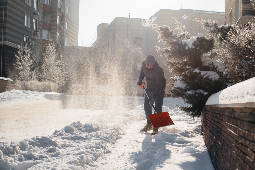
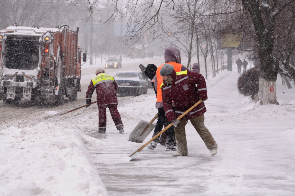
The story changes dramatically across the northern United States. Strong El Niño winters typically favor warmer and drier conditions across the northern tier, and current forecasts are showing signs of that familiar pattern.
The outlook points toward above-average temperatures across a large section of the country. The Pacific Northwest through parts of the Midwest could be particularly susceptible to warmer conditions, while the Great Lakes and Upper Midwest may also trend drier as fall progresses.
That combination could have major consequences for snowfall. Warmer temperatures and reduced precipitation generally create fewer opportunities for widespread snow, although individual storms can still produce significant accumulations.
The current climate background makes the snowfall outlook even more complicated. According to Climate Central, annual snowfall amounts have declined in nearly two-thirds of the United States since 1970, while winter has become the fastest-warming season for much of the country.
A strong El Niño therefore arrives on top of a warming climate. Historical El Niño patterns remain useful, but today’s temperatures can change what happens when moisture and cold air collide.
A storm that once would have produced widespread snow may now produce more rain at lower elevations. That does not mean snow disappears, but it can shift where the heaviest accumulations occur and how long snow remains on the ground.
Ski Resorts Could See A Very Different Winter
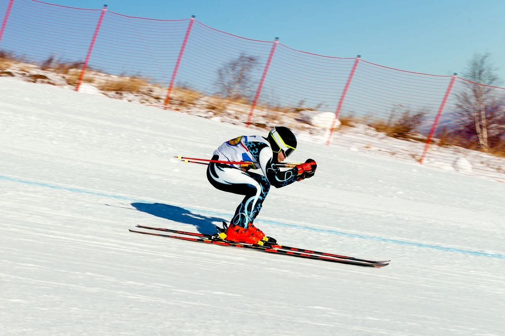
For skiers and snowboarders, the developing pattern is far from uniformly bad. Several major mountain regions could benefit from the stronger Pacific storm track, particularly in California and Utah.
The central Sierra Nevada has historically performed well during strong El Niño events. Utah’s Wasatch Range can also receive frequent snowstorms under favorable El Niño conditions, giving parts of the western ski industry reason to watch the developing pattern closely.
Forecasts cited in the source material suggest California and Utah could be among the states with the strongest chances for above-average snowfall in mountain locations. Repeated Pacific storm systems could deliver substantial precipitation to the Sierra Nevada and parts of the southern Rockies.
Colorado presents a more uncertain picture because its ski areas sit near a transition zone between wetter and drier storm tracks. Some resorts could receive excellent snowfall, while others may see a less consistent pattern over the full season.
Conditions farther north may be less favorable. Oregon, Montana and portions of the northern Rockies can experience below-average snowfall during strong El Niño winters, while much of the northern United States, Great Lakes and Northeast could also finish the season with less snow than normal.
Temperature is another major factor for ski country. Even when a storm brings plenty of moisture, warmer air can cause more precipitation to fall as rain instead of snow, particularly at lower elevations.
Fall Could Reveal The First Signs Of The Pattern
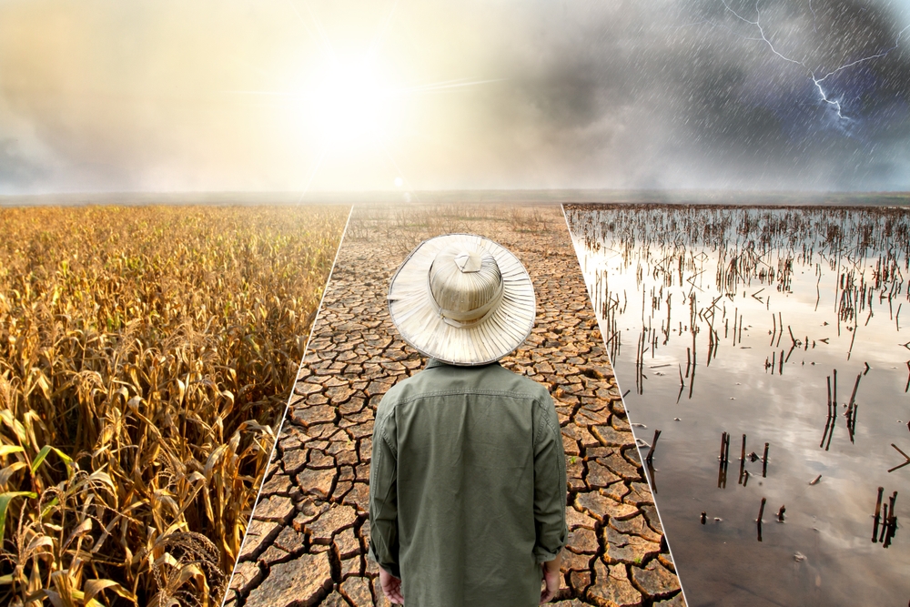
The biggest El Niño effects are expected during the colder months, but some clues could emerge much sooner. NOAA’s Climate Prediction Center expects most of the country to experience warmer-than-average temperatures between September and November.
The Pacific Northwest has one of the strongest signals for above-average temperatures. The Southwest and Southeast are more likely to receive above-average precipitation, while the Northeast and Pacific Northwest are leaning toward drier conditions.
Several states in the middle of the country have a much less certain precipitation forecast. Illinois, Indiana, Kentucky, Missouri, Ohio, Tennessee and West Virginia have roughly equal chances of experiencing above-average, below-average or average precipitation during the fall period.
Those early patterns do not prove that El Niño is responsible for every weather event. They can, however, provide clues about how the atmosphere is responding as the Pacific Ocean continues warming.
Forecasters expect the event to reach its strongest point in late fall or early winter. Its influence could then continue into early spring 2027, making the coming months particularly important for seasonal weather forecasting.
The Southwest and the region stretching from Texas toward the Tennessee Valley could begin seeing stronger El Niño-related changes around late October or November. Southern California could see heavier rainfall signals become more pronounced during November and December.
At the same time, drier conditions may become more established across the Great Lakes and Upper Midwest. The result could be a sharp contrast between wetter conditions across parts of the South and West and warmer, drier weather farther north.
Flooding Could Become A Major Concern
More rain does not automatically mean disaster, particularly in regions that have struggled with drought. The problem begins when large amounts of precipitation arrive faster than soil, rivers, reservoirs and drainage systems can handle.
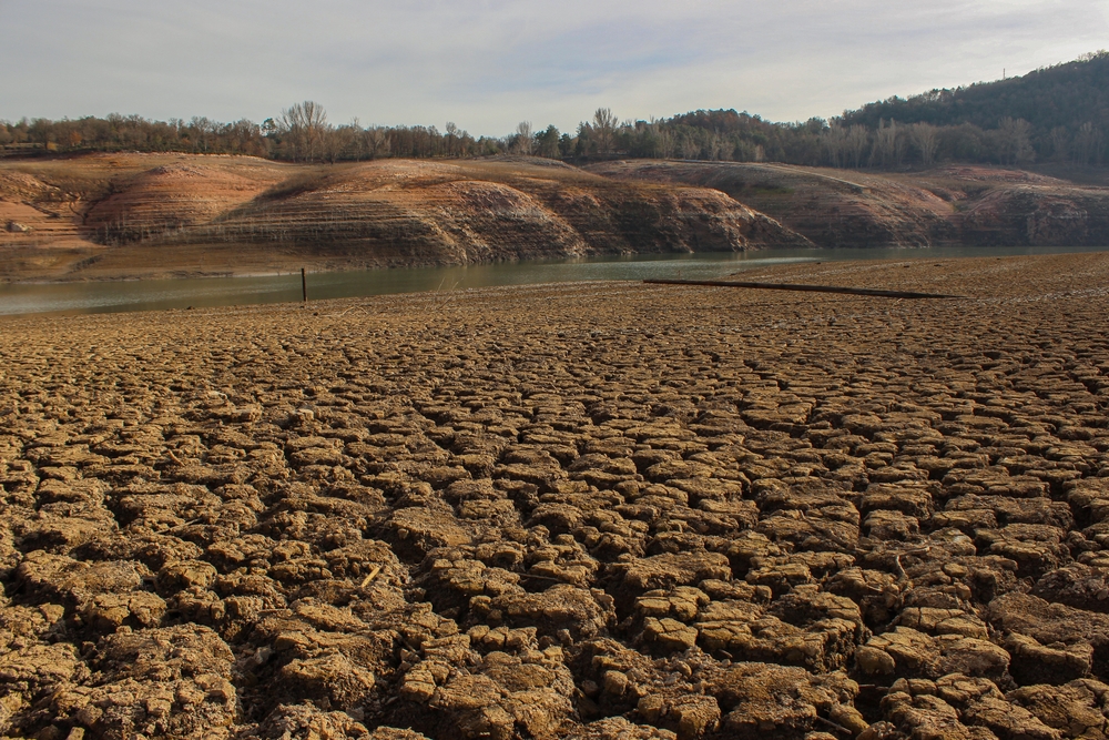
That concern is particularly relevant in parts of the West. Some southwestern reservoirs remain severely depleted, meaning an exceptionally wet season could improve water supplies while also producing dangerous flooding.
Joel Lisonbee, a senior associate scientist at the Cooperative Institute for Research in Environmental Sciences at the University of Colorado Boulder, warned that eliminating drought would require an exceptionally wet period. He also noted that such conditions could bring flooding, destruction and potential loss of life.
California faces a similar balancing act. Heavy winter precipitation can provide valuable water after dry periods, but powerful atmospheric river storms can overwhelm infrastructure and produce landslides, river flooding and coastal damage.
The same pattern can affect the Southeast in a different way. More frequent storms combined with the region’s severe-weather risk could increase the potential for flooding and tornadoes during parts of the winter.
That is why seasonal forecasts are useful even when they cannot predict individual storms. Knowing that the odds are shifting can give communities more time to inspect drainage systems, prepare emergency plans and pay attention to flood-prone locations.
Climate Change Is Changing The Background Conditions
El Niño is a natural climate cycle, but it is developing against a very different climate background than previous generations experienced. Human-caused warming is influencing temperatures, snowfall and sea levels at the same time that the Pacific cycle is changing atmospheric circulation.
This distinction is particularly important when looking at winter snowfall. Warmer baseline temperatures mean that the same El Niño pattern can produce different results today compared with several decades ago.
The effects are also visible along the California coast. Merrifield said the temporary sea-level changes associated with a strong El Niño can provide a kind of stress test for communities that will face increasing coastal risks as the climate warms.
He described the event as an opportunity to identify vulnerabilities and prepare for future climate conditions. That makes the coming winter more than a seasonal weather story because the storms could reveal weaknesses in coastal infrastructure, drainage systems and other areas already under pressure.
The combination of a powerful natural climate cycle and long-term warming creates a complicated forecast. El Niño may determine where storms are more likely to travel, while the warmer background climate can influence whether those storms bring snow, rain, flooding or coastal erosion.
The Winter Will Not Look The Same Everywhere
The developing El Niño could become one of the strongest events in decades, but its effects will be sharply divided by geography. California and parts of the South are leaning toward a wetter winter, while the northern tier is more likely to experience warmth and dryness.
For California’s coast, the biggest concern is the possibility of repeated heavy storms arriving alongside high tides and vulnerable shorelines. Florida faces a different threat, with historical El Niño winters linked to increased severe weather, while mountain regions in California and Utah could benefit from increased snowfall.
The northern United States could experience the opposite problem, with warmer temperatures reducing snowfall opportunities in places that traditionally depend on cold winters. Climate change adds another complication by making it increasingly difficult for lower-elevation areas to maintain snow when temperatures rise.
The forecast will continue changing as the event develops, but the regional signals are already becoming clear. This winter may show just how dramatically one shift in the Pacific can reshape weather thousands of miles away, and it could also reveal which communities are prepared when the storms finally arrive.