
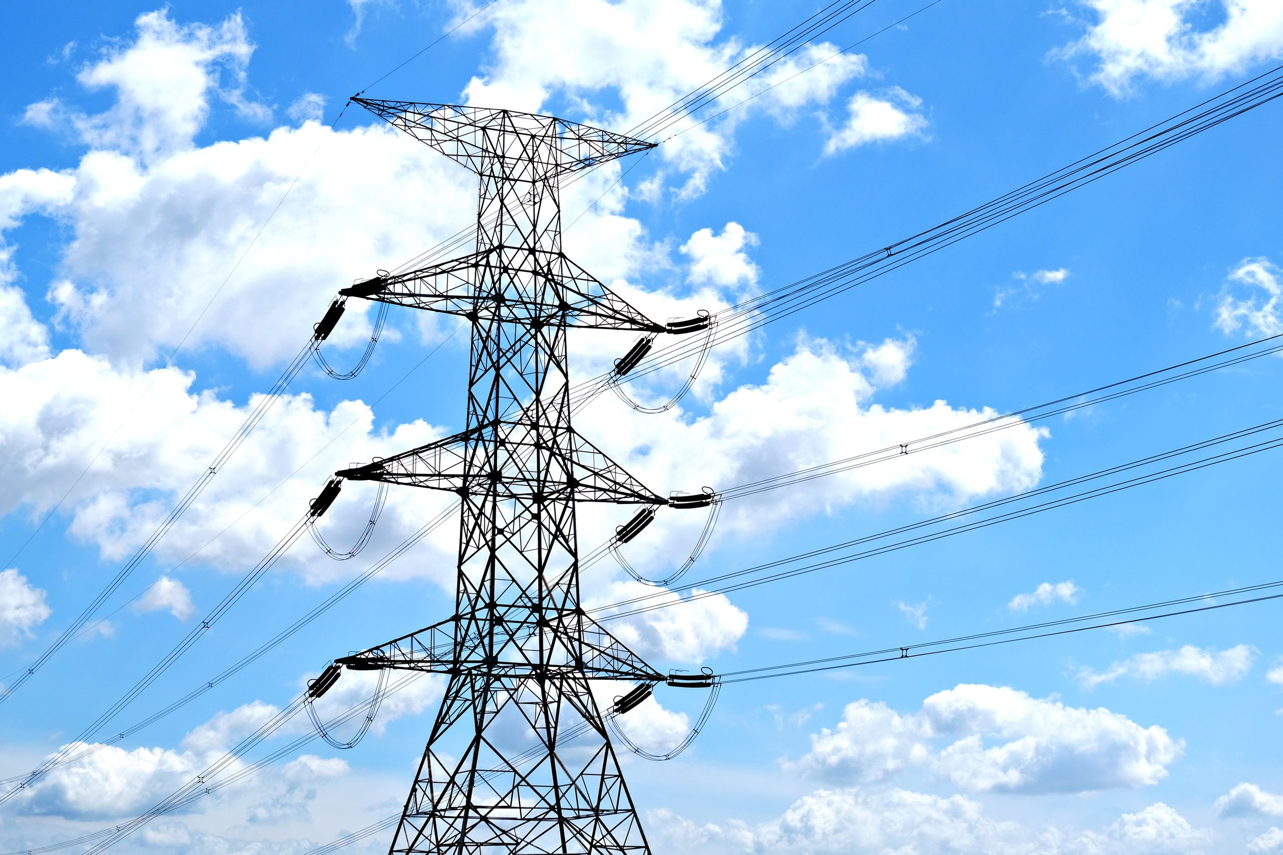
Residents across California, Oregon and Washington are being warned to prepare for potentially disruptive weather as a powerful atmospheric river approaches the US West Coast. The developing system could bring heavy rainfall, significant mountain snowfall and strong winds, creating conditions that may leave some communities facing flooding, dangerous roads and power outages.
The National Oceanic and Atmospheric Administration (NOAA) Climate Prediction Center has highlighted November 13 through 15 as an important period for potential impacts. Although the severity of the storm will vary depending on location and elevation, the combination of several weather hazards has raised concerns about possible disruption across the region.
Atmospheric River Could Bring A Triple Weather Threat
The approaching weather system has drawn attention because of the large quantities of moisture atmospheric rivers can transport. These natural weather phenomena can deliver substantial precipitation over relatively short periods, sometimes creating difficult conditions for communities that already face flooding risks.
California, Oregon and Washington are among the states identified in the latest forecast as facing potentially hazardous weather. Northern and central California could experience particularly heavy rainfall, while higher elevations across the region may receive significant snowfall. Coastal communities in Oregon and Washington are also being monitored for potentially damaging winds.
The combination of these conditions could create problems for infrastructure and transportation networks. Heavy rainfall can overwhelm drainage systems and cause rivers to rise, while strong winds may bring down trees and damage electrical infrastructure. Mountain snowfall could add another complication by making roads difficult to use and disrupting travel.
Power outages are among the potential consequences attracting attention. Strong winds can damage overhead power lines, particularly when trees and branches fall during severe weather. However, widespread outages have not been confirmed, and the eventual impact will depend on how the system develops.
The forecast also highlights why residents should pay attention to local warnings rather than assume every part of the three states will experience identical conditions. Weather severity can change considerably across relatively short distances, particularly when coastal areas, inland communities and mountainous terrain are affected by the same system.
What Exactly Is An Atmospheric River?
Despite its dramatic name, an atmospheric river is a natural weather phenomenon responsible for transporting enormous quantities of water vapor through the atmosphere. These relatively narrow corridors of concentrated moisture can stretch thousands of miles, carrying warm and humid air from tropical and subtropical regions toward higher latitudes.
When an atmospheric river reaches land, the moisture it carries can fall as rain or snow. The amount of precipitation depends on several factors, including the strength of the system and the conditions encountered as the moisture moves inland. Some atmospheric rivers bring beneficial rainfall, while stronger systems can produce precipitation intense enough to cause significant disruption.
Atmospheric rivers play an important role in the natural water cycle. They help transport moisture across large distances and contribute to precipitation in regions that depend on rainfall and mountain snow. In some areas, the moisture they deliver helps replenish water supplies and contributes to seasonal snowpack.
Why Strong Atmospheric Rivers Become Dangerous
The problems begin when particularly strong systems deliver more precipitation than local landscapes and infrastructure can comfortably manage. Heavy rainfall can overwhelm drainage networks, increase river levels and create flooding concerns in low-lying communities.
The risks can become greater in locations that have already experienced substantial rainfall. Saturated ground may have less capacity to absorb additional water, increasing the potential for runoff and making some areas more vulnerable to flooding.
Strong winds can create another layer of danger. Trees and large branches may fall onto roads, buildings and power lines, potentially leaving communities without electricity. Mountain regions face different challenges because heavy snowfall can make driving conditions dangerous and interfere with transportation.
These hazards can also occur together, making emergency responses more difficult. A community dealing with flooded roads may have fewer accessible routes for repair crews, while fallen trees could complicate efforts to restore damaged electricity infrastructure.
California Faces Heavy Rain And Mountain Snow
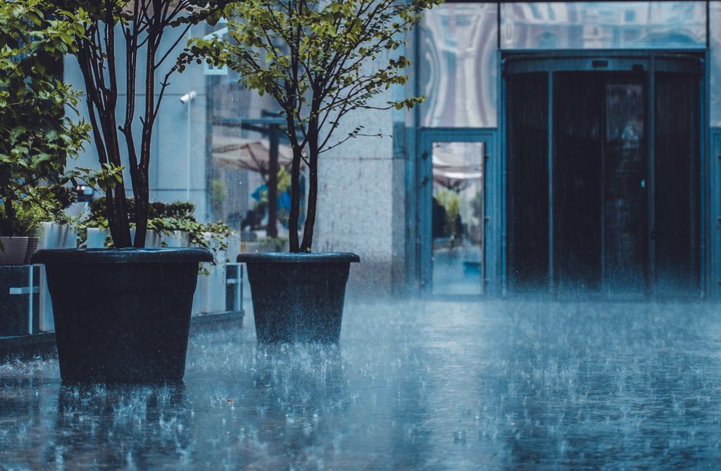
Northern and central California are among the areas facing an increased likelihood of substantial rainfall between November 13 and 15. NOAA’s forecast information identifies these parts of the state as having an increased risk of heavy precipitation, raising concerns for communities already susceptible to flooding.
The concern is particularly significant for locations where heavy rainfall could become concentrated over a relatively short period. Drainage systems may struggle to handle large volumes of water, while rivers and streams could experience rising levels as additional precipitation moves through the landscape.
Communities in areas with a history of flooding may therefore need to pay close attention to changing forecasts. The actual level of risk will depend on how much rain falls, where the heaviest precipitation develops and how quickly the weather system moves across the state.
Sierra Nevada Could Receive Significant Snowfall
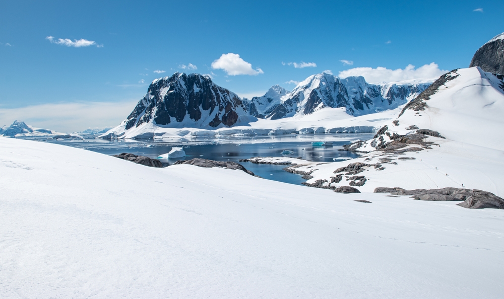
California’s weather concerns extend beyond its northern and central regions, with the Sierra Nevada mountains also included in NOAA’s moderate-risk outlook for significant snowfall at higher elevations.
Heavy mountain snow can create dangerous conditions for drivers, particularly along roads that pass through elevated terrain. Snow accumulation and reduced visibility may make some journeys difficult, while particularly challenging conditions could disrupt travel.
The difference between conditions at lower and higher elevations is important when assessing the forecast. While some communities may primarily experience heavy rain, mountainous areas could face substantial snowfall from the same atmospheric river.
This means the potential disruption across California could look very different depending on where residents live. Flooding concerns may dominate in vulnerable low-lying locations, while communities closer to higher mountain routes may need to prepare for difficult winter driving conditions.
Oregon Faces Damaging Winds And Significant Snowfall
Oregon is also included in the Pacific Northwest’s moderate-risk area for heavy precipitation. As the atmospheric river approaches, parts of the state could experience substantial rainfall, while higher elevations face the possibility of significant snowfall.
The Klamath Mountains are among the areas identified as being at risk of heavy snow. Accumulation at higher elevations could create difficult conditions for motorists and potentially disrupt transportation through mountain corridors.
Coastal Oregon faces a different concern, with strong winds potentially affecting exposed communities. Powerful gusts can bring down trees and branches, creating hazards for roads and nearby properties while potentially damaging overhead electrical infrastructure.
The possibility of falling trees is particularly concerning when heavy rainfall has already saturated the ground. Wet soil can make it easier for trees to become unstable during strong winds, increasing the potential for damage in vulnerable locations.
For residents, this means the approaching system could affect everyday activities in several ways. Travel could become more difficult in mountainous areas, while coastal communities may need to monitor wind warnings and possible electricity disruptions.
Although the forecast does not establish that widespread power outages will occur, the combination of strong winds and vulnerable electrical infrastructure makes Oregon one of the states worth monitoring as the storm approaches.
Washington Included In NOAA’s High-Wind Outlook

Washington is another state being monitored for potentially disruptive weather, particularly along its coastline. Parts of the state’s coastal region have been included in NOAA’s moderate-risk outlook for high winds, raising concerns about possible damage to trees and electrical infrastructure.
Powerful gusts can create problems even when rainfall totals are lower than initially expected. Trees and branches may fall onto roads or power lines, potentially disrupting transportation and leaving some households without electricity.
Rainfall is also possible across portions of Washington, although the latest projections suggest precipitation totals could be lower than earlier forecasts indicated. This adjustment provides a different picture of the rainfall threat, but it does not remove the concerns associated with strong coastal winds.
The precise impact will depend on the location and strength of the strongest gusts. Communities along exposed stretches of coastline could face different conditions from those farther inland, making local weather updates particularly important.
Washington’s inclusion in the outlook demonstrates that the atmospheric river’s potential effects are not limited to heavy rainfall. Even where precipitation projections have decreased, wind-related disruption could remain a concern for residents and infrastructure operators.
How The Approaching Storm Could Cause Power Outages
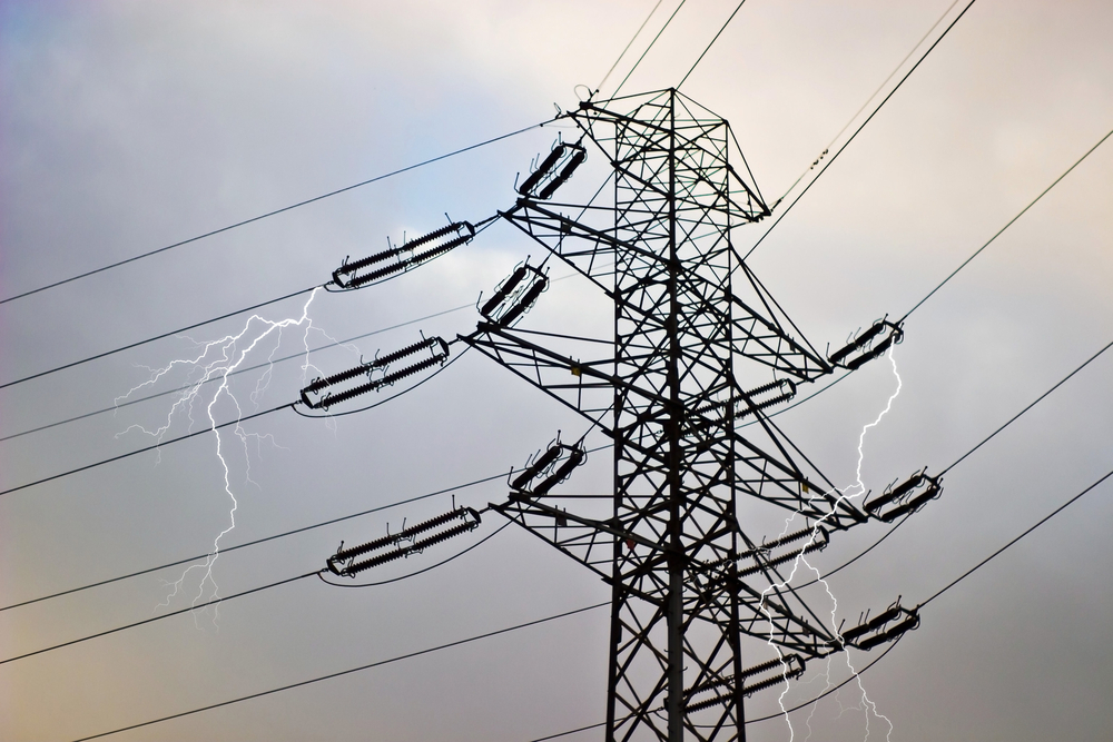
The possibility of electricity disruptions is one of the most concerning aspects of the approaching weather system. Strong winds can damage power lines directly or cause trees and large branches to fall onto electrical infrastructure, potentially interrupting supplies to nearby homes and businesses.
Heavy rainfall can make some of these problems worse by saturating the soil around trees. When powerful gusts arrive, weakened root systems may struggle to keep trees upright, increasing the possibility of falling branches and damaged infrastructure.
Several potential hazards could contribute to disruption across California, Oregon and Washington:
- Falling trees and branches: Strong winds can bring down trees, creating hazards for roads and potentially damaging overhead power lines.
- Saturated ground: Heavy rainfall can loosen soil and make trees more vulnerable to falling when powerful gusts arrive.
- Mountain snowfall: Significant accumulation at higher elevations can create difficult conditions for transportation and infrastructure maintenance.
- Flooding: Heavy precipitation can overwhelm drainage systems and raise river levels, potentially affecting roads and nearby communities.
- Coastal wind exposure: Exposed communities may experience powerful gusts that threaten trees, buildings and electrical infrastructure.
The combination of these hazards could make responding to weather-related damage more complicated. Fallen trees, flooded roads and mountain snow may create additional challenges for crews attempting to reach affected locations.
However, the forecast describes potential risks rather than confirmed damage. The number of households affected, if any, will depend on the eventual strength and location of the storm.
El Niño Adds Context To The Coming Winter
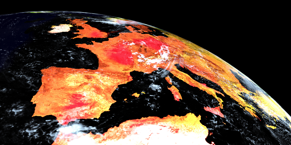
The developing atmospheric river is approaching as a strengthening El Niño is expected to influence the wider US winter weather outlook. This climate pattern involves warmer-than-average sea surface temperatures in the central and eastern tropical Pacific, which can affect atmospheric circulation and influence weather patterns across different parts of the country.
El Niño can change the distribution of precipitation and influence seasonal weather expectations. Its effects vary depending on the strength of the event, the season and the region being considered.
The developing pattern therefore provides useful background for understanding the broader winter outlook. However, forecasters have not established that El Niño is directly responsible for the particular atmospheric river approaching the West Coast.
That distinction is important because individual weather systems can develop through several atmospheric processes. The presence of El Niño offers seasonal context, but it does not establish the cause of this specific storm.
For California, Oregon and Washington, the immediate concern remains the approaching combination of rainfall, snowfall and strong winds. Residents will need to follow forecasts for their own communities rather than assume the broader El Niño pattern determines exactly what conditions they will experience.
What Residents Should Do Before The Weather Arrives
With November 13 through 15 identified as an important period in the forecast, residents have time to review their preparations before potentially hazardous conditions develop. The exact impacts remain uncertain, but some straightforward precautions can help households manage temporary disruption.
People living in flood-prone locations should pay attention to local warnings and be aware of routes that could become difficult to use during heavy rainfall. Residents in coastal areas may also want to secure loose outdoor objects that could become dangerous during strong winds.
Those living in areas where power outages are possible can prepare for temporary interruptions by keeping essential supplies accessible. Useful preparations include:
- Follow local weather alerts: Check updates from NOAA and local emergency management authorities as forecasts become more specific.
- Prepare lighting supplies: Keep flashlights and spare batteries somewhere accessible in case electricity is interrupted.
- Charge electronic devices: Fully charge mobile phones and portable power banks before potentially severe weather arrives.
- Secure outdoor objects: Check gardens and outdoor spaces for loose items that could be moved by strong winds.
- Monitor flood warnings: Residents in vulnerable areas should pay attention to local flood alerts and avoid routes that become unsafe.
- Check mountain travel conditions: Motorists planning journeys through higher elevations should monitor snowfall forecasts and road conditions before setting out.
Households should also consider how a temporary electricity interruption could affect their daily routines. Keeping essential supplies together and knowing where to find local emergency information can help reduce confusion if conditions deteriorate.
Residents should follow instructions issued by local authorities, particularly if evacuation warnings or severe weather alerts are announced. Conditions can change quickly during powerful storms, and official local guidance should take priority over assumptions based on broader regional forecasts.
Forecasters Continue Monitoring The Developing System
The atmospheric river is still being monitored, and predictions about rainfall amounts, snowfall and wind conditions may change as the system approaches the West Coast. Forecasts are expected to become more specific as meteorologists gain additional information about its development and potential movement.
The November 13 through 15 period remains the key window highlighted in the supplied outlook, although the exact timing and severity of impacts could differ between locations. Coastal communities, inland valleys and mountain regions may experience very different conditions despite being affected by the same weather system.
For California, Oregon and Washington, the approaching storm presents a combination of hazards that could disrupt transportation, damage infrastructure and potentially interrupt electricity supplies. Residents should continue checking local forecasts and prepare for the conditions relevant to their own areas.
A powerful atmospheric river can deliver much-needed moisture, but when heavy rain, mountain snow and damaging winds arrive together, communities have little room for complacency. The coming forecast updates will help determine just how disruptive this West Coast storm could become.