
Your cart is currently empty!
Scientists Have Created a Way to Discover Where Your Home Was Millions of Years Ago

The place you call home might look permanent, but the ground beneath your feet has a history that stretches back millions of years. Long before your neighborhood existed, before roads crossed the landscape or buildings rose above the ground, the land itself could have been sitting in a completely different part of the world. What is now a familiar stretch of countryside or a busy city street may once have occupied a dramatically different latitude, surrounded by landscapes that would be almost impossible to recognize today.
Contents
show
Now, scientists have developed an online tool that lets you investigate this extraordinary history for yourself. Called Paleolatitude.org, the calculator can trace the estimated ancient position of locations across Earth through approximately 320 million years of geological history. The tool turns complex research into something anyone can explore, offering a new way to look at your hometown, your workplace, or even the patch of ground beneath your house.
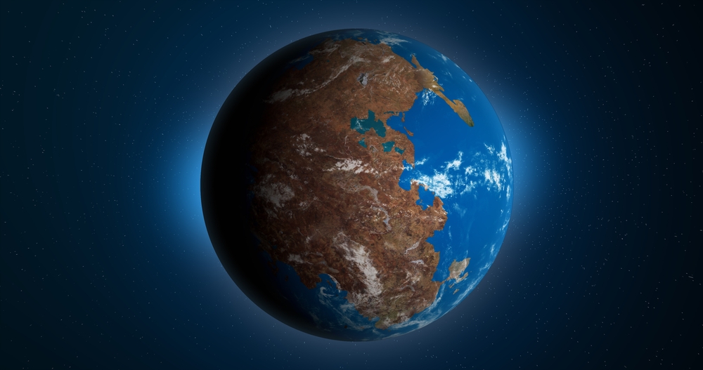
A New Tool Can Trace Your Location Back 320 Million Years
Developed by researchers associated with Utrecht University and collaborating institutions, Paleolatitude.org 3.0 allows users to investigate how locations have shifted across Earth’s surface over geological time. The updated calculator was described in a study published in PLOS ONE on April 29, 2026, titled Paleolatitude.org 3.0: A Calculator for Paleoclimate and Paleobiology Studies Based on a New Global Paleogeography Model. Its purpose is to help researchers estimate where geological material was situated when it originally formed, using updated models of Earth’s changing geography.
The idea behind the website is surprisingly accessible. Users can select a location and examine how its estimated latitude has changed across the geological timeline, reaching back roughly 320 million years. That means the same place you recognize on a modern map can be examined within a completely different geographical setting. You can investigate your hometown, compare locations around the world, and see how their positions relative to the equator have changed over time.
The scientific work behind the calculator is considerably more complicated than clicking a point on a map. Researchers have to combine geological evidence with reconstructions of tectonic plate movement, accounting for the fact that Earth’s surface has been repeatedly rearranged. The updated version incorporates improved geographical models and additional geological information, allowing it to represent areas that earlier reconstructions could not describe as fully.
Anyone curious about their own location can visit Paleolatitude.org and begin exploring. The results are estimates based on scientific evidence, rather than a perfect reconstruction of every ancient landscape, but they offer an accessible starting point for understanding just how much Earth’s geography has changed.
The Ground Beneath Your House Has a Surprising Past
Most people think about their home’s history in terms of previous owners, old photographs, or buildings that stood on the property before the current house was constructed. Even a neighborhood that has existed for centuries can seem ancient when compared with modern life. Yet these human histories represent only a tiny fraction of the time that the land itself has existed, and the geological history beneath a home can stretch back far beyond recorded civilization.
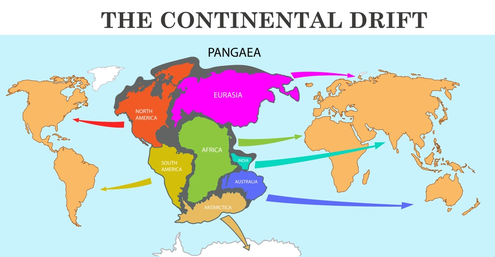
Over millions of years, tectonic plates have carried sections of Earth’s crust across the planet, bringing continents together and pulling them apart. Mountains have risen, ocean basins have opened, and enormous landmasses have formed before eventually breaking into smaller pieces. The location that now sits comfortably within a particular country or state may therefore have occupied a very different position long before its modern geography emerged.
One of the most famous examples of this process is Pangaea, a supercontinent that brought together much of Earth’s landmass hundreds of millions of years ago. As tectonic forces gradually changed the arrangement of the continents, the familiar outlines of today’s world began to take shape. The movement continues today, although tectonic plates generally travel only a few centimeters each year, making their movement almost impossible to notice in everyday life.
Paleolatitude.org gives users a way to connect these enormous geological processes with somewhere they already know. Instead of viewing continental drift as an abstract concept in a textbook, you can examine the estimated history of a particular location. The ground beneath your home may feel permanent, but its geographical position is only one chapter in a much longer story.
How Scientists Discover Where Ancient Rocks Once Were
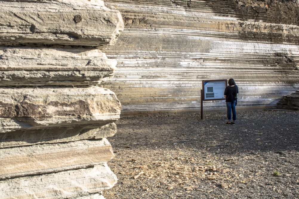
The calculator relies on a scientific technique known as paleomagnetism, which allows researchers to investigate magnetic information preserved in rocks. Certain minerals respond to Earth’s magnetic field as rocks form or cool, preserving information about the field’s direction at that time. Because the magnetic field varies with geographical position, these records can help scientists estimate the latitude at which the rocks originally formed.
The process gives researchers a way to study ancient geography without relying solely on the present-day positions of continents. A rock discovered in one location may have formed when the surrounding land was situated much farther north or south. By studying the magnetic signals preserved in the rock, scientists can recover clues about its original position and compare those clues with geological evidence about subsequent movement.
Magnetic Minerals Preserve Clues From the Past
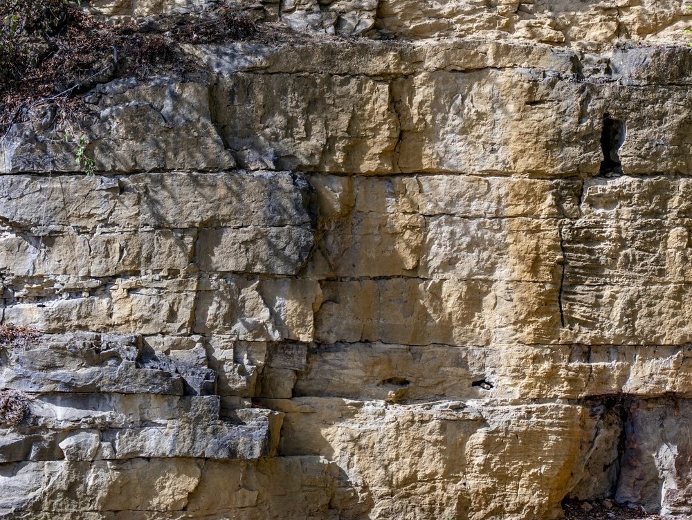
Magnetic minerals inside rocks act as a record of conditions during their formation. Researchers measure their magnetic properties and interpret the results using established knowledge of Earth’s magnetic field. These measurements can provide estimates of ancient latitude, although they do not automatically reveal every detail about where the rock was located or what its surrounding environment looked like.
Scientists must also consider how geological processes may have altered the original magnetic signal. Heat, pressure, chemical changes, and later geological events can complicate the evidence, so interpreting the measurements requires careful analysis. The most useful reconstructions combine magnetic observations with other geological information instead of treating a single measurement as a complete record of the past.
Improved Models Make the Reconstructions More Detailed
The updated Paleolatitude calculator incorporates a revised global paleogeographic model, along with additional information about geological regions that have been deformed by mountain-building processes. These areas can be particularly challenging because layers of rock may have been pushed over one another as tectonic plates collided. Accounting for those changes helps researchers reconstruct the positions of geological units more accurately.
The researchers also developed improved methods for representing uncertainty in their estimates. That is important because geological reconstructions become less certain when evidence is incomplete or the history of a region is especially complicated. By providing estimates alongside information about their uncertainty, the calculator gives researchers a more useful basis for interpreting ancient geographical patterns.
The Tool Could Help Explain Ancient Climate and Lost Ecosystems
Although exploring your hometown’s geological history is an appealing use of the calculator, the research has much wider scientific applications. Latitude affects the amount and angle of sunlight a region receives, influencing temperature patterns and the distribution of climate zones. When researchers know where a rock or fossil originally formed, they gain important context for understanding the environmental conditions that existed at the time.
Consider a fossil discovered in a region that now has a temperate climate. If the surrounding land occupied a different latitude when the organism lived, its ancient environment may have been quite different from the landscape visible today. Reconstructing the geographical position helps researchers investigate whether the organism lived in conditions that were warmer, colder, wetter, or drier than those found in the same region now. Additional geological evidence is still needed to establish what those conditions were actually like.
The calculator can also support research into biodiversity, helping scientists investigate how the distribution of life changed as continents moved and climates shifted. The updated study demonstrates an application involving biodiversity patterns during the Late Jurassic period, combining reconstructed geographical positions with information about geological samples. This approach helps researchers examine how ancient organisms were distributed across the planet and how those patterns might relate to environmental conditions.
Understanding these relationships can reveal more about how Earth’s living systems responded to long-term environmental change. Researchers can compare fossil records from different periods and geographical regions, then investigate how the movement of continents influenced habitats and the distribution of species. Paleolatitude does not provide all the answers on its own, but it supplies a crucial piece of evidence for reconstructing the conditions in which ancient life evolved.
What the Calculator Can Tell You About Your Location
For someone using the website out of curiosity, the most interesting result may be the estimated change in latitude over time. The calculator allows users to investigate how a location’s position relative to the equator has changed, providing a different perspective on the familiar places shown on modern maps. Comparing locations can also reveal that different parts of the world have experienced very different geological histories.
However, latitude alone does not describe an entire ancient landscape. It cannot establish whether a particular address was covered by a forest, buried beneath an ocean, or occupied by a specific animal species without additional evidence. The tool focuses on geographical reconstruction, which scientists can then combine with fossil discoveries, rock formations, and other records to investigate what the environment may have been like.
The results also depend on the quality and availability of the underlying geological evidence. Some regions have a richer record of ancient magnetic information than others, while complex geological histories can introduce additional uncertainty. The calculator may not provide the same depth of information for every location or every period within its full timeline, so its estimates need to be interpreted within the limits of the available data.
For the strongest results, users should pay attention to the timeline and uncertainty information provided by the calculator. A reconstructed latitude offers a scientific estimate of geographical position, not an exact image of the past. Even with those limitations, the tool gives curious users a practical way to investigate the enormous changes that have shaped Earth’s surface.
How to Explore Your Home’s Ancient Geography
Getting started does not require specialist geological knowledge. Visit Paleolatitude.org and use the available map and location options to select the place you want to investigate. Once you have chosen a location, examine the resulting information to see how its estimated latitude changes throughout the geological timeline.
You can make the experience more interesting by comparing your hometown with other places around the world. Two locations that appear relatively close on a modern map may have different geological histories, while regions now separated by oceans may once have been connected through ancient continental arrangements. These comparisons help illustrate why modern geography cannot always be used to understand where land was located millions of years ago.
It is also worth exploring several points along the timeline rather than focusing on a single date. A location’s position may have changed considerably across different geological periods, and examining that progression can reveal patterns that would be missed by looking at one moment alone. If you are interested in the scientific side, the study linked on the website provides further details about the model and the methods used to produce its estimates.
The most important thing to remember is that the calculator reconstructs geographical position using geological evidence and scientific models. It does not generate a complete visual record of the ancient world, but it allows you to investigate a history that would otherwise be difficult to imagine. A few minutes spent exploring a familiar location can open up a much longer perspective on the ground beneath your feet.
Your Home Is Part of a Much Older Story
Modern addresses make it easy to think of land as something fixed. Streets stay on maps, buildings occupy familiar plots, and the surrounding landscape can appear unchanged for generations. Yet the geological history beneath those places extends far beyond human memory, shaped by forces that have moved continents and transformed the planet over hundreds of millions of years.
Paleolatitude.org offers a way to investigate that history without needing to be a professional scientist. By combining magnetic evidence preserved in rocks with updated models of tectonic movement, the calculator allows users to explore how the geographical position of a location may have changed through time. Your house may have the same address tomorrow, but the land beneath it has a history that began long before anyone could have imagined building a home there.
Sources:
- Van Hinsbergen, D. J. J., Vaes, B., Boschman, L. M., Lom, N., Van De Lagemaat, S. H. A., Advokaat, E. L., De Baar, S., Fraters, M. R. T., Paridaens, J., & Jarochowska, E. B. (2026c). Paleolatitude.org 3.0: A calculator for paleoclimate and paleobiology studies based on a new global paleogeography model. PLoS ONE, 21(4), e0346817. https://doi.org/10.1371/journal.pone.0346817
- Van Hinsbergen, D. J. J., Vaes, B., Boschman, L. M., Lom, N., Van De Lagemaat, S. H. A., Advokaat, E. L., De Baar, S., Fraters, M. R. T., Paridaens, J., & Jarochowska, E. B. (2026d). Paleolatitude.org 3.0: A calculator for paleoclimate and paleobiology studies based on a new global paleogeography model. PLoS ONE, 21(4), e0346817. https://doi.org/10.1371/journal.pone.0346817