
Your cart is currently empty!
NASA Releases Disturbing New Images As ‘Super El Niño’ Begins Forming Across Pacific
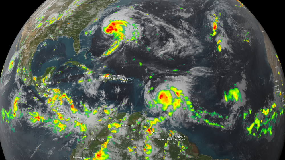
NASA scientists are closely monitoring a massive body of warm water spreading across the Pacific Ocean after newly released satellite images revealed conditions that could trigger a powerful El Niño event later this year. The enormous swell of higher and warmer water has already reached the coast of South America, and experts say the phenomenon is beginning to resemble the early stages of some of the strongest El Niño events ever recorded. Researchers are now warning that if the warming continues accelerating over the coming months, large parts of the world could face severe flooding, extreme drought, food supply disruption, deadly heatwaves, and major economic consequences tied to shifting global weather patterns.
Contents
show
The alarming images were captured by the Sentinel-6 Michael Freilich satellite, an international mission launched in 2020 that measures sea surface height across the planet with extraordinary accuracy. Scientists say rising sea levels in certain parts of the Pacific are one of the clearest signs that ocean temperatures below the surface are heating rapidly because warmer water naturally expands. NASA researchers have already detected several powerful Kelvin waves moving eastward across the equatorial Pacific during 2026, a major signal that El Niño conditions are building strength. While experts say it is still too early to determine exactly how intense the event may become, comparisons are already being made to the devastating El Niño events of 1997 and 2015, both of which caused widespread climate disruption across multiple continents.
NASA Says The Pacific Ocean Is Rapidly Changing
The new satellite observations show an enormous pulse of warm water stretching hundreds of miles across the Pacific Ocean and moving steadily toward South America. Scientists identified the warm mass using sea level measurements collected by Sentinel-6 Michael Freilich, which maps ocean height every 10 days down to fractions of an inch. Because warm water expands upward, even relatively small changes in sea surface elevation can reveal dramatic shifts happening below the ocean surface. Researchers say the latest readings showed sea levels around Peru reaching nearly 5.9 inches above long-term averages by mid-May, which immediately raised concerns among climate scientists tracking the development of El Niño conditions.
Josh Willis, a sea level researcher at NASA’s Jet Propulsion Laboratory in Southern California and project scientist for Sentinel-6 Michael Freilich, said the warming event is already beginning to intensify faster than expected. “While this year’s event started a bit later than the big El Niños of 2015 and 1997, it’s beginning to catch up,” Willis explained. Scientists say the comparison is significant because those previous El Niño events caused billions of dollars in damage worldwide through flooding, crop failures, droughts, destructive storms, and record-breaking global temperatures. Many meteorologists are now watching closely to see whether the current warming trend develops into what experts often describe as a “super El Niño.”
What Scientists Mean By A ‘Super El Niño’
Meteorologists use the phrase “super El Niño” to describe exceptionally strong warming events that dramatically alter weather patterns around the globe. These events occur when large amounts of unusually warm water accumulate across the eastern and central Pacific Ocean over several consecutive months, creating widespread disruptions in atmospheric circulation. Strong El Niño events can shift the jet stream, alter rainfall patterns, intensify flooding in some regions, and create dangerous drought conditions in others. The consequences often extend far beyond the Pacific Ocean itself because the changes affect weather systems on nearly every continent.
Some of the biggest global impacts associated with major El Niño events include:
- Severe flooding in coastal regions of South America and parts of the southern United States
- Intense drought conditions across parts of Africa, Australia, and Southeast Asia
- Increased wildfire danger caused by extreme heat and dry conditions
- Damage to marine ecosystems from prolonged ocean heatwaves
- Reduced crop yields that can increase food prices globally
- Record-breaking global temperatures driven by warmer oceans and atmosphere
Scientists stress that every El Niño event behaves differently, but stronger systems almost always produce more disruptive weather extremes worldwide. Researchers say the next several months will be critical in determining whether the current Pacific warming stabilizes or continues accelerating toward a much larger climate event.
The Massive Kelvin Waves Behind The Warming
At the center of NASA’s observations are enormous pulses of warm water known as Kelvin waves. These waves form when trade winds over the Pacific weaken or temporarily reverse direction, allowing warm tropical water to surge eastward toward South America. Under normal conditions, strong easterly trade winds push warm surface water westward across the Pacific, but when those winds weaken, ocean temperatures begin shifting dramatically. Scientists say the latest satellite measurements show multiple Kelvin waves developing during the first half of 2026, suggesting the Pacific Ocean is entering a period of unusual instability.
NASA reported that one smaller Kelvin wave formed near Micronesia in late January before fading by mid-February, while another larger wave emerged in early March and continued moving eastward over several weeks. Researchers say these repeated waves are important because El Niño events typically develop after multiple warm water surges build on top of each other over time. As the warm water reaches countries such as Peru, Ecuador, and Colombia, sea surface temperatures rise rapidly and begin influencing weather systems across the globe.
Nadya Vinogradova Shiffer, lead program scientist at NASA Headquarters in Washington, explained how satellites are helping scientists monitor the developing conditions in real time. “NASA’s observation of El Niño uses sea level satellites like Sentinel-6 Michael Freilich to track massive Kelvin waves as they cross the Pacific, capture changes in Earth’s ocean thermodynamics, improve forecasts of weather extremes, and help communities prepare for potential coastal hazards,” she said. Researchers say this level of monitoring allows scientists to identify dangerous climate shifts months before the strongest impacts arrive.
Why El Niño Has Such Huge Global Consequences
One reason scientists pay such close attention to El Niño is because the phenomenon has the power to reshape weather patterns around the world for months at a time. When ocean temperatures rise across the eastern Pacific, the atmosphere reacts by shifting storm tracks and altering the movement of the jet stream. Those changes can completely transform rainfall patterns, creating catastrophic floods in some regions while triggering severe droughts in others. Even countries located thousands of miles from the Pacific Ocean can experience major weather disruptions linked to El Niño.
In the United States, El Niño conditions often bring wetter weather across the Gulf Coast and southeastern states while parts of the northern U.S. and Canada experience warmer and drier conditions. The phenomenon can also affect hurricane activity by suppressing storms in the Atlantic while increasing cyclone development across the Pacific. Previous strong El Niño events have contributed to deadly flooding in California, devastating drought conditions in parts of Africa, and widespread agricultural damage across several continents.
Scientists also warn that El Niño events often push global temperatures even higher during years that are already warming because of climate change. Oceans absorb enormous amounts of heat from the atmosphere, and when large regions of the Pacific become unusually warm, average temperatures across the planet can rise sharply. Researchers say this is one reason the strongest El Niño years frequently become some of the hottest years ever recorded.
The Name ‘El Niño’ Dates Back Hundreds Of Years
Although modern satellites now track El Niño from space, the phenomenon itself has been known for centuries. The term “El Niño,” which translates to “the boy” in Spanish, was first used by fishermen along the coast of South America during the 1600s. They noticed that unusually warm ocean waters often appeared around Christmastime and dramatically reduced fish populations near the coast. The warming disrupted marine ecosystems and made fishing much more difficult for local communities that depended on stable ocean conditions for survival.
Over time, scientists discovered that the warming was part of a much larger climate cycle known as the El Niño Southern Oscillation, or ENSO. The cycle shifts irregularly every two to seven years and influences weather patterns throughout the tropical Pacific. During El Niño phases, warmer ocean temperatures and weaker trade winds create conditions that can disrupt rainfall and storm activity around the world. Scientists say understanding these cycles has become increasingly important as climate change intensifies global weather extremes.
Researchers now use advanced satellite systems like Sentinel-6 Michael Freilich to monitor the oceans continuously and detect early warning signs long before the strongest impacts occur. The mission itself represents a massive international collaboration involving NASA, the European Space Agency, NOAA, and several other scientific organizations working together to study Earth’s changing climate systems.
Scientists Say The Most Dangerous Phase Could Still Be Ahead
Despite the growing concern surrounding the Pacific warming, scientists say the event has not yet reached its strongest phase. El Niño systems typically peak between November and January, meaning the current warming trend could continue strengthening for several more months before its full impacts become visible. Researchers are particularly concerned because the Pacific has already shown signs of repeated Kelvin wave activity, which historically has been associated with stronger El Niño development.
Severine Fournier, deputy project scientist for Sentinel-6 Michael Freilich, warned that even experienced researchers cannot fully predict how severe the final outcome may become. “Every El Niño is different,” Fournier explained. “But they almost always make for a hot year and big changes in rainfall in parts of the globe.” Scientists say the coming months will determine whether 2026 becomes another historic climate year driven by one of the strongest El Niño systems seen in decades.
For now, satellites continue scanning the Pacific every few days as researchers watch for additional signs that the warming event is accelerating. If the current trends continue, millions of people around the world could soon begin feeling the effects through floods, droughts, rising temperatures, and increasingly unpredictable weather patterns.
California flooding, climate change, Climate Crisis, droughts, El Niño 2026, extreme weather, floods, global heatwave, Global Warming, Jet Propulsion Laboratory, Kelvin waves, NASA, NASA satellite images, NOAA, ocean temperatures, Pacific heatwave, Pacific Ocean, Peru, sea level rise, Sentinel-6 Michael Freilich, South America, Super El Niño, weather disasters, weather warning